
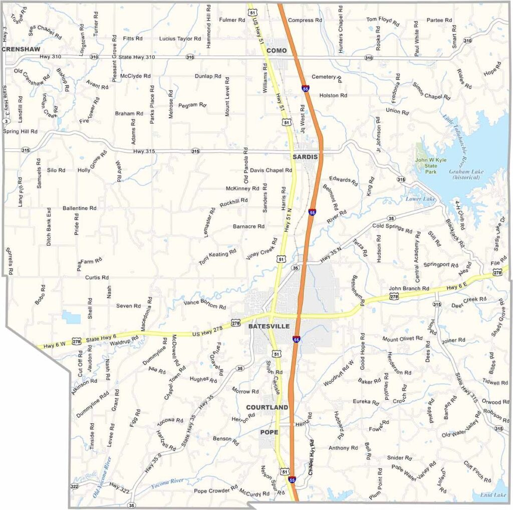
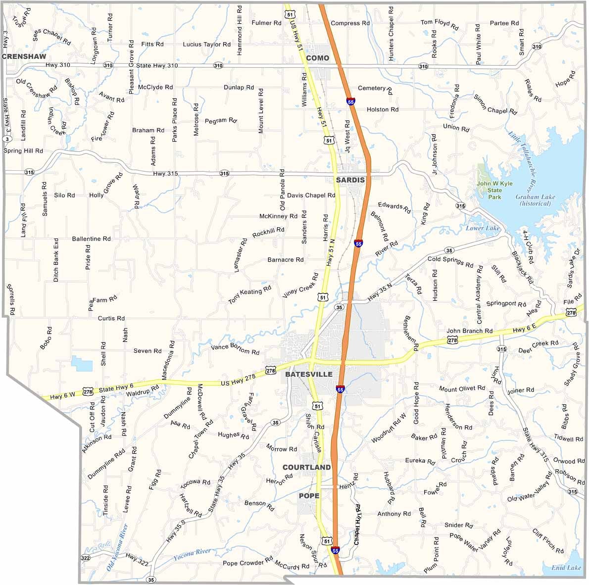
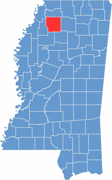
Up in northwest Mississippi, you'll find Panola County straddling the line between hills and delta. It's a place of two minds, with Batesville to the west and Sardis to the east.
The name Panola comes from an Indian word meaning "cotton," and you'll still see plenty of that fluffy white stuff growing in the fields.
Sardis Lake is a big draw for folks who like to fish or just cool off on a hot summer day. The county has some music history too, especially in the blues genre.

Mississippi Counties
Rankin County Map Download Mississippi – Outline Map and Blank Map

Mississippi Counties
Madison County Map Download Mississippi – Outline Map and Blank Map

Mississippi Counties
Jackson County Map Download Mississippi – Outline Map and Blank Map

Mississippi Counties
Hinds County Map Download Mississippi – Outline Map and Blank Map

Mississippi Counties
Harrison County Map Download Mississippi – Outline Map and Blank Map

Mississippi Counties