
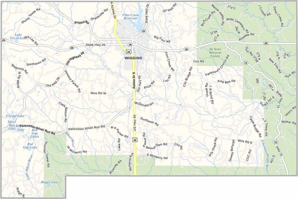
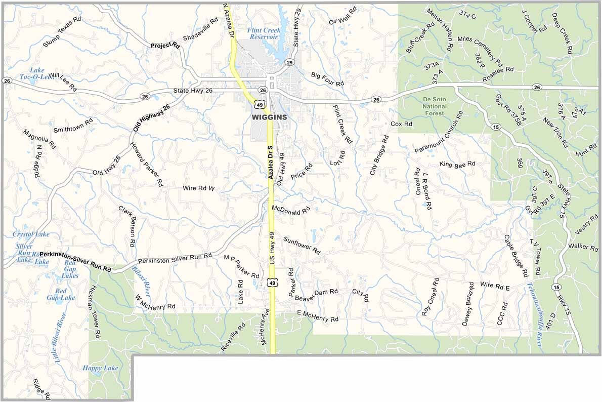
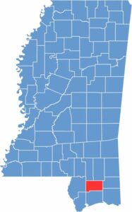
On the southern edge of Mississippi, you'll find Stone County, a place where pine forests stretch across the De Soto National Forest. The county seat is a small town named Wiggins.
People here know their neighbors, so it's common to see them waving from their porches. Stone County isn't huge, with just over 19,000 folks calling it home, but what it lacks in size, it makes up for in character.
Red Creek winds through the county with prime spots for fishing and kayaking. Local farms dot the landscape, growing everything from blueberries to Christmas trees.

Mississippi Counties
Rankin County Map Download Mississippi – Outline Map and Blank Map

Mississippi Counties
Madison County Map Download Mississippi – Outline Map and Blank Map

Mississippi Counties
Jackson County Map Download Mississippi – Outline Map and Blank Map

Mississippi Counties
Hinds County Map Download Mississippi – Outline Map and Blank Map

Mississippi Counties
Harrison County Map Download Mississippi – Outline Map and Blank Map

Mississippi Counties