
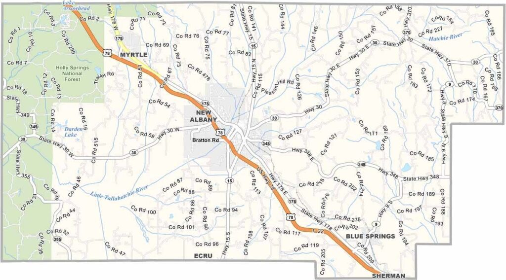
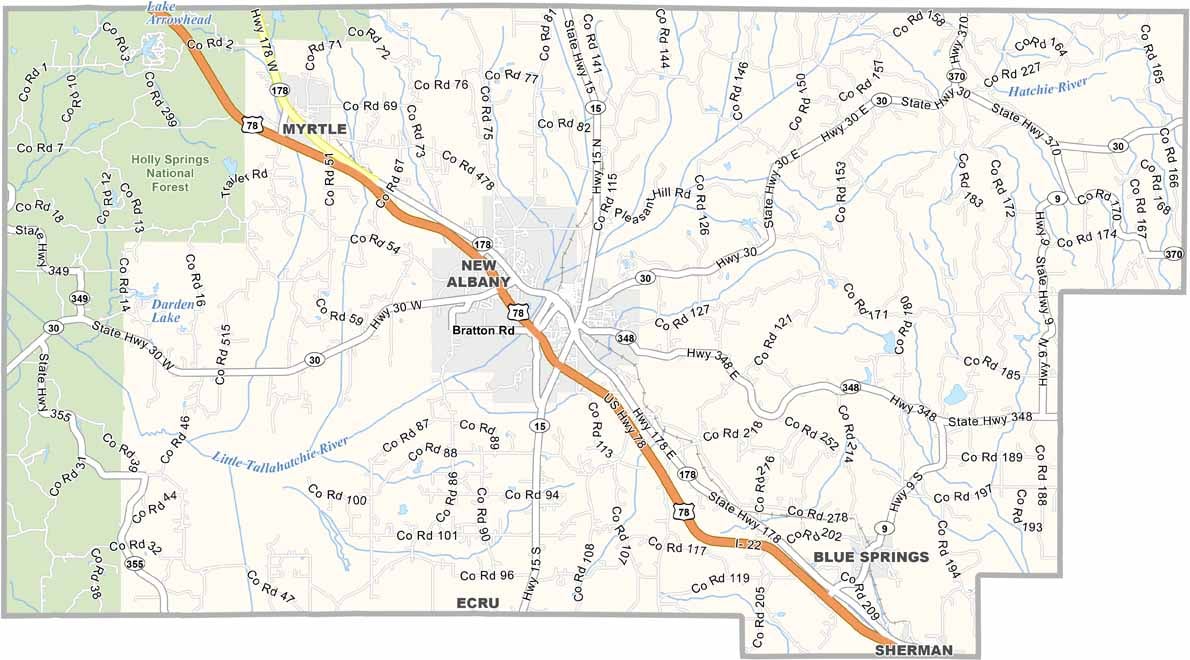
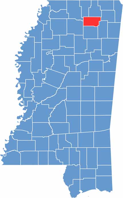
Union County sits in the northeast corner of Mississippi, near the Tennessee and Alabama borders. Locals are proud of their William Faulkner connection. That's right, the famous author was born here.
Fishing is big in Union County. Sardis Lake, just to the west and outside the county, brings in anglers from all over. You'll find some of the best catfish around these parts.
The Tanglefoot Trail runs through the county, offering 44 miles of scenic hiking and biking. Festivals like the Tallahatchie Riverfest bring the community together each year.

Mississippi Counties
Rankin County Map Download Mississippi – Outline Map and Blank Map

Mississippi Counties
Madison County Map Download Mississippi – Outline Map and Blank Map

Mississippi Counties
Jackson County Map Download Mississippi – Outline Map and Blank Map

Mississippi Counties
Hinds County Map Download Mississippi – Outline Map and Blank Map

Mississippi Counties
Harrison County Map Download Mississippi – Outline Map and Blank Map

Mississippi Counties