
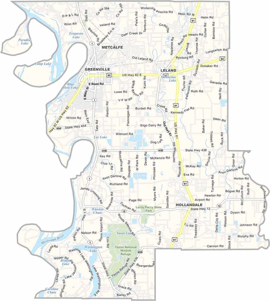
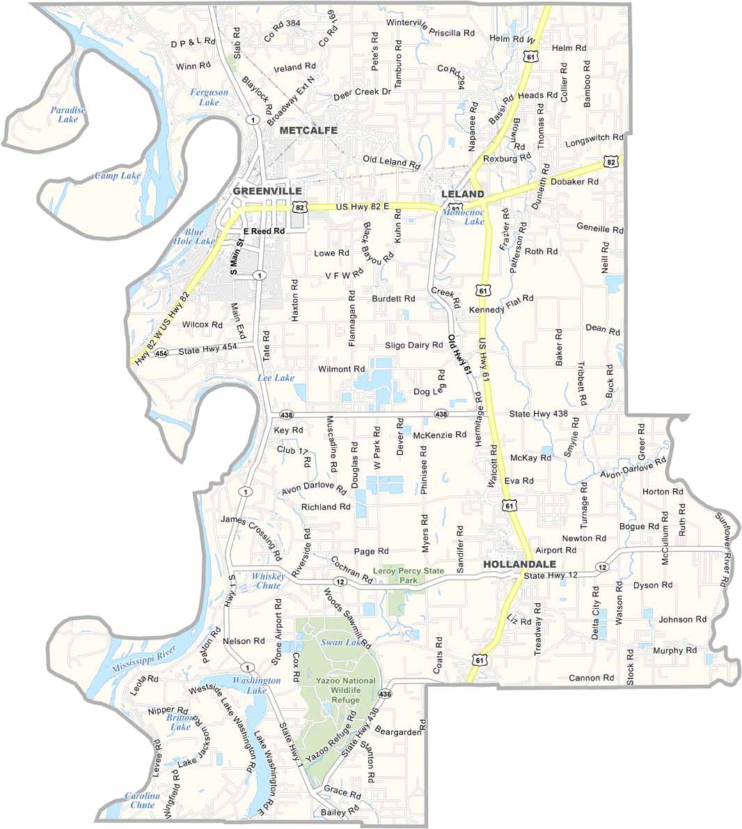
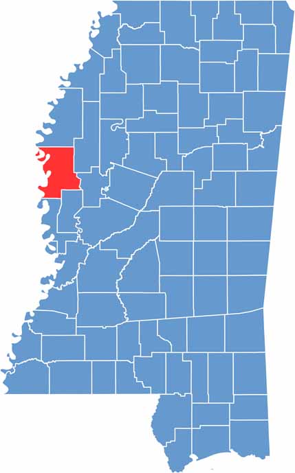
Washington County lies deep in the heart of the Mississippi Delta. Greenville, the county seat, sits right on the mighty Mississippi River.
It's flat here. The soil is rich, and farming is still king. Cotton fields stretch far and wide, broken up by the occasional stand of trees or sleepy town.
Blues music runs deep in these parts, and you can still catch live shows in smoky juke joints on weekends. Catfish ponds dot the landscape too.

Mississippi Counties
Rankin County Map Download Mississippi – Outline Map and Blank Map

Mississippi Counties
Madison County Map Download Mississippi – Outline Map and Blank Map

Mississippi Counties
Jackson County Map Download Mississippi – Outline Map and Blank Map

Mississippi Counties
Hinds County Map Download Mississippi – Outline Map and Blank Map

Mississippi Counties
Harrison County Map Download Mississippi – Outline Map and Blank Map

Mississippi Counties