
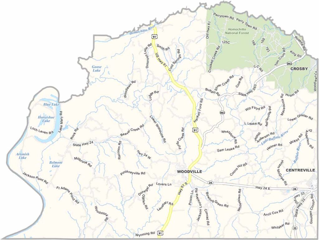
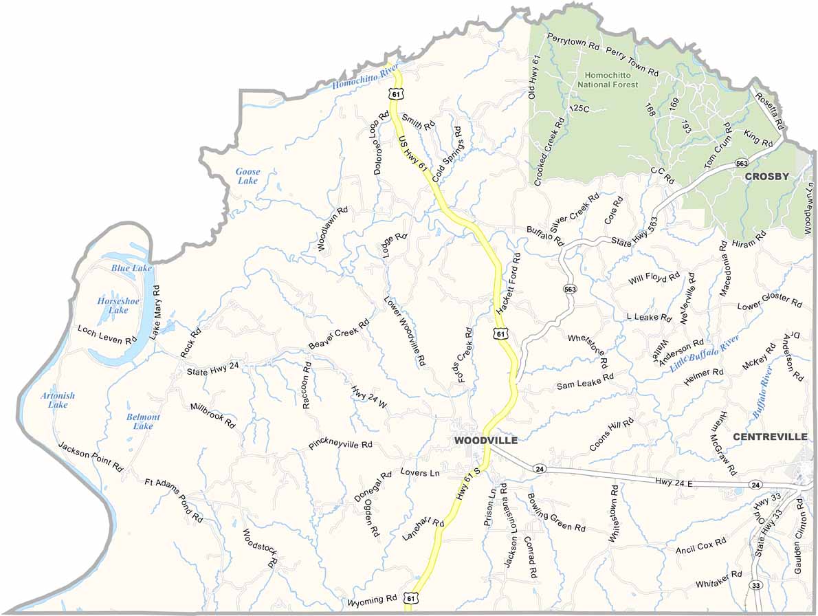
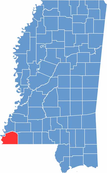
Down in the southwest corner of Mississippi, you'll find Wilkinson County, a place with deep roots and deeper stories. The Mississippi River forms its western border, next to Louisiana.
Woodville serves as the county seat, a town that feels frozen in time. Folks here are proud of their heritage, and they'll tell you about the days when cotton was king and steamboats ruled the river.
Wilkinson County has its share of old plantation homes, which stand as silent witnesses to a complicated past. Nature lovers might dig the Clark Creek Natural Area, with its rare waterfalls and hiking trails.

Mississippi Counties
Rankin County Map Download Mississippi – Outline Map and Blank Map

Mississippi Counties
Madison County Map Download Mississippi – Outline Map and Blank Map

Mississippi Counties
Jackson County Map Download Mississippi – Outline Map and Blank Map

Mississippi Counties
Hinds County Map Download Mississippi – Outline Map and Blank Map

Mississippi Counties
Harrison County Map Download Mississippi – Outline Map and Blank Map

Mississippi Counties