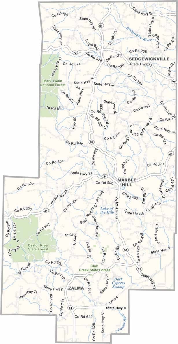
Bollinger County, Missouri

Bollinger County is located in southeast Missouri, where agriculture remains an important part of everyday life. Corn and soybeans are among the county’s leading crops, helping support its rural economy, but farming is only part of the story.

The county was shaped by early German settlers whose influence can still be seen in local traditions and culture. The county seat, Marble Hill, is known for its small-town charm and locally owned restaurants that reflect the area's welcoming character.

Beyond its farmland, Bollinger County features rolling hills, thick forests, and abundant natural beauty. These wooded landscapes provide habitat for a wide variety of wildlife, and on occasion, residents and visitors may even encounter a American black bear roaming through the area.
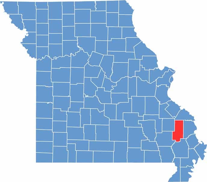

Bollinger County location map showing the county's position within Missouri.
Category Details
County Name Bollinger County
County Seat Marble Hill
Cities, Towns, and Communities Marble Hill, Zalma, Glen Allen, Patton, Leopold
Interstates and Highways MO 51, MO 72
Population Approximately 12,000
FIPS Code 29-017
Total Area (Land and Water) 621 square miles (Land: 618 sq mi, Water: 3 sq mi)
Time Zone Central Time Zone (CT)
State Missouri
Coordinates 37.3173° N, 90.0476° W
Etymology Named after George Frederick Bollinger, an early settler
Major Landmarks Bollinger Mill State Historic Site, Castor River Shut-Ins, Mingo National Wildlife Refuge
Adjacent Counties (and Direction) Perry County (North), Cape Girardeau County (East), Stoddard County (South), Wayne County (Southwest), Madison County (Northwest)
Scroll to Top