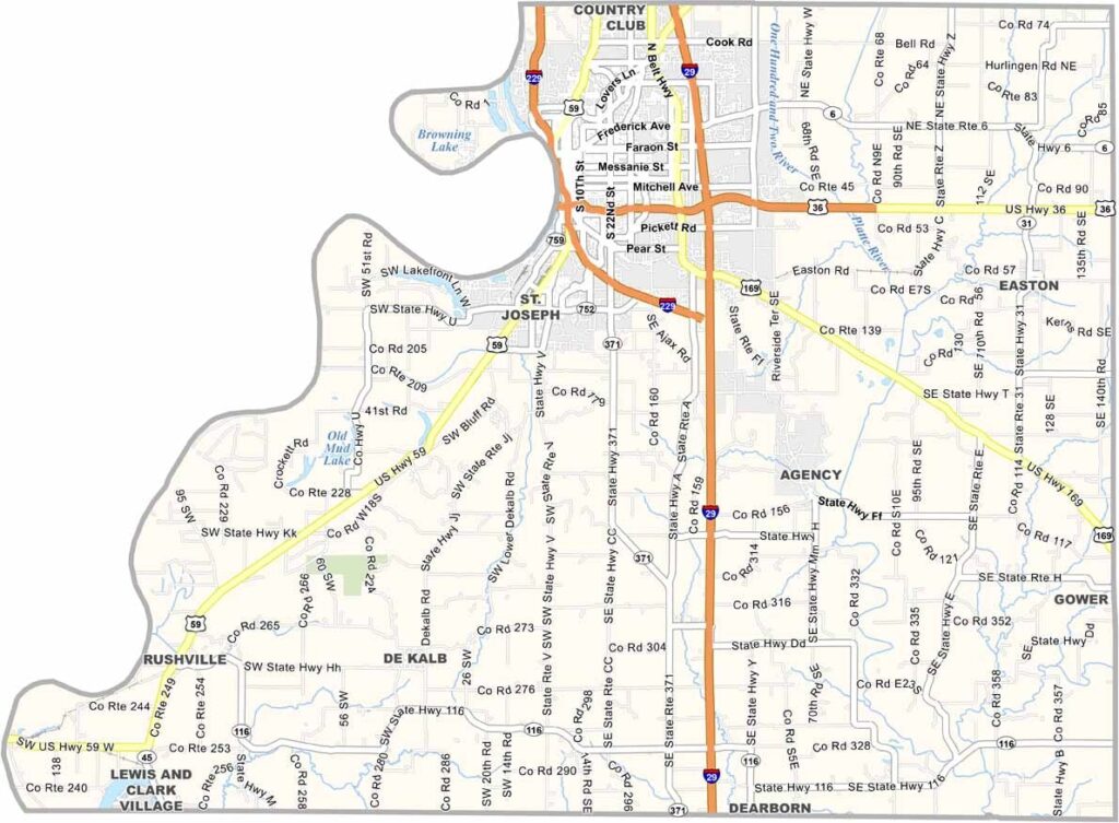
Buchanan County, Missouri

Buchanan County is located in northwest Missouri and is home to St. Joseph, the county seat and largest city. During the nineteenth century, St. Joseph served as an important departure point for settlers traveling westward across the frontier.

The county is rich in history. Pony Express began in St. Joseph, and the city is known for its historic mansions, museums, and landmarks. Visitors can also explore the site where Jesse James met his famous end.

The Missouri River forms the county’s western border with Kansas. Beyond the urban areas, fertile farmland produces large crops of corn and soybeans. Buchanan County also has a strong barbecue tradition, with local restaurants and community events celebrating this regional favorite.
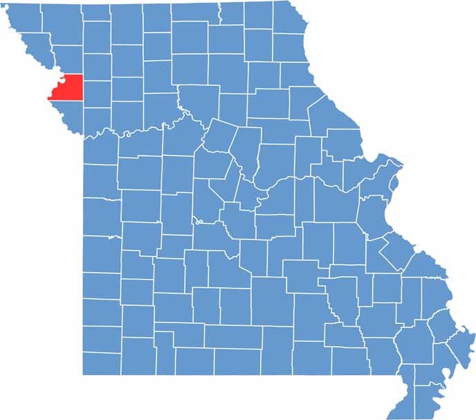

Buchanan County location map showing the county's position within Missouri.
Category Details
County Name Buchanan County
County Seat St. Joseph
Cities, Towns, and Communities St. Joseph, Gower, Easton, De Kalb, Agency, Rushville
Interstates and Highways I-29, US 36, US 59, MO 6, MO 116
Population Approximately 88,000
FIPS Code 29-021
Total Area (Land and Water) 415 square miles (Land: 408 sq mi, Water: 7 sq mi)
Time Zone Central Time Zone (CT)
State Missouri
Coordinates 39.7336° N, 94.8022° W
Etymology Named after James Buchanan, the 15th President of the United States
Major Landmarks Pony Express National Museum, Jesse James Home Museum, Krug Park, Missouri Theatre
Adjacent Counties (and Direction) Andrew County (North), DeKalb County (Northeast), Clinton County (East), Platte County (South), Atchison County, Kansas (Southwest), Doniphan County, Kansas (Northwest)
Scroll to Top