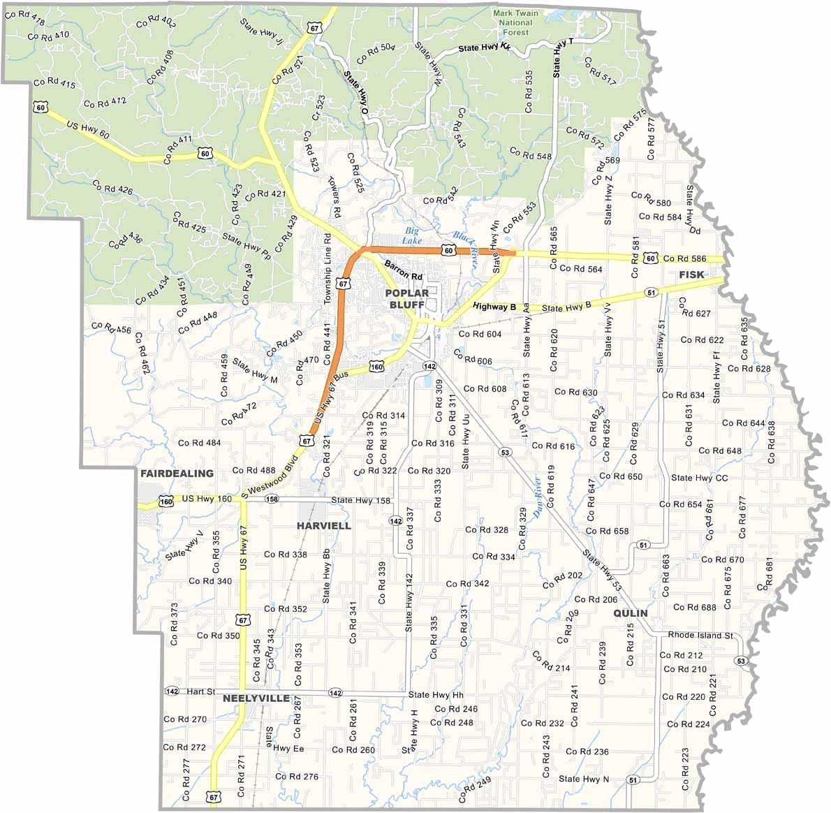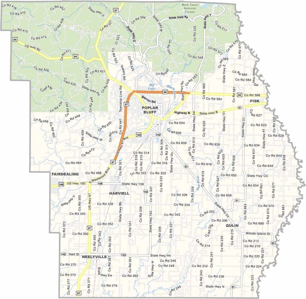
Butler County, Missouri

Butler County is located in Missouri’s Bootheel region, an area known for its flat terrain and fertile farmland. Agriculture remains a cornerstone of the local economy, supported by some of the richest soils in the state.

The Black River flows through the county, providing excellent opportunities for fishing, floating, and other outdoor activities. Nature enthusiasts also enjoy the nearby Mark Twain National Forest, which extends into the county’s northern region.

While manufacturing plays an important role in the local economy, farming continues to be a major industry. Butler County is known for its strong sense of community, where friendly faces can often be found in local diners, family-owned businesses, and neighborhood gatherings.
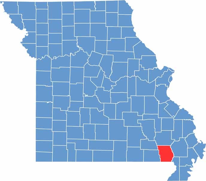

Butler County location map showing the county's position within Missouri.
Category Details
County Name Butler County
County Seat Poplar Bluff
Cities, Towns, and Communities Poplar Bluff, Qulin, Fisk, Neelyville, Broseley, Harviell, Rombauer, Fagus
Interstates and Highways US 60, US 67, MO 53, MO 142
Population Approximately 43,000
FIPS Code 29-023
Total Area (Land and Water) 699 square miles (Land: 695 sq mi, Water: 4 sq mi)
Time Zone Central Time Zone (CT)
State Missouri
Coordinates 36.7149° N, 90.4073° W
Etymology Named after William Orlando Butler, an American general and congressman
Major Landmarks Mark Twain National Forest, Lake Wappapello, Mo-Ark Regional Railroad Museum
Adjacent Counties (and Direction) Wayne County (North), Stoddard County (Northeast), Dunklin County (Southeast), Clay County, Arkansas (South), Ripley County (West), Carter County (Northwest)
Scroll to Top