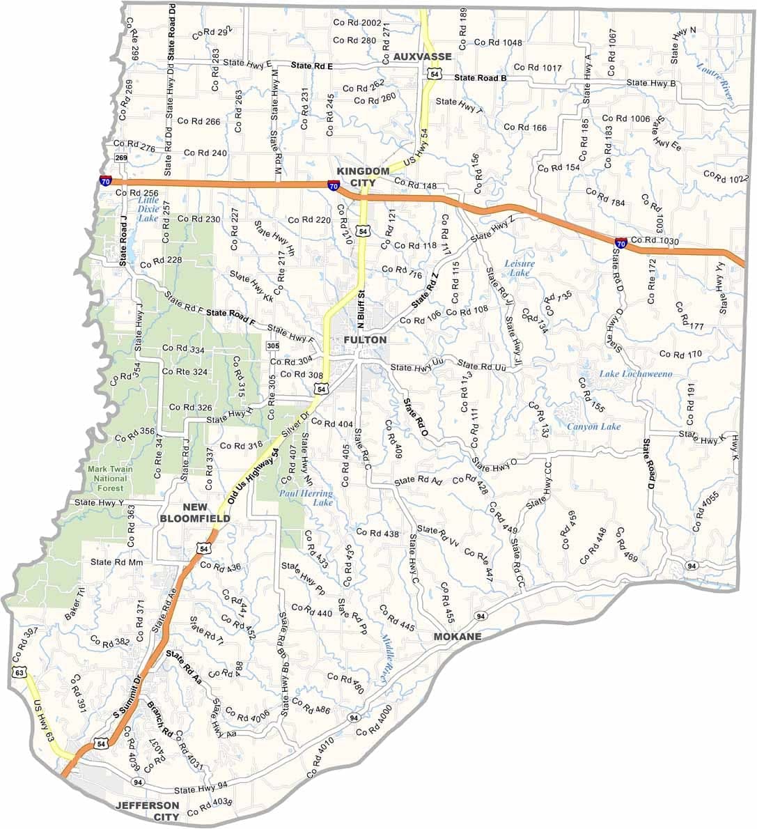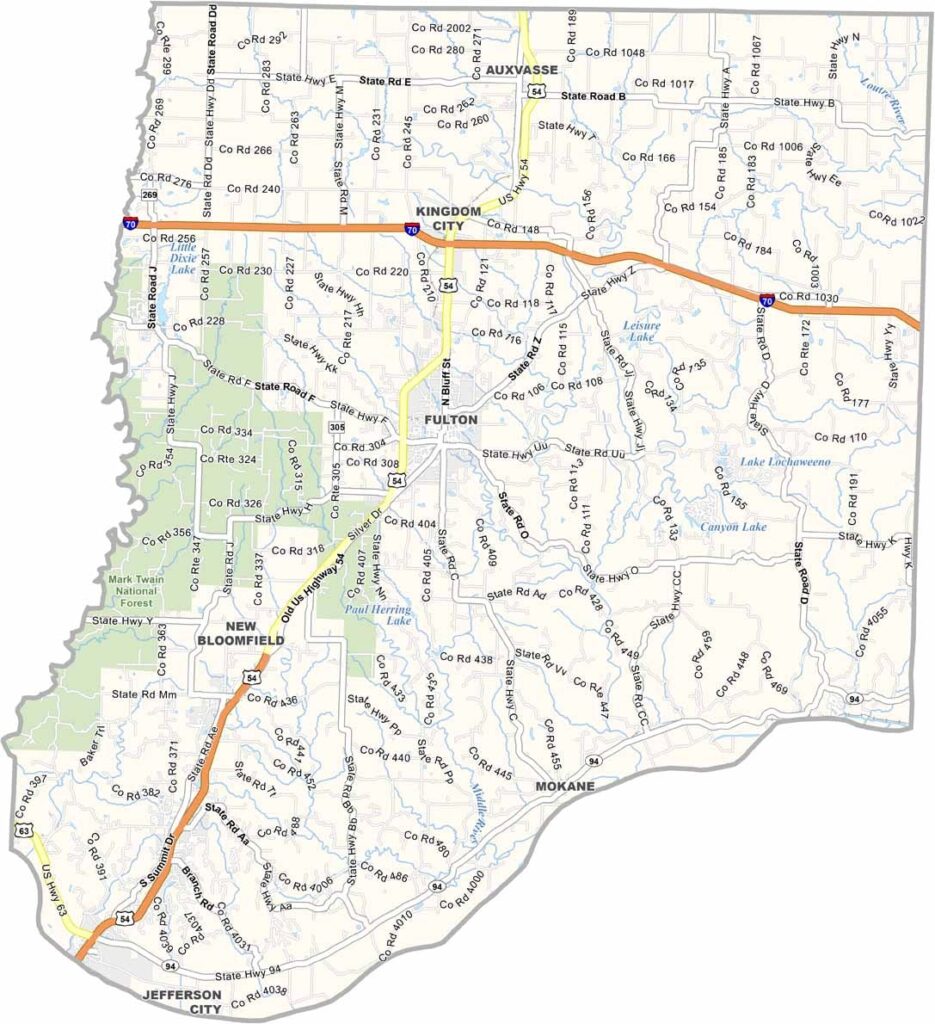
Callaway County, Missouri

Callaway County is located in the heart of Missouri, just across the Missouri River from Jefferson City. The county’s western boundary is formed in part by Cedar Creek, adding to the area's scenic landscape.

Residents take pride in the county’s unique “Kingdom of Callaway” nickname, which dates back to the American Civil War and the county’s effort to remain neutral during the conflict.

The largest city, Fulton, is home to Westminster College and the National Churchill Museum. It was here that Winston Churchill delivered his famous “Iron Curtain” speech in 1946.
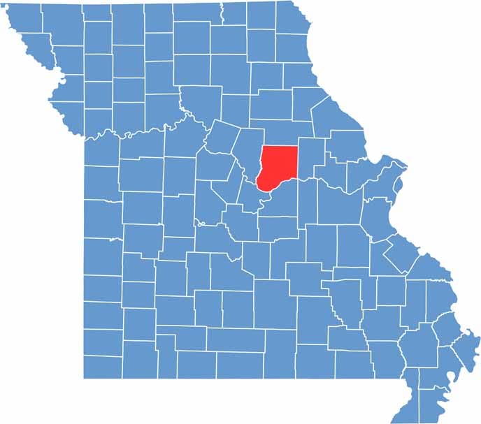

Callaway County location map showing the county's position within Missouri.
Category Details
County Name Callaway County
County Seat Fulton
Cities, Towns, and Communities Fulton, Auxvasse, Holts Summit, New Bloomfield, Mokane, Williamsburg
Interstates and Highways I-70, US 54, MO 94, MO 22
Population Approximately 46,000
FIPS Code 29-027
Total Area (Land and Water) 847 square miles (Land: 835 sq mi, Water: 12 sq mi)
Time Zone Central Time Zone (CT)
State Missouri
Coordinates 38.8581° N, 91.9465° W
Etymology Named after James Callaway, a frontiersman and soldier
Major Landmarks Westminster College (Churchill Museum), Auto World Museum, Katy Trail State Park
Adjacent Counties (and Direction) Audrain County (North), Montgomery County (East), Osage County (South), Cole County (Southwest), Boone County (West), Gasconade County (Southeast)
Scroll to Top