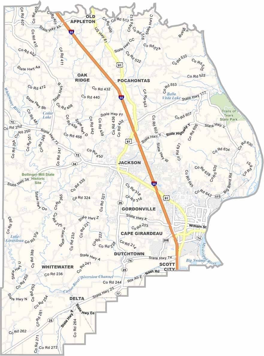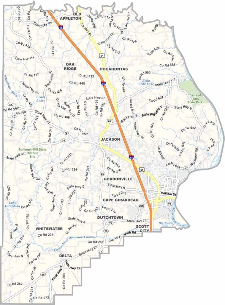
Cape Girardeau County, Missouri

Cape Girardeau County is located in southeastern Missouri, with the mighty Mississippi River forming its eastern boundary and separating it from Illinois. Home to roughly 83,000 residents, it is one of the more populous counties in the region.

Its largest city, Cape Girardeau, serves as a major center for healthcare, education, and commerce. The presence of Southeast Missouri State University adds a vibrant, youthful atmosphere and contributes significantly to the local economy and culture.

The county features a diverse landscape of rolling hills, fertile river bottomlands, and scenic waterways. Residents and visitors alike enjoy the spectacular fall foliage, as well as excellent fishing opportunities in the Mississippi River and nearby lakes.
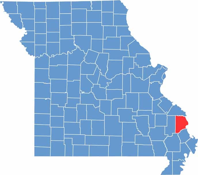

Cape Girardeau County location map showing the county's position within Missouri.
Category Details
County Name Cape Girardeau County
County Seat Jackson
Cities, Towns, and Communities Cape Girardeau, Jackson, Gordonville, Delta, Dutchtown, Allenville, Pocahontas
Interstates and Highways I-55, US 61, MO 25, MO 177
Population Approximately 83,000
FIPS Code 29-031
Total Area (Land and Water) 586 square miles (Land: 579 sq mi, Water: 7 sq mi)
Time Zone Central Time Zone (CT)
State Missouri
Coordinates 37.3795° N, 89.6769° W
Etymology Southeast Missouri State University, Trail of Tears State Park, Cape Girardeau Conservation Nature Center
Major Landmarks Worth County Courthouse, Grant City Square Historic District
Adjacent Counties (and Direction) Perry County (Northwest), Union County, Illinois (Northeast), Alexander County, Illinois (East), Scott County (Southeast), Stoddard County (South), Bollinger County (West)
Scroll to Top