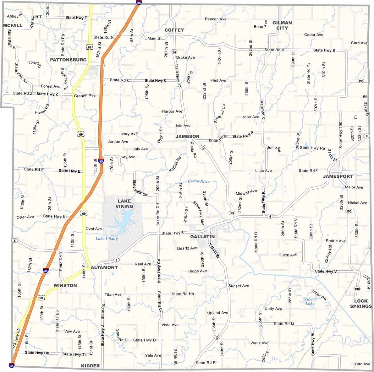
Daviess County, Missouri

Daviess County is located in northwest Missouri, roughly an hour northeast of Kansas City. It’s classic farm country, where rolling hills, vast cornfields, and grazing cattle shape the landscape.

The Grand River flows through the southern part of the county, providing a popular destination for fishing and floating during the warmer months.

The county seat, Gallatin, is home to about 1,800 residents. Amish communities contribute a distinctive cultural character to the region, and Jamesport is recognized as the largest Amish settlement west of the Mississippi River.
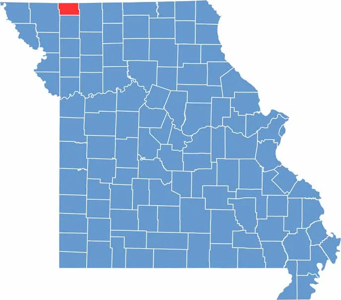

Printable Worth County Missouri location map showing county location and boundaries
Category Details
County Name Daviess County
County Seat Gallatin
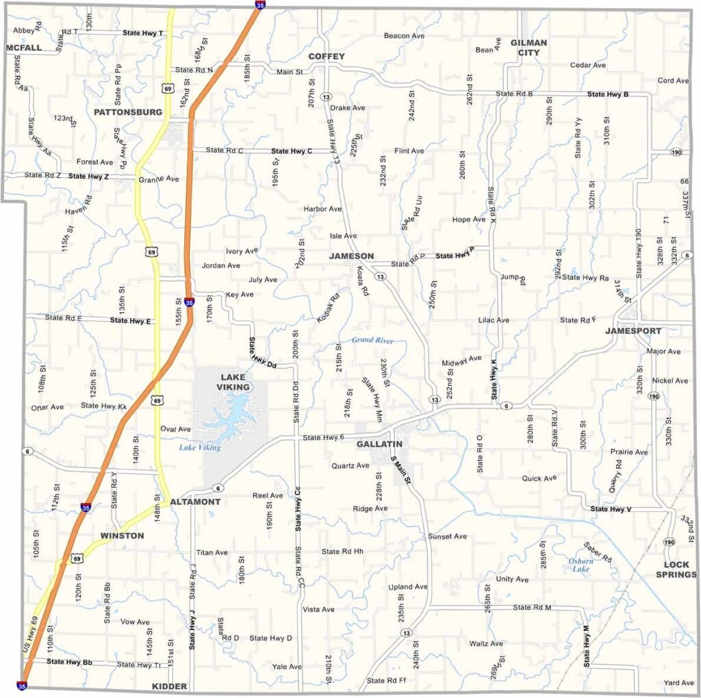
Cities, Towns, and Communities Gallatin, Pattonsburg, Jamesport, Coffey, Altamont, Winston, Jameson
Interstates and Highways I-35, US 69, MO 6, MO 13
Population Approximately 8,500
FIPS Code 29-061
Total Area (Land and Water) 569 square miles (Land: 563 sq mi, Water: 6 sq mi)
Time Zone Central Time Zone (CT)
State Missouri
Coordinates 39.9736° N, 94.0006° W
Etymology Named after Major Joseph Hamilton Daveiss, who was killed at the Battle of Tippecanoe
Major Landmarks Adam-ondi-Ahman Historic Site, Jamesport Amish Community, Dockery Park
Adjacent Counties (and Direction) Harrison County (North), Grundy County (Northeast), Livingston County (Southeast), Caldwell County (South), DeKalb County (West), Gentry County (Northwest)
Scroll to Top