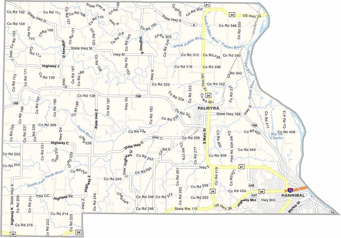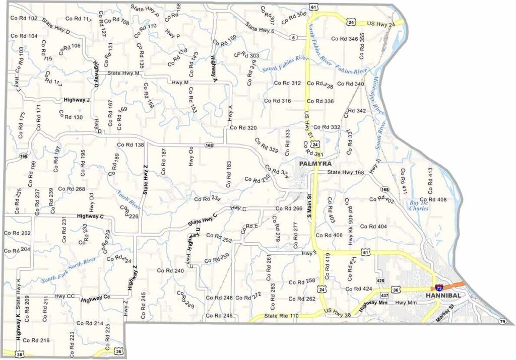
Marion County, Missouri

Marion County lies along the Mississippi River in northeast Missouri, with Illinois just across the water to the east. The county is best known as the home of Hannibal, where Mark Twain spent his boyhood years.

Limestone bluffs and rolling hills shape the landscape, while the Mississippi River continues to influence daily life. Barges travel the river, fishermen cast their lines, and agriculture remains a major part of the rural economy. Small manufacturing businesses also contribute to local communities.

History enthusiasts visit the area to explore Twain-related landmarks and beautiful antebellum homes. Residents are known for their friendliness, combining Midwestern hospitality with the character and resilience of a classic river town.
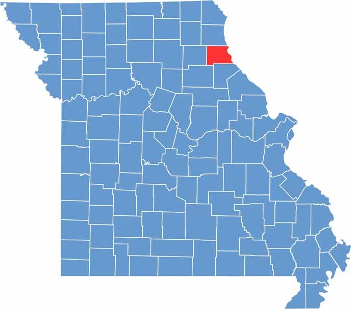

Maries County map showing county boundaries, towns, roads, and geographic features in Missouri.
Category Details
County Name Marion County
County Seat Palmyra
Cities, Towns, and Communities Hannibal, Palmyra, Monroe City, Philadelphia, West Quincy, Warren
Interstates and Highways I-72, US 24, US 61, MO 168
Population Approximately 28,000
FIPS Code 29-127
Total Area (Land and Water) 444 square miles (Land: 437 sq mi, Water: 7 sq mi)
Time Zone Central Time Zone (CT)
State Missouri
Coordinates 39.8380° N, 91.5502° W
Etymology Named after Francis Marion, a Revolutionary War hero
Major Landmarks Mark Twain Boyhood Home & Museum, Rockcliffe Mansion, Mark Twain Cave Complex
Adjacent Counties (and Direction) Lewis County (North), Adams County, Illinois (Northeast), Pike County, Illinois (Southeast), Ralls County (South), Monroe County (Southwest), Shelby County (West)
Scroll to Top