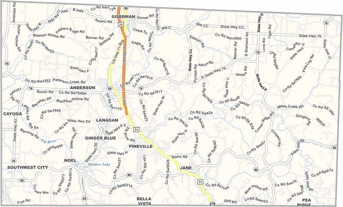
McDonald County, Missouri

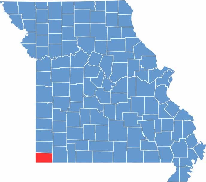
McDonald County is tucked into Missouri’s southwest corner, bordering both Arkansas and Oklahoma. It’s classic Ozark country, known for its hills, hollows, and crystal-clear streams.

The county has a fascinating history. During the Civil War, it was considered a “no man’s land,” but today it is best known for its scenic landscapes and outdoor recreation.

The Elk River is a popular destination for floating, fishing, and summer fun. One of the county’s towns, Noel, earns the nickname “Christmas City” each December, when its post office hand-stamps thousands of holiday cards sent from around the world.

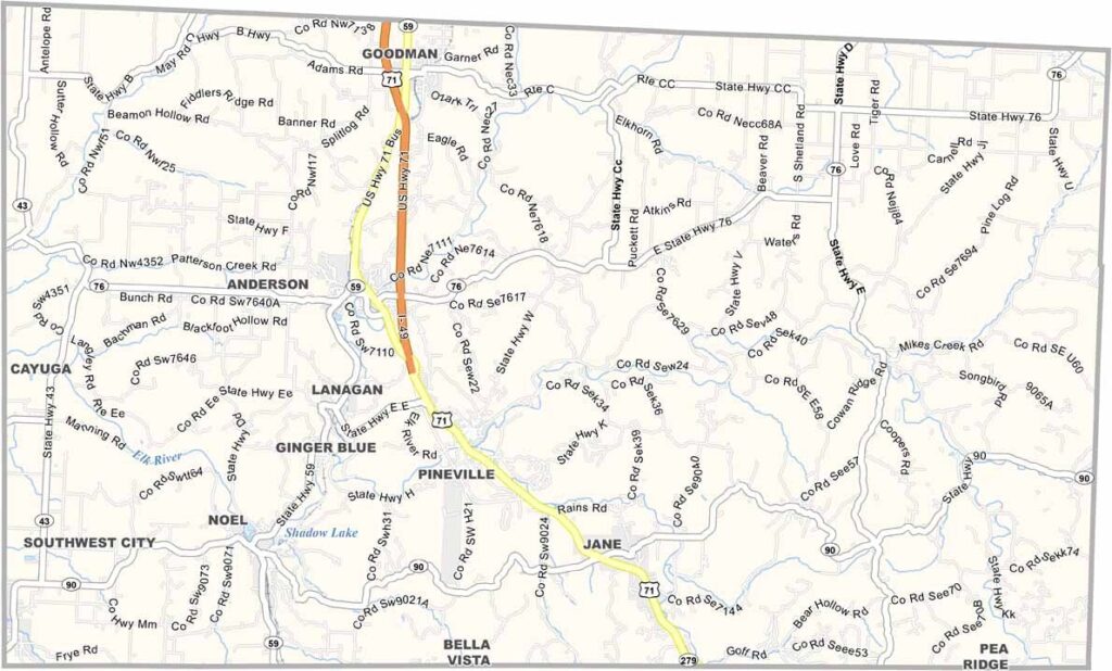
McDonald Location Map showing towns, roads, and geographic features in Missouri.
Category Details
County Name McDonald County
County Seat Pineville
Cities, Towns, and Communities Anderson, Pineville, Noel, Southwest City, Goodman, Lanagan, Rocky Comfort, Tiff City
Interstates and Highways I-49, US 71, MO 59, MO 76
Population Approximately 24,000
FIPS Code 29-119
Total Area (Land and Water) 540 square miles (Land: 539 sq mi, Water: 1 sq mi)
Time Zone Central Time Zone (CT)
State Missouri
Coordinates 36.6177° N, 94.3661° W
Etymology Named after Sergeant Alexander McDonald, a soldier in the Mexican-American War
Major Landmarks Elk River, Big Sugar Creek State Park, Bluff Dwellers Cave
Adjacent Counties (and Direction) Newton County (North), Barry County (East), Benton County, Arkansas (South), Delaware County, Oklahoma (West), Ottawa County, Oklahoma (Northwest)
Scroll to Top