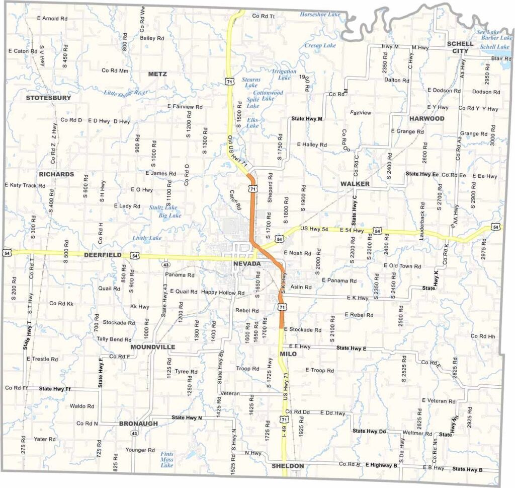
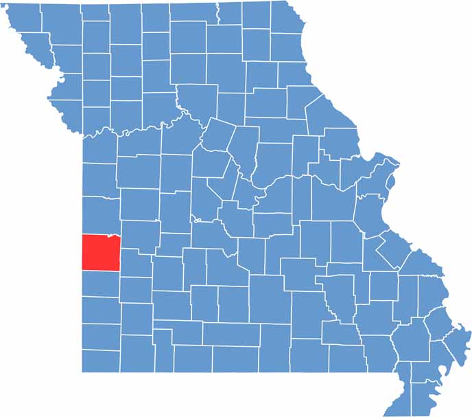
Located in western Missouri, Vernon County captures the charm of small-town America, where the open prairies of Kansas transition into the rolling landscapes of the Show-Me State. Its scenic countryside and rich history make it a fascinating destination for visitors and residents alike.
Located in western Missouri, Vernon County captures the charm of small-town America, where the open prairies of Kansas transition into the rolling landscapes of the Show-Me State. Its scenic countryside and rich history make it a fascinating destination for visitors and residents alike.
Outdoor enthusiasts are drawn to the Four Rivers Conservation Area, a popular destination for hunting, fishing, wildlife viewing, and other recreational activities. History buffs can explore the Bushwhacker Museum, which offers insight into the county’s complex and often turbulent experiences during the Civil War era.

Wright County Map Missouri

Worth County Map Missouri
Wayne County Map Missouri
Warren County Map Missouri
Washington County Map Missouri
