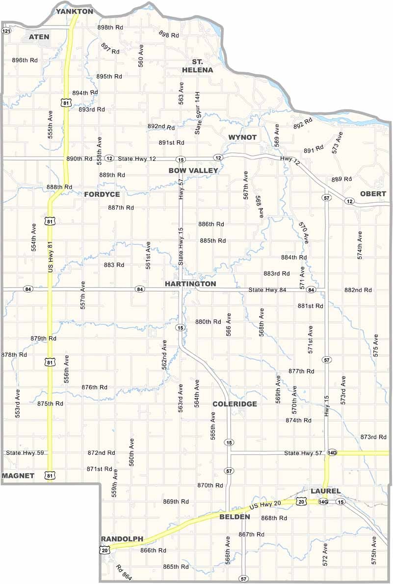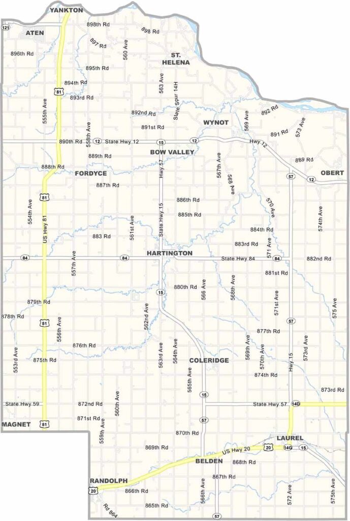
Cedar County Map, Nebraska

Cedar County, Nebraska

Cedar County is located in the northeastern corner of Nebraska, right along the Missouri River. The county takes its name from the cedar trees that once grew along the river bluffs.

The landscape combines rolling hills with fertile farmland. Agriculture is the main industry here, with corn, soybeans, and cattle being the big three.

Hartington serves as the county seat and is located near the center of the county. The area has a strong German and Czech heritage, reflected in local festivals and cuisine. Fishing and boating are also popular along the Missouri River to the north.
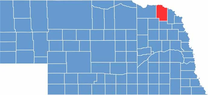

Cedar County location map of Nebraska
CategoryDetails
County NameCedar County
County SeatHartington
EtymologyNamed for the abundance of cedar trees in the area
Cities, Towns, and CommunitiesHartington, Laurel, Randolph, Coleridge, Fordyce, St. Helena, Wynot
Interstates and HighwaysUS 20, NE 12, NE 57
FIPS Code31-027
Total Area (Land and Water)746 square miles (Land: 740 sq mi, Water: 6 sq mi)
Adjacent Counties (and Direction)Clay County, South Dakota (Northeast), Dixon County (East), Wayne County (Southeast), Pierce County (Southwest), Knox County (West), Yankton County, South Dakota (Northwest)
Time ZoneCentral Time Zone (CT)
StateNebraska
Coordinates42.6101° N, 97.2645° W
Major LandmarksLewis and Clark Lake, Cedar County Historical Museum, Bow Valley Mill Historical Site
PopulationApproximately 8,200
Scroll to Top