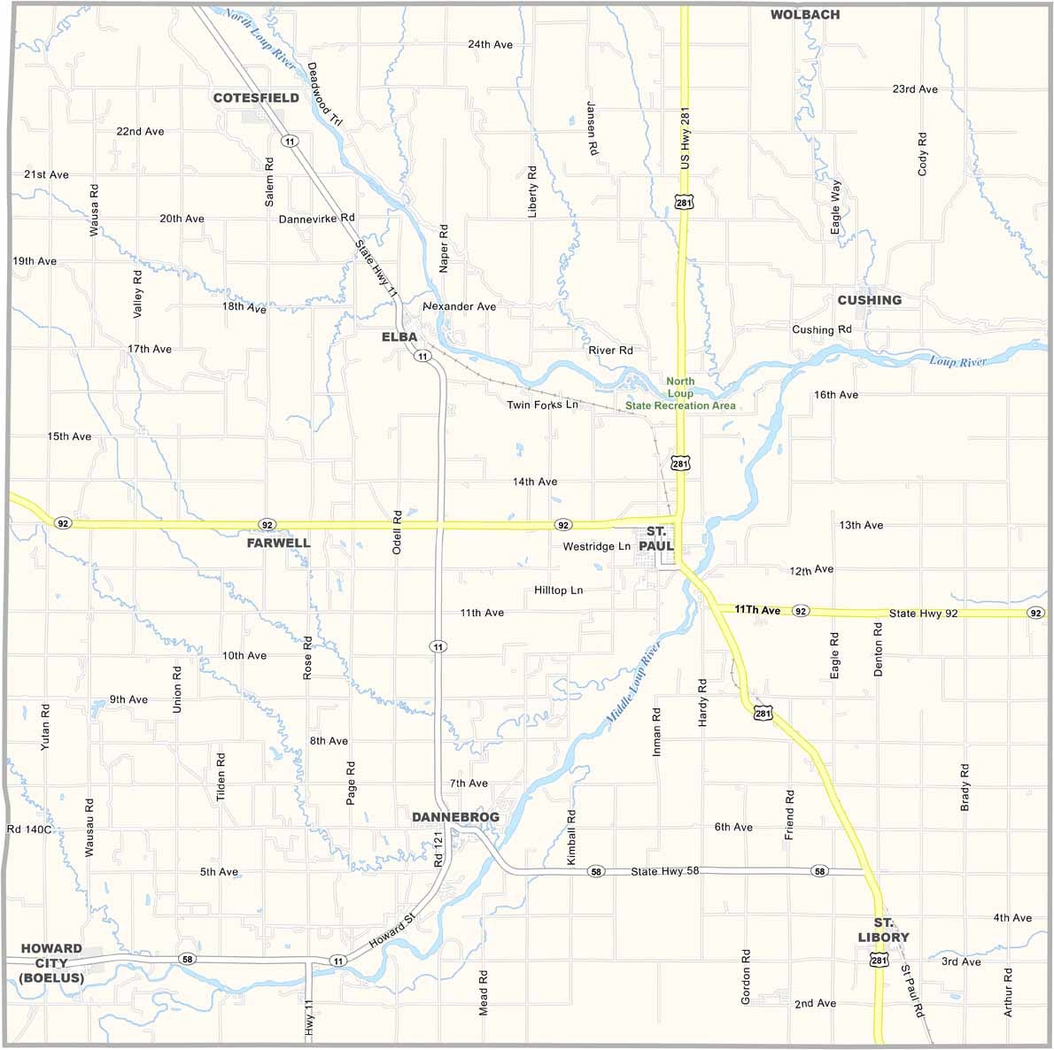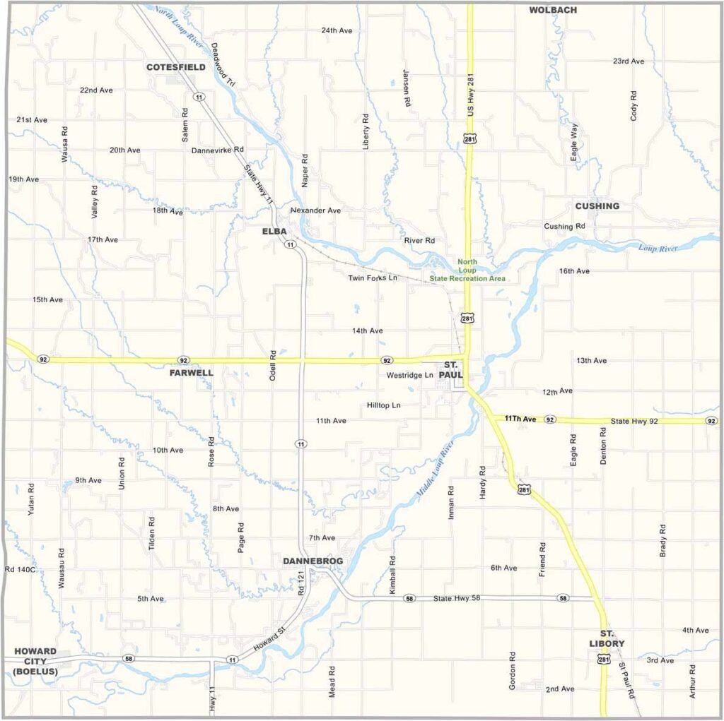
Howard County Map, Nebraska

Howard County, Nebraska

Howard County is located in the heart of Nebraska. St. Paul is the largest town, with a population of around 2,300 people. Farms dominate the landscape, with corn, soybeans, and other crops grown throughout the area.

The Loup River flows through the county, attracting kayakers and canoeists when the weather is nice. The county fair is also a major event, and pretty much everyone turns out.

There’s a strong sense of history here as well. Old buildings line the main streets, and residents take pride in preserving them. Life is quiet, but that’s exactly how the locals like it.
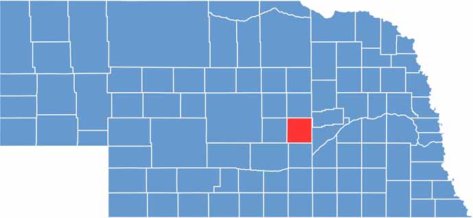

Howard County location map of Nebraska
CategoryDetails
County NameHoward County
County SeatSt. Paul
EtymologyNamed after Civil War General Oliver O. Howard
Cities, Towns, and CommunitiesSt. Paul, Dannebrog, Cotesfield, Elba, Farwell, St. Libory
Interstates and HighwaysNE 11, NE 22, NE 92
FIPS Code31-093
Total Area (Land and Water)576 square miles (Land: 569 sq mi, Water: 7 sq mi)
Adjacent Counties (and Direction)Merrick County (East), Hall County (South), Buffalo County (Southwest), Sherman County (West), Greeley County (North)
Time ZoneCentral Time Zone (CT)
StateNebraska
Coordinates41.2176° N, 98.5123° W
Major LandmarksHoward County Historical Village & Museum, St. Paul City Park, Loup River
PopulationApproximately 6,300
Scroll to Top