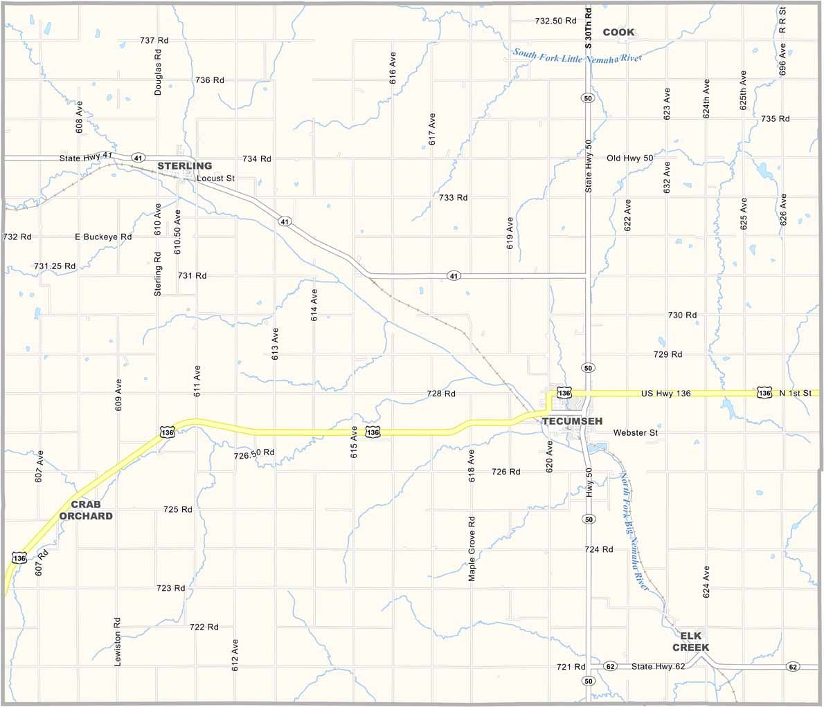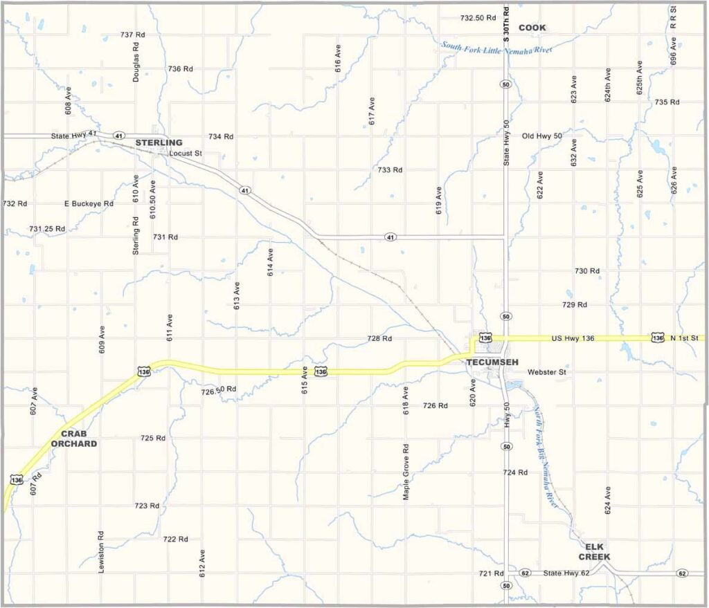
Johnson County Map, Nebraska

Johnson County, Nebraska

Johnson County is tucked away in the southeastern corner of Nebraska. Tecumseh serves as the county seat and was named after a famous Shawnee chief.

The Nemaha River winds through the county. In some places, it’s little more than a creek, but it remains important to local farmers. Agriculture is the main driver of the economy, with corn and soybeans making up most of the crops.

History runs deep here, from old buildings to family farms that have been passed down through generations. The population has been declining for years, with many young people leaving for larger cities. But those who stay have a strong loyalty to their home. Community means everything here.
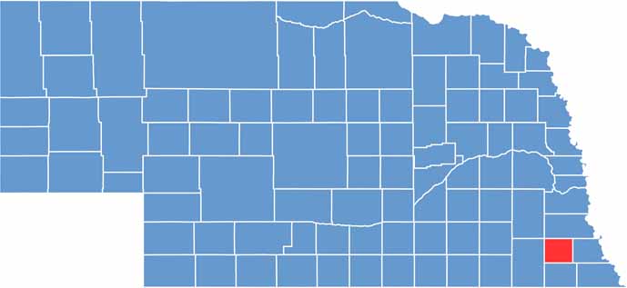

Johnson County location map of Nebraska
CategoryDetails
County NameJohnson County
County SeatTecumseh
EtymologyNamed after Richard Mentor Johnson, the 9th Vice President of the United States
Cities, Towns, and CommunitiesTecumseh, Sterling, Cook, Crab Orchard, Elk Creek, Vesta
Interstates and HighwaysUS 136, NE 50, NE 41
FIPS Code31-097
Total Area (Land and Water)377 square miles (Land: 376 sq mi, Water: 1 sq mi)
Adjacent Counties (and Direction)Otoe County (North), Nemaha County (East), Pawnee County (South), Gage County (West), Lancaster County (Northwest)
Time ZoneCentral Time Zone (CT)
StateNebraska
Coordinates40.3747° N, 96.1901° W
Major LandmarksJohnson County Courthouse, Tecumseh City Park, Arbor Lodge State Historical Park (nearby)
PopulationApproximately 5,200
Scroll to Top