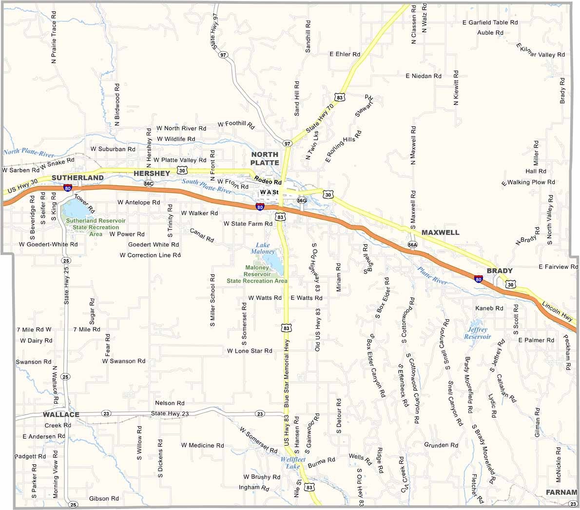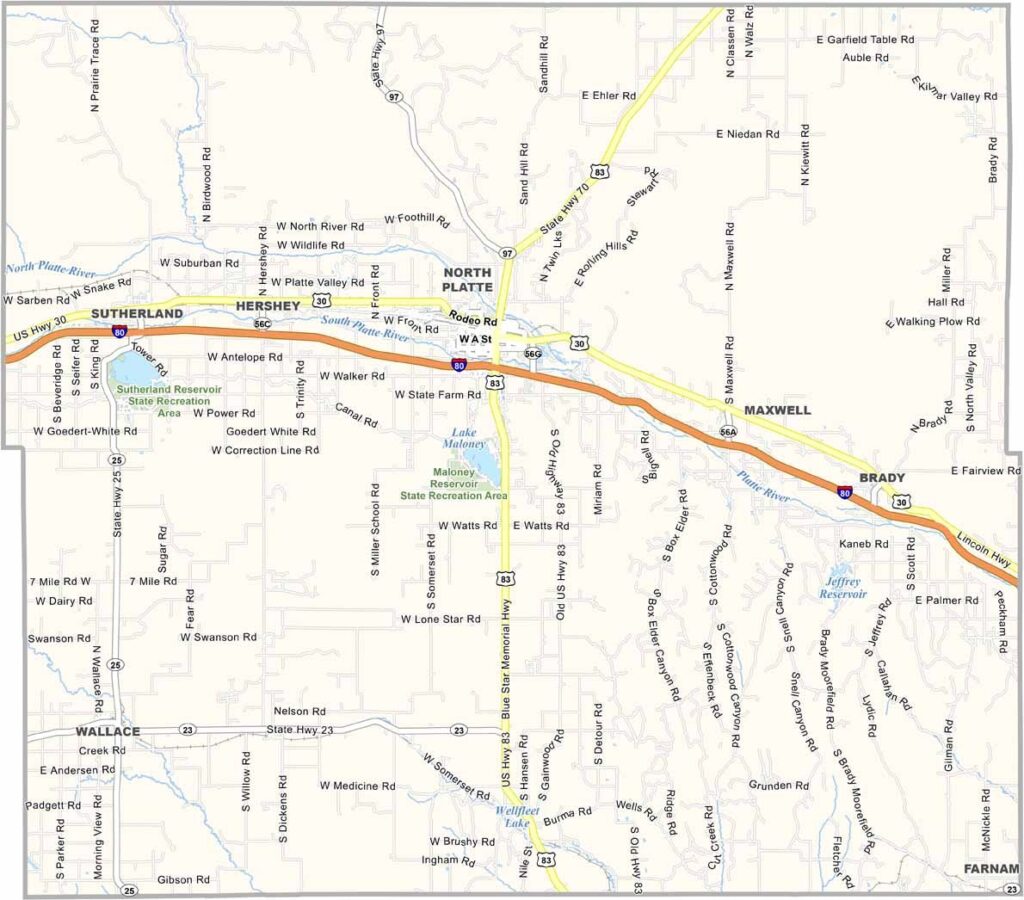
Lincoln County Map, Nebraska

Lincoln County, Nebraska

Lincoln County stretches across west-central Nebraska. North Platte serves as the county seat and is known for its massive rail yard. It’s quite a sight, with trains moving in every direction.

The county features a mix of farmland and ranches, with corn and cattle making up much of the local agriculture. Buffalo Bill Cody also called this area home for a time. His ranch is now a state historical park, making it a worthwhile stop for anyone interested in history.

The North and South Platte rivers meet here, creating some beautiful scenery. Fishing is also popular for those who enjoy spending time on the water. Lincoln County offers a mix of history, outdoor recreation, and welcoming communities.
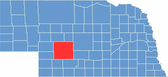

Lincoln County location map of Nebraska
CategoryDetails
County NameLincoln County
County SeatNorth Platte
EtymologyNamed after Abraham Lincoln, the 16th President of the United States
Cities, Towns, and CommunitiesNorth Platte, Hershey, Sutherland, Maxwell, Brady, Wallace, Wellfleet
Interstates and HighwaysI-80, US 30, US 83, NE 97, NE 25
FIPS Code31-111
Total Area (Land and Water)2,575 square miles (Land: 2,564 sq mi, Water: 11 sq mi)
Adjacent Counties (and Direction)McPherson County (Northwest), Logan County (Northeast), Custer County (East), Dawson County (East), Frontier County (Southeast), Hayes County (Southwest), Perkins County (West), Keith County (West)
Time ZoneCentral Time Zone (CT) in the east, Mountain Time Zone (MT) in the west
StateNebraska
Coordinates41.0684° N, 100.5690° W
Major LandmarksBuffalo Bill Ranch State Historical Park, Golden Spike Tower, Cody Park Railroad Museum
PopulationApproximately 34,000
Scroll to Top