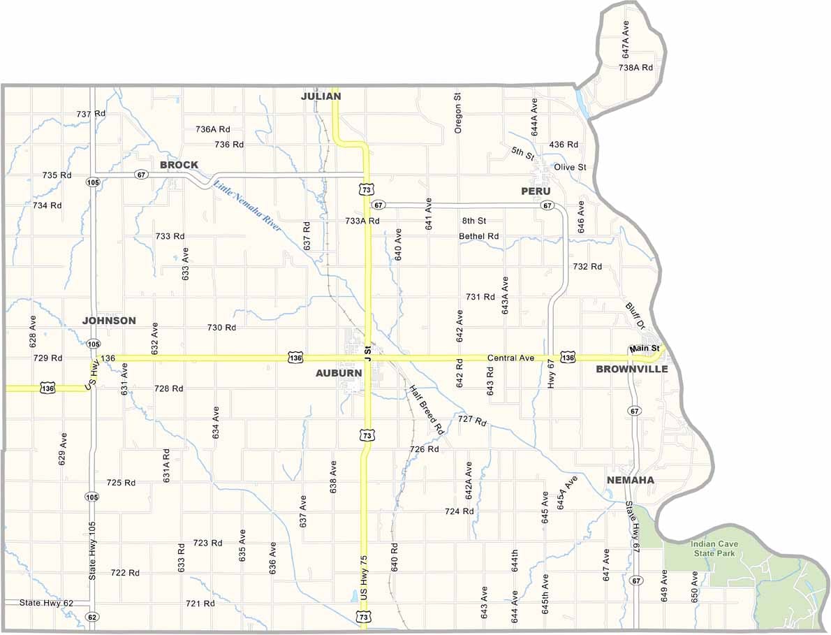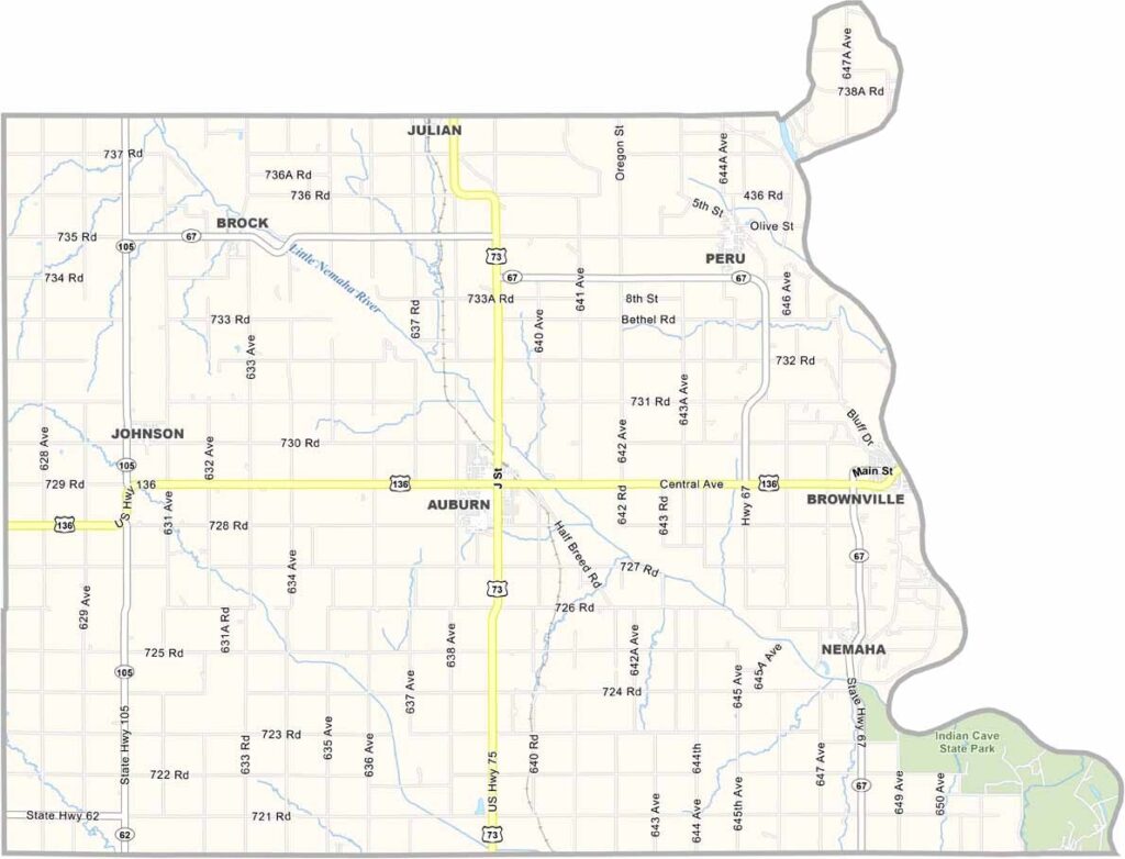
Nemaha County Map, Nebraska

Nemaha County, Nebraska

Nemaha County is located in southeastern Nebraska. The county features a mix of farmland and forests, giving it a landscape that’s different from what many people picture when they think of Nebraska.

Farming remains the main industry, although manufacturing also contributes to the local economy. Residents take pride in their history, and the Missouri River forms the county’s eastern border along the state of Missouri.

Auburn serves as the county seat. It’s a small town with plenty of character. The county was established before Nebraska became a state. Peru State College is also located here, bringing some youthful energy to the area.
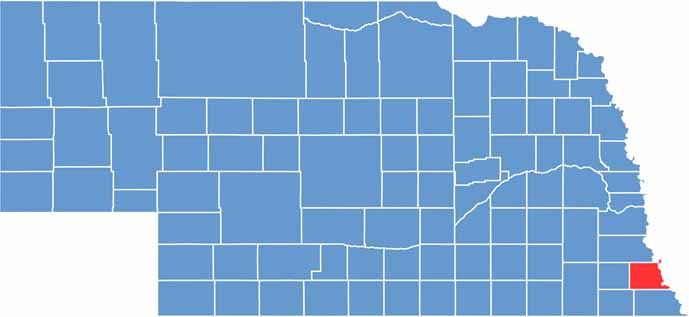

Nemaha County location map of Nebraska
CategoryDetails
County NameNemaha County
County SeatAuburn
EtymologyNamed after the Nemaha River, which flows through the county
Cities, Towns, and CommunitiesAuburn, Peru, Brownville, Brock, Johnson, Nemaha, Julian
Interstates and HighwaysUS 75, US 136, NE 67
FIPS Code31-127
Total Area (Land and Water)412 square miles (Land: 408 sq mi, Water: 4 sq mi)
Adjacent Counties (and Direction)Otoe County (North), Atchison County, Missouri (East), Holt County, Missouri (Southeast), Richardson County (South), Pawnee County (Southwest), Johnson County (West)
Time ZoneCentral Time Zone (CT)
StateNebraska
Coordinates40.3953° N, 95.8515° W
Major LandmarksIndian Cave State Park, Arbor Lodge State Historical Park, Brownville Historical District
PopulationApproximately 6,900
Scroll to Top