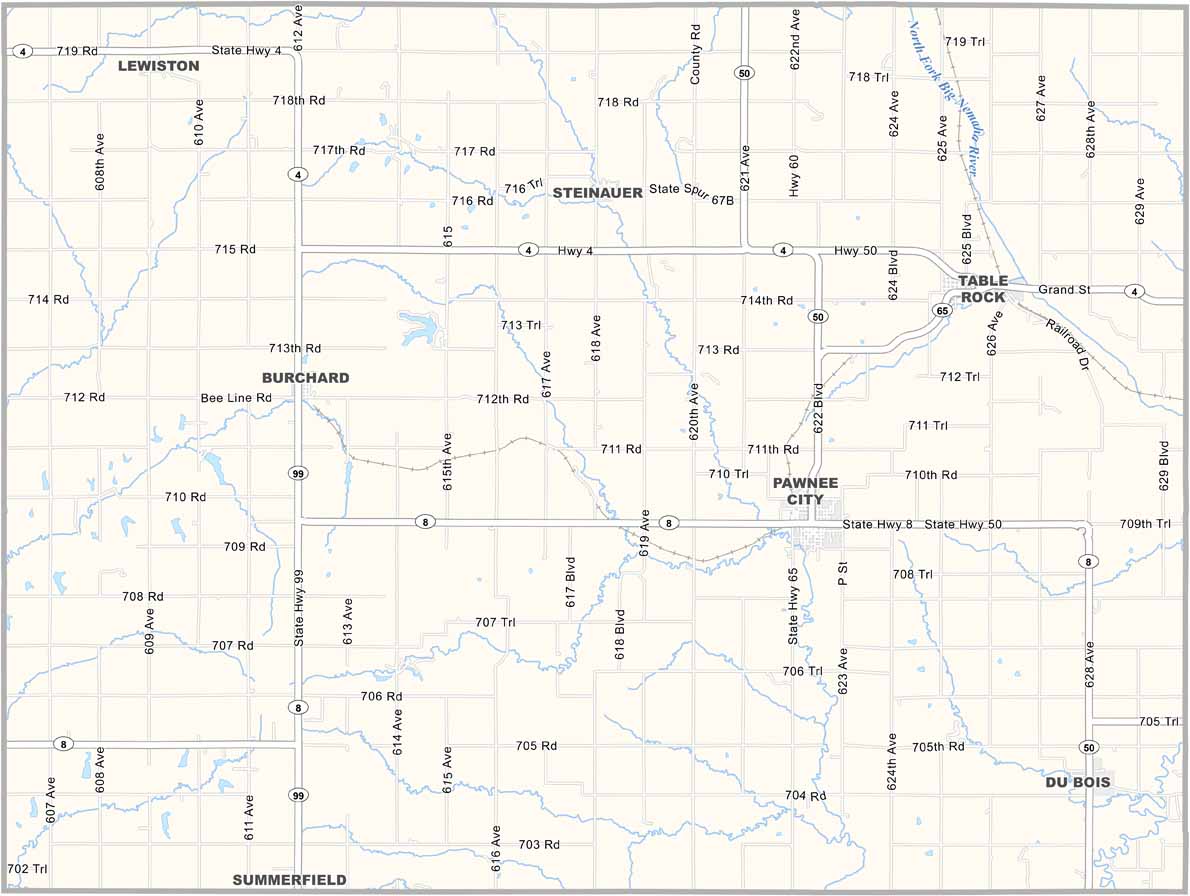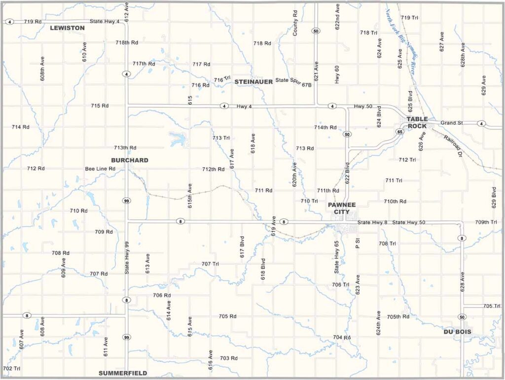
Pawnee County Map, Nebraska

Pawnee County, Nebraska

Pawnee County is located in the southeastern corner of Nebraska along the Kansas border. It’s not a large county, and Pawnee City serves as the county seat with a population of around 900 people.

The Big Nemaha River runs through the county. Like much of Nebraska, farming is the main way of life, with the usual crops grown throughout the area.

The county has a rich history and was once part of Pawnee Indian territory. Today, it’s a quiet farming area where the annual county fair brings the community together.
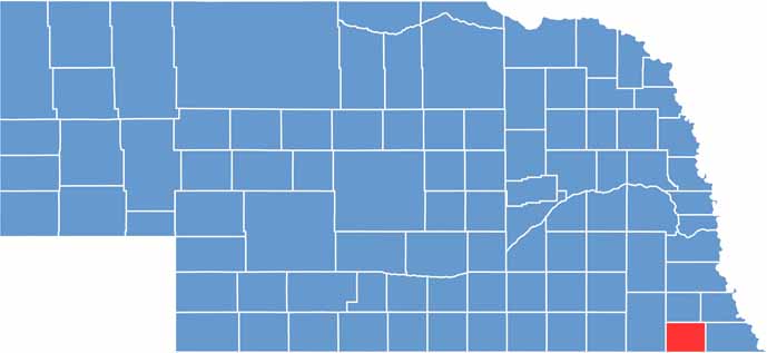

Pawnee County location map of Nebraska
CategoryDetails
County NamePawnee County
County SeatPawnee City
EtymologyNamed after the Pawnee Native American tribe
Cities, Towns, and CommunitiesPawnee City, Table Rock, Du Bois, Steinauer, Burchard
Interstates and HighwaysUS 75, NE 4, NE 50
FIPS Code31-133
Total Area (Land and Water)433 square miles (Land: 431 sq mi, Water: 2 sq mi)
Adjacent Counties (and Direction)Richardson County (East), Nemaha County, Kansas (Southeast), Marshall County, Kansas (Southwest), Gage County (West), Johnson County (North), Nemaha County (Northeast)
Time ZoneCentral Time Zone (CT)
StateNebraska
Coordinates40.1083° N, 96.2403° W
Major LandmarksTable Rock State Historical Park, Pawnee County Historical Society Museum
PopulationApproximately 2,600
Scroll to Top