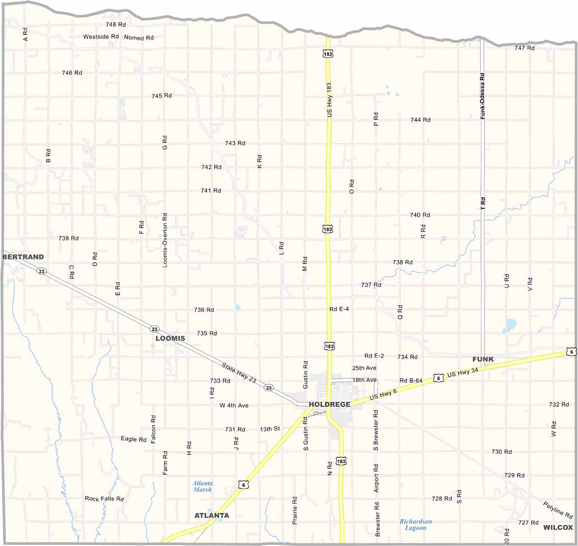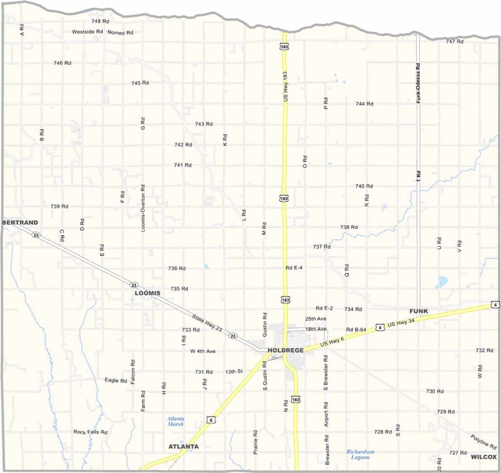
Phelps County Map, Nebraska

Phelps County, Nebraska

Phelps County sits in the heart of south-central Nebraska. Holdrege is the largest town and serves as the county seat. The town is known as the “Swedish Capital of Nebraska.” No kidding.

The county is mostly flat, making it ideal for farming. Corn, soybeans, and other crops are grown throughout the area. Some industry is also present, helping keep the local economy diverse.

The Platte River forms the northern boundary, creating pleasant spots for recreation. People here are friendly in that classic Midwestern way, and they’ll likely give you a wave as you drive by.
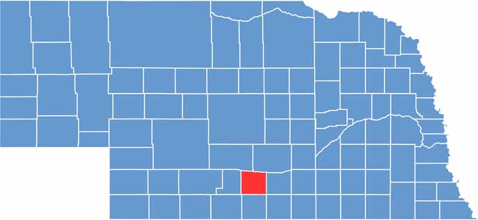

Phelps County location map of Nebraska
CategoryDetails
County NamePhelps County
County SeatHoldrege
EtymologyNamed after William Phelps, an early settler
Cities, Towns, and CommunitiesHoldrege, Loomis, Bertrand, Funk, Atlanta, Sacramento, Williamsburg
Interstates and HighwaysUS 6, NE 23
FIPS Code31-137
Total Area (Land and Water)540 square miles (Land: 540 sq mi, Water: 0.1 sq mi)
Adjacent Counties (and Direction)Kearney County (East), Franklin County (Southeast), Harlan County (South), Furnas County (Southwest), Gosper County (West), Dawson County (Northwest), Buffalo County (Northeast)
Time ZoneCentral Time Zone (CT)
StateNebraska
Coordinates40.5234° N, 99.4165° W
Major LandmarksNebraska Prairie Museum, Crystal Lake State Recreation Area
PopulationApproximately 9,000
Scroll to Top