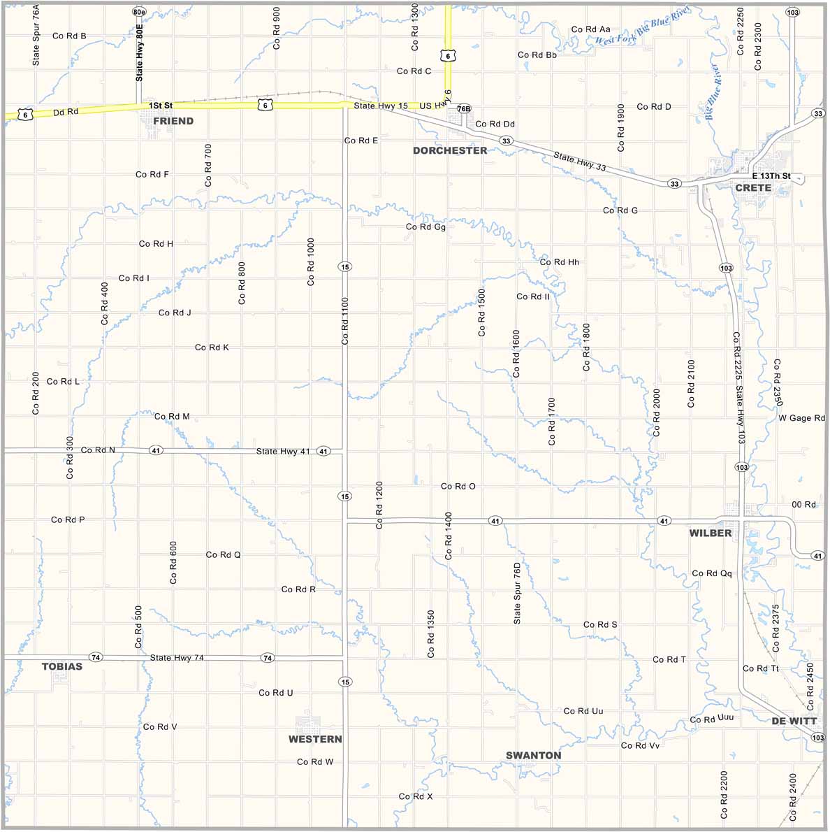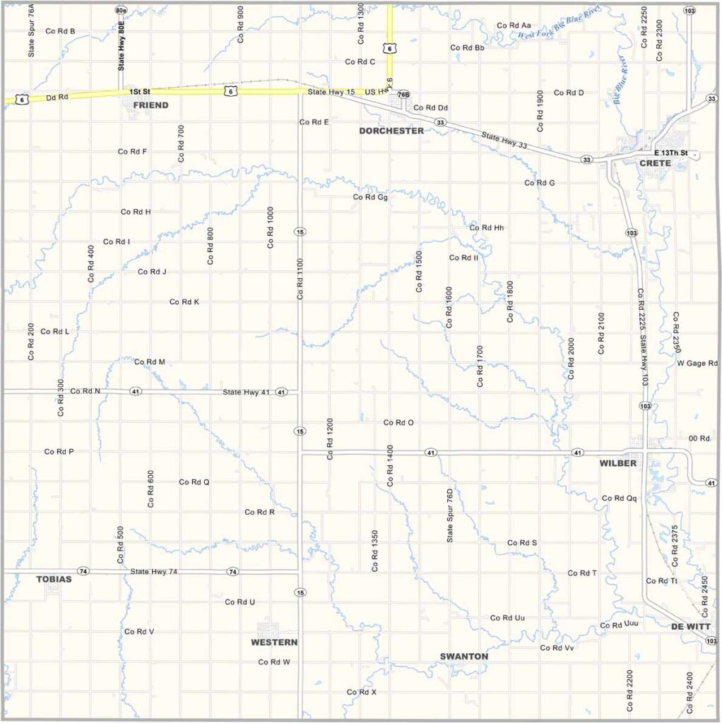
Saline County Map, Nebraska

Saline County, Nebraska

Saline County is located in southeastern Nebraska. Wilber serves as the county seat and is known as the “Czech Capital of the USA.” No kidding. The town hosts a large Czech festival every year that attracts visitors from all over.

The county is mostly farmland with some industry mixed in, helping create a diverse local economy. The Big Blue River also flows through the area, adding some beautiful scenery.

Residents take pride in their Czech heritage. You’ll see Czech flags flying alongside American flags throughout the area. Saline County is known as a friendly place, and hiking trails around the Blue River provide opportunities for outdoor adventure.
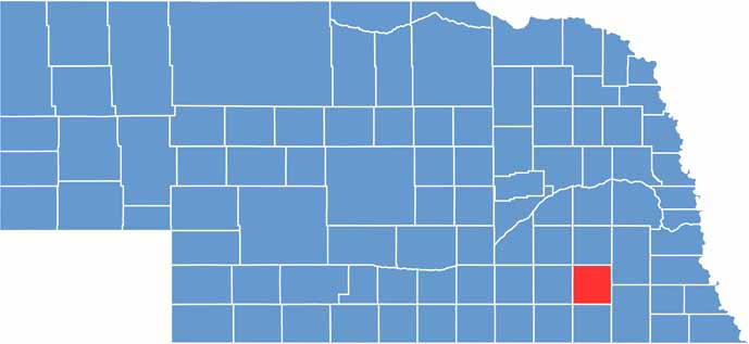

Saline County location map of Nebraska
CategoryDetails
County NameSaline County
County SeatWilber
EtymologyNamed after the saline (salt) springs found in the area
Cities, Towns, and CommunitiesWilber, Crete, DeWitt, Dorchester, Friend, Swanton
Interstates and HighwaysNE 15, NE 33, NE 103
FIPS Code31-151
Total Area (Land and Water)576 square miles (Land: 574 sq mi, Water: 2 sq mi)
Adjacent Counties (and Direction)Lancaster County (Northeast), Gage County (Southeast), Jefferson County (South), Thayer County (Southwest), Fillmore County (West), York County (Northwest), Seward County (North)
Time ZoneCentral Time Zone (CT)
StateNebraska
Coordinates40.5241° N, 96.9624° W
Major LandmarksSaline County Historical Museum, Czech Days Festival, Doane University
PopulationApproximately 14,000
Scroll to Top