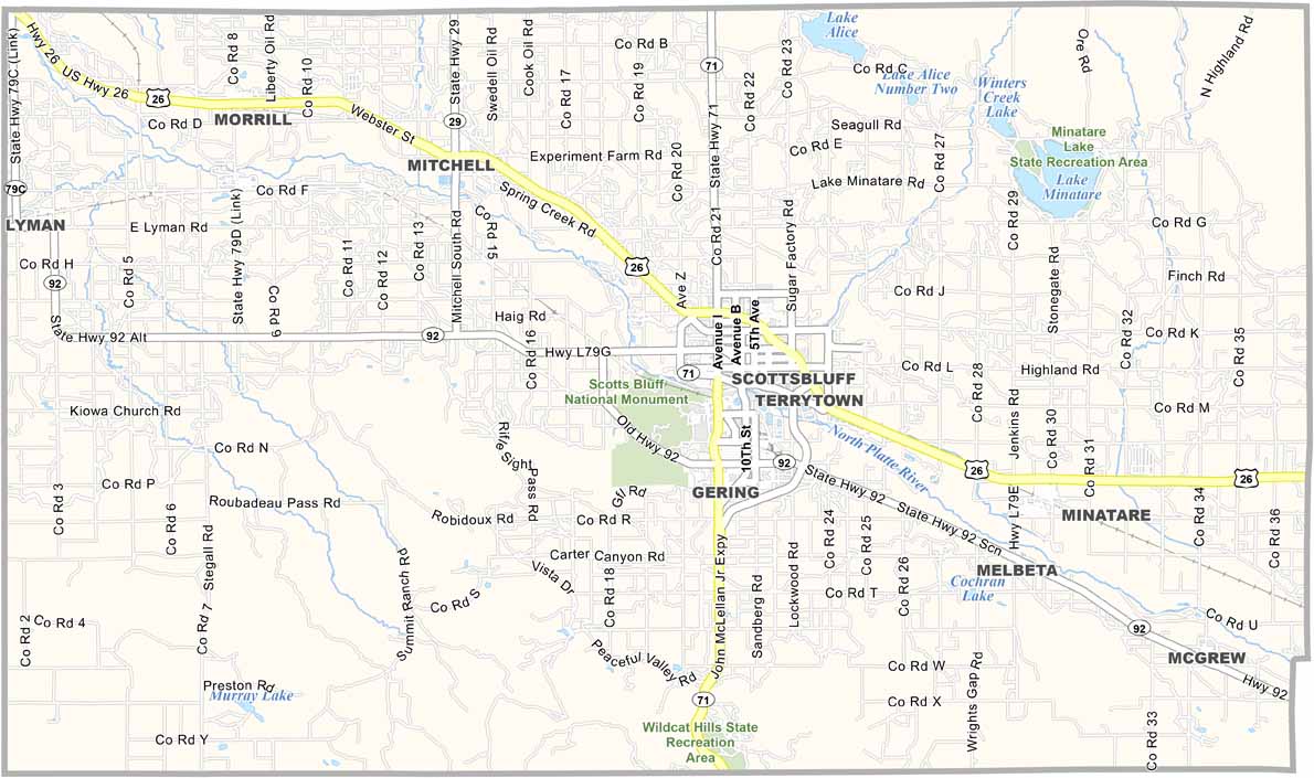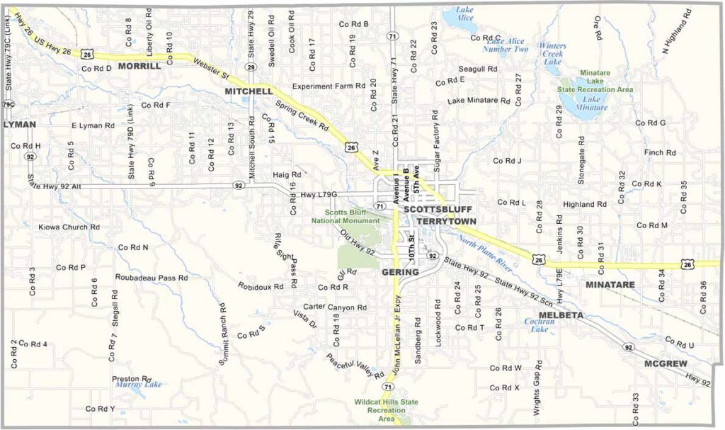
Scotts Bluff County Map, Nebraska

Scotts Bluff County, Nebraska

Scotts Bluff County is located in the Nebraska Panhandle along the Wyoming border. Gering serves as the county seat, while Scottsbluff is the largest town. The two communities sit right next to each other and feel almost like one city.

The North Platte River flows through the county, creating a green valley amid the surrounding high plains. Scotts Bluff National Monument is the area’s major attraction and can be seen from miles away.

The Oregon Trail also passed through the area, and wagon ruts can still be seen today. Residents take pride in their history, with museums and reenactments helping preserve the past. Scotts Bluff County also offers natural scenery that is truly unique to Nebraska’s Panhandle.
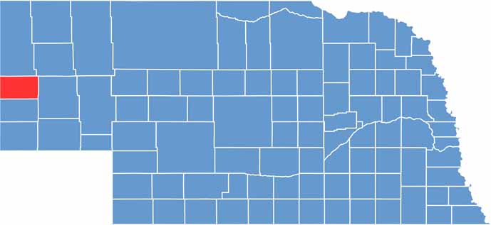

Scotts Bluff County location map of Nebraska
CategoryDetails
County NameScotts Bluff County
County SeatGering
EtymologyNamed after a prominent bluff along the North Platte River, itself named after fur trader Hiram Scott
Cities, Towns, and CommunitiesScottsbluff, Gering, Mitchell, Morrill, Terrytown, Minatare, Melbeta, McGrew
Interstates and HighwaysUS 26, US 71, NE 92
FIPS Code31-157
Total Area (Land and Water)746 square miles (Land: 739 sq mi, Water: 7 sq mi)
Adjacent Counties (and Direction)Sioux County (North), Box Butte County (Northeast), Morrill County (East), Banner County (South), Goshen County, Wyoming (West)
Time ZoneMountain Time Zone (MT)
StateNebraska
Coordinates41.8569° N, 103.7075° W
Major LandmarksScotts Bluff National Monument, Legacy of the Plains Museum, Riverside Discovery Center
PopulationApproximately 35,000
Scroll to Top