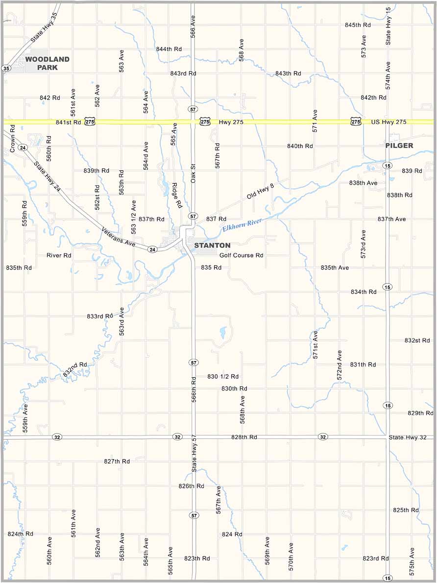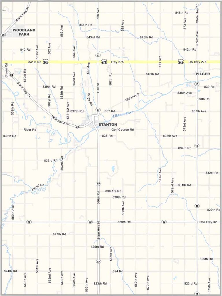
Stanton County Map, Nebraska

Stanton County, Nebraska

Stanton County is located in northeastern Nebraska. Stanton is the county seat and the main community in the area. Farming is the primary way of life, with corn, soybeans, and cattle making up much of the local agriculture.

The Elkhorn River flows through the county and passes directly through Stanton. The scenic river adds to the area’s natural beauty while providing opportunities for fishing and enjoying trails along its banks.

People here are friendly in that classic Midwestern way. They’ll wave as you drive by, and neighbors still look out for one another. There may not be much excitement, but for some, that quiet pace is exactly what makes the area appealing.
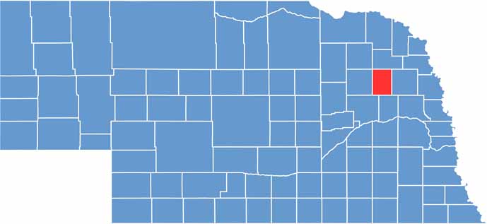

Stanton County location map of Nebraska
CategoryDetails
County NameStanton County
County SeatStanton
EtymologyNamed after Edwin M. Stanton, U.S. Secretary of War
Cities, Towns, and CommunitiesStanton, Pilger
Interstates and HighwaysU.S. Highway 275, Nebraska Highway 15
FIPS Code31-167
Total Area (Land and Water)431 square miles (428 sq mi land, 3 sq mi water)
Adjacent Counties (and Direction)Cuming County (East), Colfax County (South), Platte County (Southwest), Madison County (West), Pierce County (Northwest), Wayne County (North)
Time ZoneCentral Time Zone (CT)
StateNebraska
Coordinates41.9463° N, 97.1936° W
Major LandmarksWillow Creek State Recreation Area, Maskenthine Reservoir
PopulationApproximately 6,500
Scroll to Top