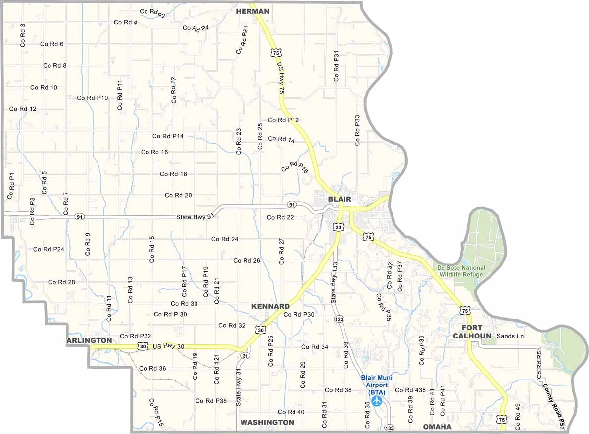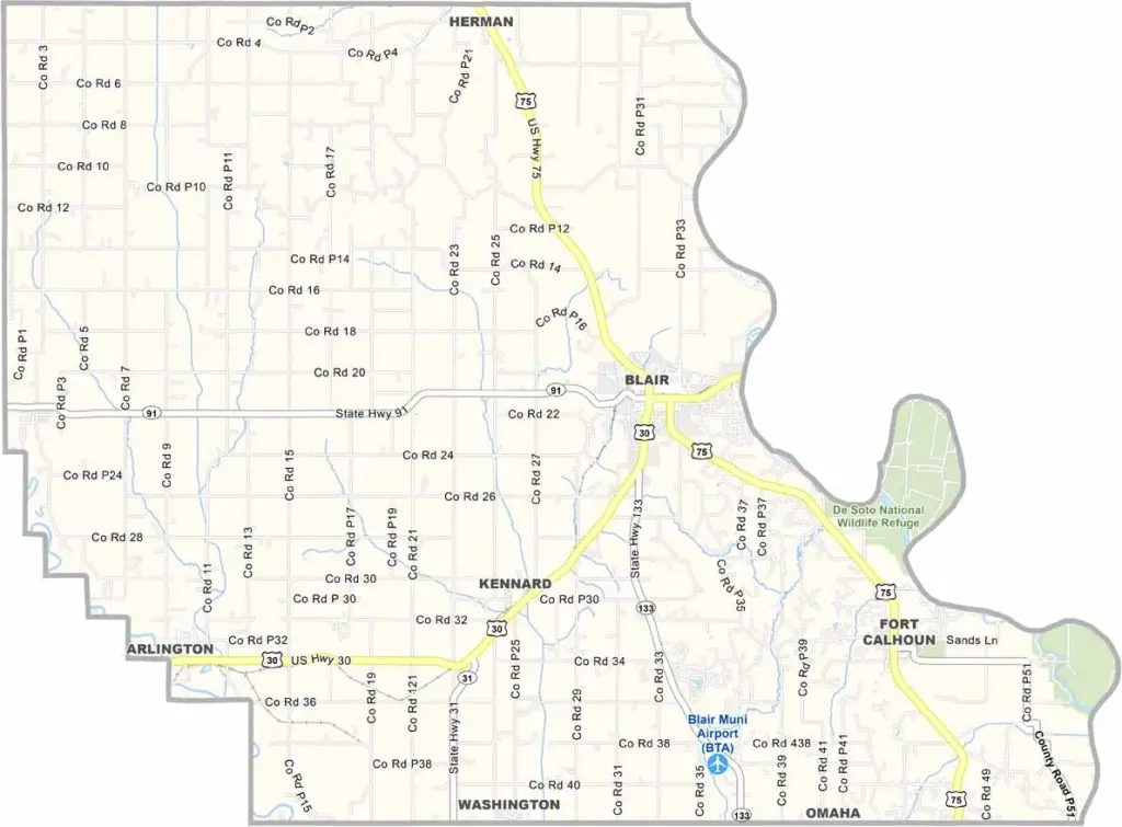
Washington County Map, Nebraska

Washington County, Nebraska

Washington County is located in eastern Nebraska, just north of Omaha. It borders Iowa to the east, while Blair serves as the county seat. The area has a small-town feel while still offering some of the perks of nearby city life.

Dana College was once located here, but it closed down years ago, and its loss is still a sore subject for some locals. The county combines farmland with bedroom communities, and many residents commute to Omaha for work.

The Missouri River forms the eastern border, creating opportunities for recreation along the water. Fort Atkinson State Historical Park is also located here and preserves the site of the first U.S. military post west of the Missouri River. It’s an interesting stop for anyone interested in history.
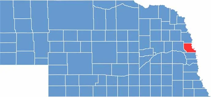

Washington County location map of Nebraska
CategoryDetails
County NameWashington County
County SeatBlair
EtymologyNamed after George Washington, the first President of the United States
Cities, Towns, and CommunitiesBlair, Arlington, Fort Calhoun, Herman
Interstates and HighwaysU.S. Highway 30, U.S. Highway 75, Nebraska Highway 91
FIPS Code31-177
Total Area (Land and Water)393 square miles (390 sq mi land, 3 sq mi water)
Adjacent Counties (and Direction)Burt County (North), Harrison County, Iowa (Northeast), Pottawattamie County, Iowa (Southeast), Douglas County (South), Dodge County (West)
Time ZoneCentral Time Zone (CT)
StateNebraska
Coordinates41.5544° N, 96.1951° W
Major LandmarksDeSoto National Wildlife Refuge, Black Elk-Neihardt Park
PopulationApproximately 21,500
Scroll to Top