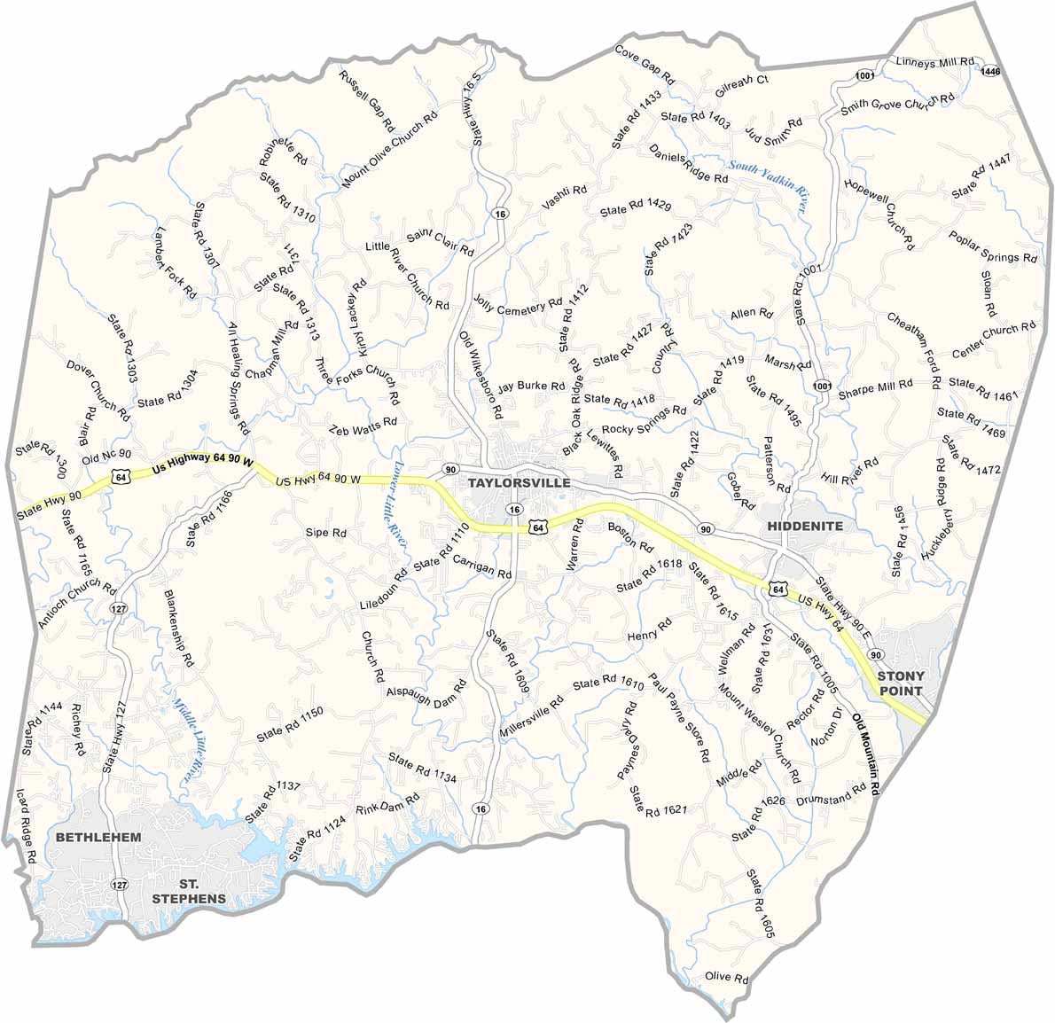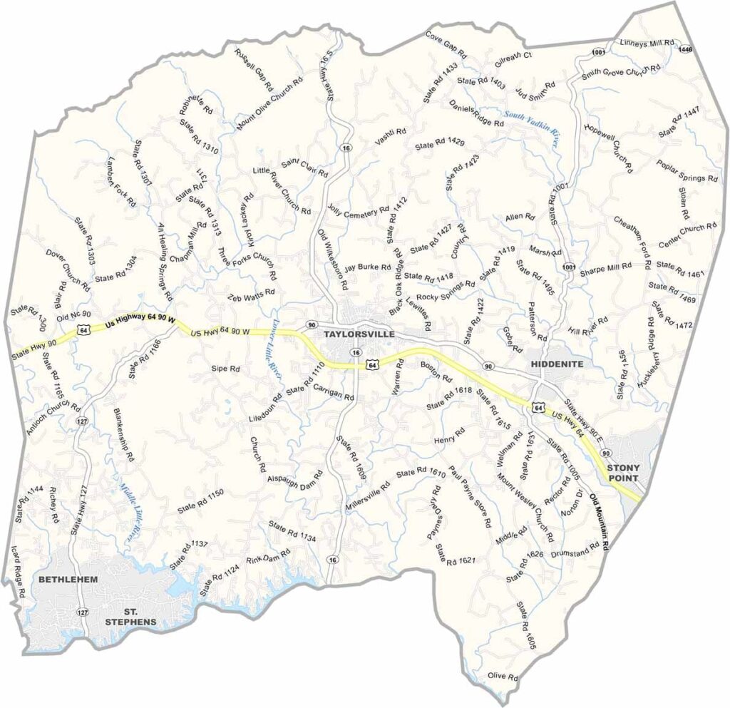
Alexander County Map, North Carolina

Alexander County, North Carolina

Alexander County lies in the foothills of western North Carolina. It is small but full of character, and the Rocky Face Mountain Recreational Area draws hikers and rock climbers.

Hiddenite, a rare green gem, was discovered here, which is why the county is nicknamed the “Gem of the Foothills.” Apple orchards fill the countryside, and Taylorsville, the county seat, has a quaint downtown.

The county has deep musical roots in bluegrass and old-time traditions, and live performances can often be caught at local venues. Fishing on Lake Hickory is a favorite pastime for many residents, and the Apple Festival each fall brings the whole community together.
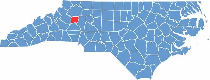

CategoryDetails
County NameAlexander County
County SeatTaylorsville
EtymologyNamed after William Julius Alexander, a Speaker of the North Carolina House of Commons.
Cities, Towns, and CommunitiesTaylorsville, Bethlehem, Hiddenite, Stony Point
Interstates and HighwaysU.S. Highway 64, NC Highways 16, 90, and 127
FIPS Code37-003
Total Area (Land and Water)263 square miles (260 square miles land, 3 square miles water)
Adjacent Counties (and Direction)Wilkes County (North), Iredell County (East), Catawba County (South), Caldwell County (West)
Time ZoneEastern Time Zone
StateNorth Carolina
Coordinates35.9226° N, 81.1771° W
Major LandmarksRocky Face Mountain Recreational Area, Hiddenite Gems Emerald Hollow Mine, Brushy Mountain Apple Festival
PopulationApproximately 37,000 (as of the most recent estimate)
Scroll to Top