
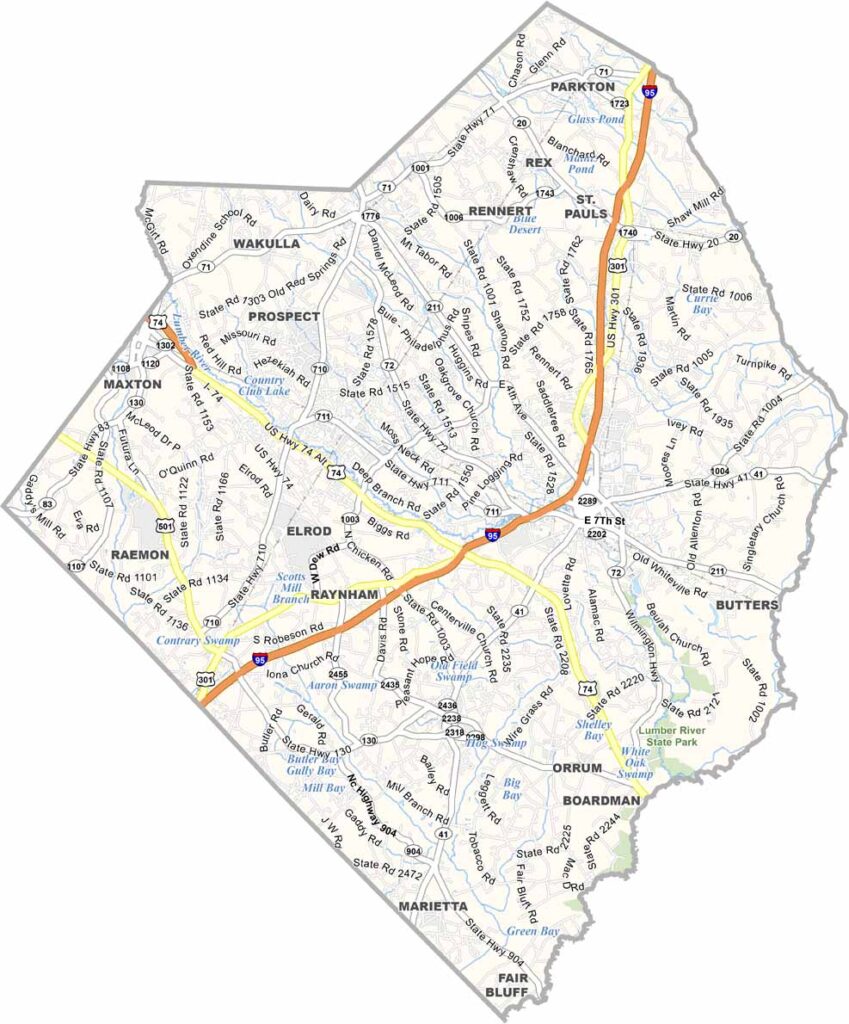
Robeson County stretches across southeastern North Carolina, along the South Carolina border. It's home to the Lumbee Tribe, the largest Native American tribe east of the Mississippi River.
Lumberton, the county seat, serves as a regional hub. The Lumber River snakes through the county with its own scenic beauty and recreation.
Agriculture remains a cornerstone of the local economy, and tobacco, sweet potatoes, and corn are major crops. Overall, Robeson County takes pride in its multicultural heritage, with a handful of local festivals that celebrate this diversity.
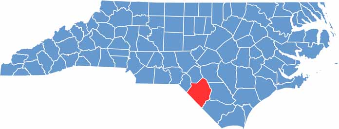
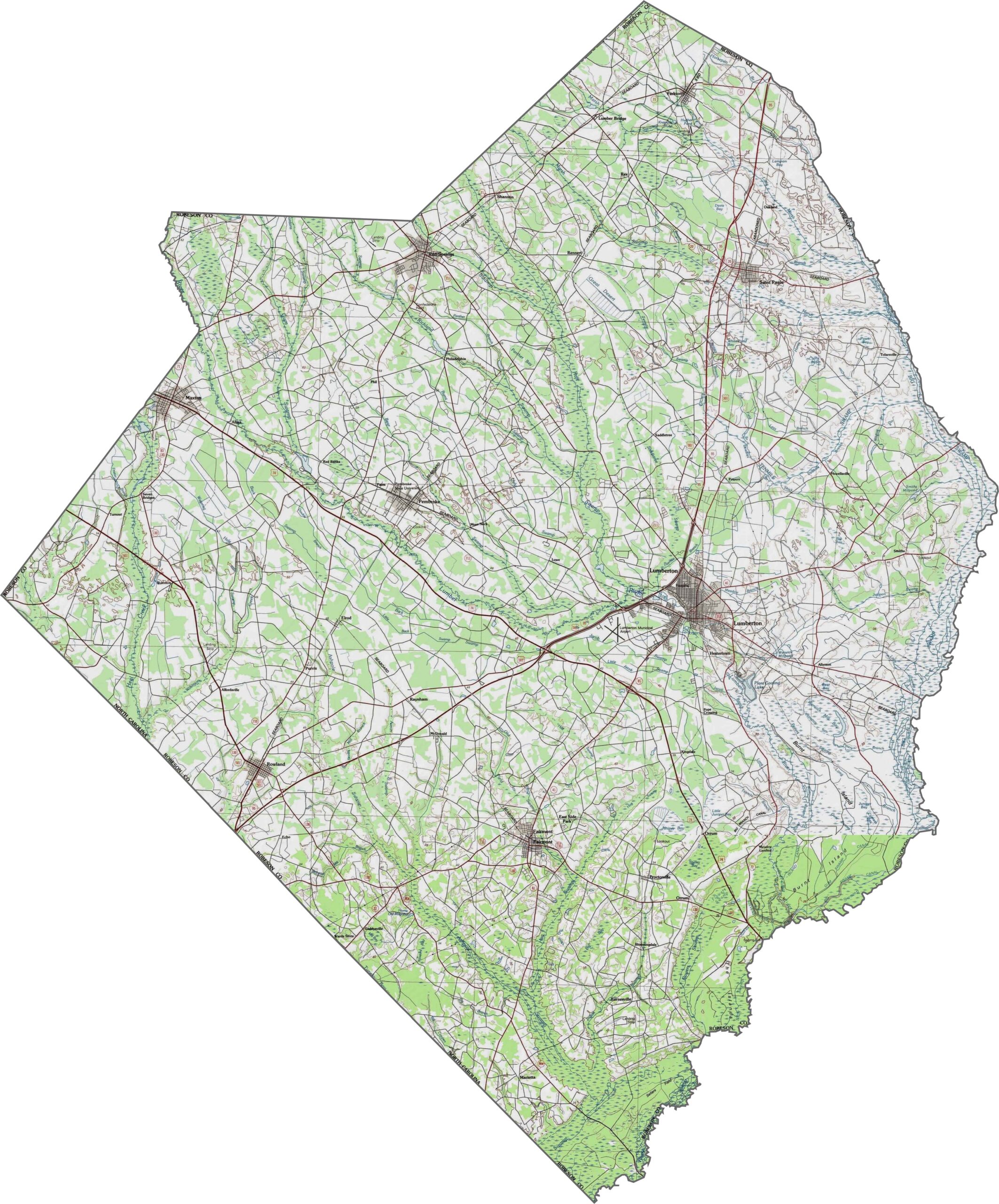
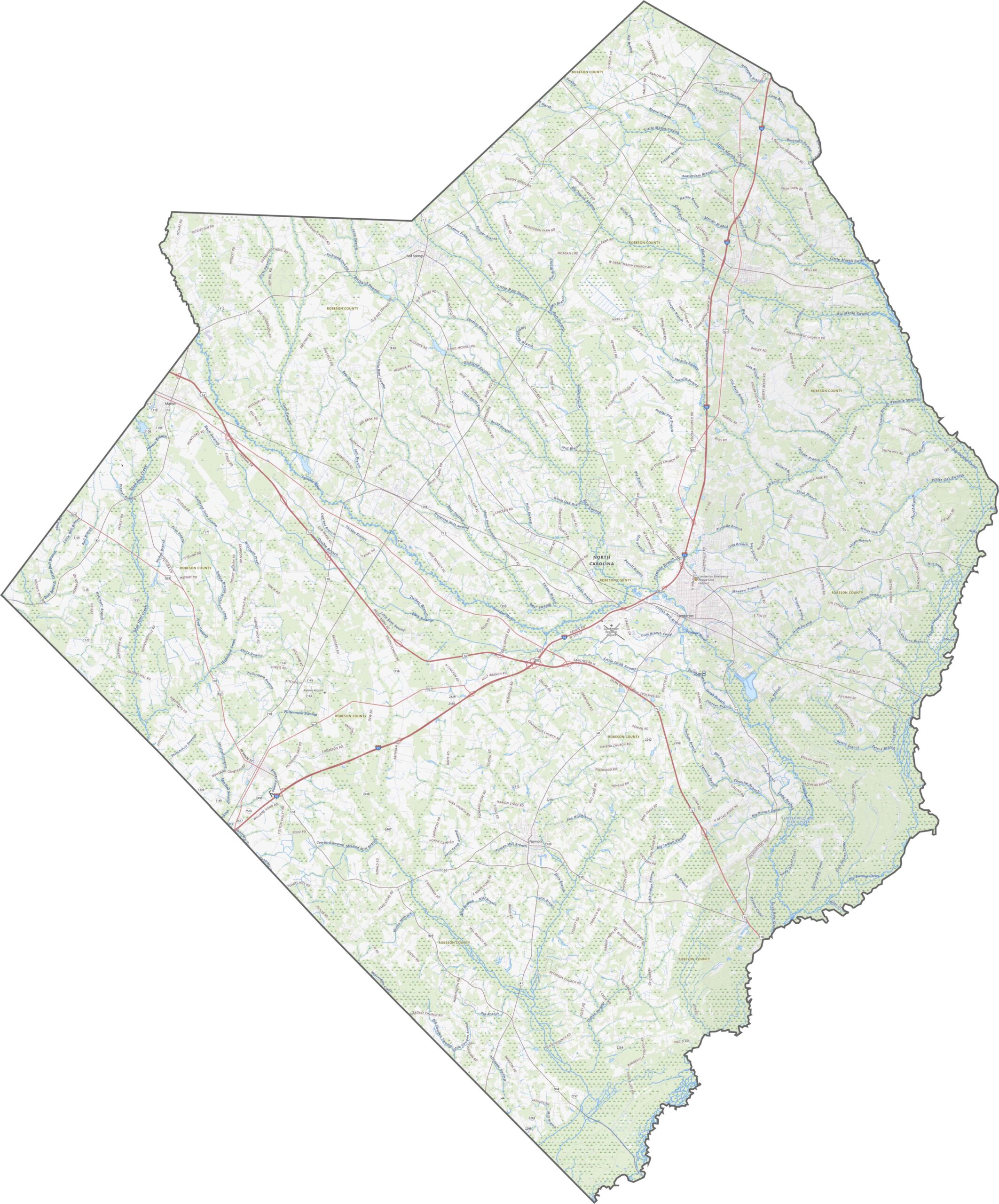
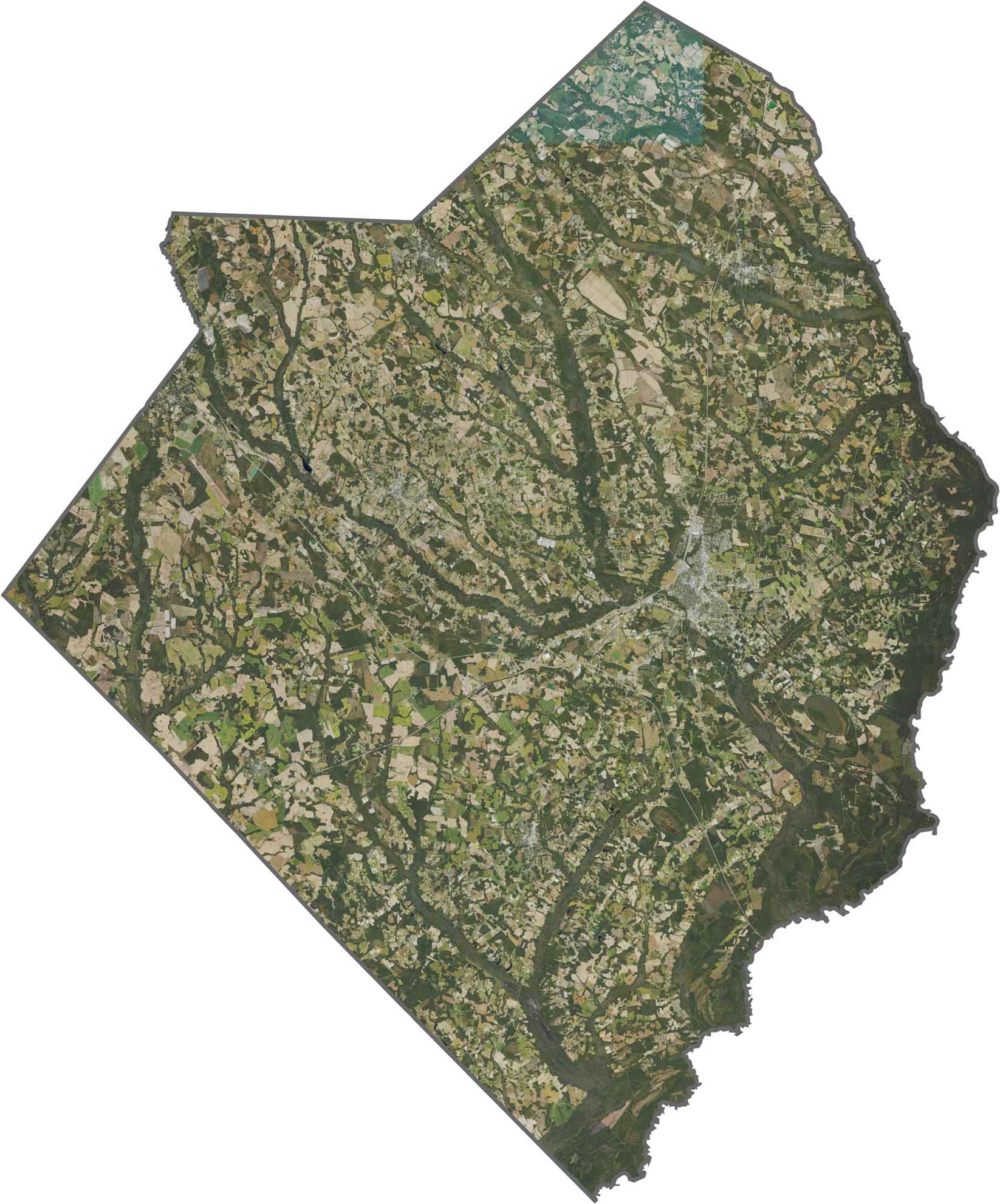
Low and flat, with sandy soils and broad fields. That's Robeson County. The Lumber River adds some curves, especially near the southern edge. It's classic southeastern North Carolina terrain. Our zoom tool lays it all out.
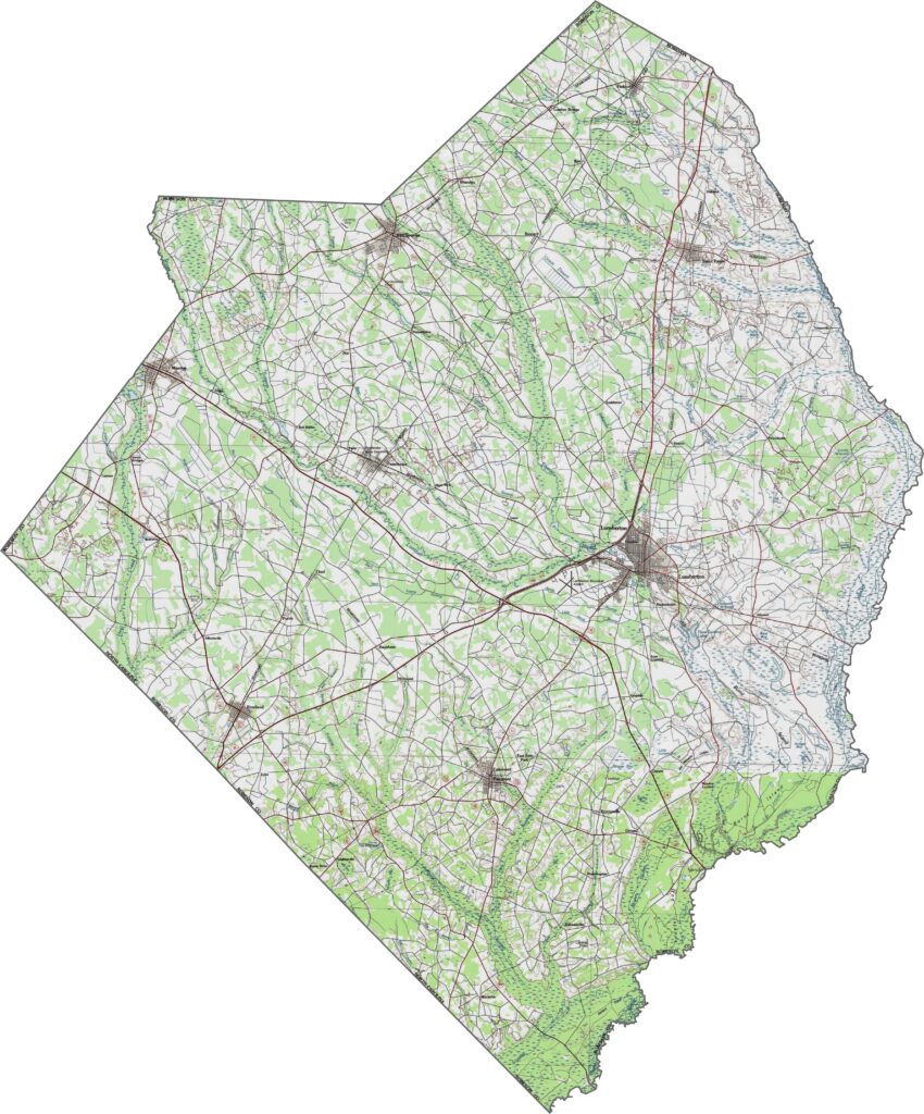
A broad, flat layout makes room for straight-shot highways in Robeson County. Interstate 95 slices diagonally, bringing heavy traffic right through the middle. U.S. Route 74 crosses east-west, connecting Lumberton to other key towns.
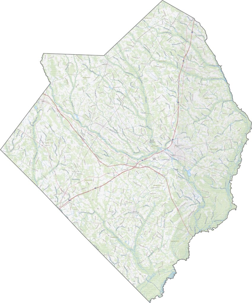
Lumberton shows up clearly, surrounded by open farmland and forest blocks. But the Lumber River steals the spotlight. Wetlands and oxbows show up as dark splotches near the water.
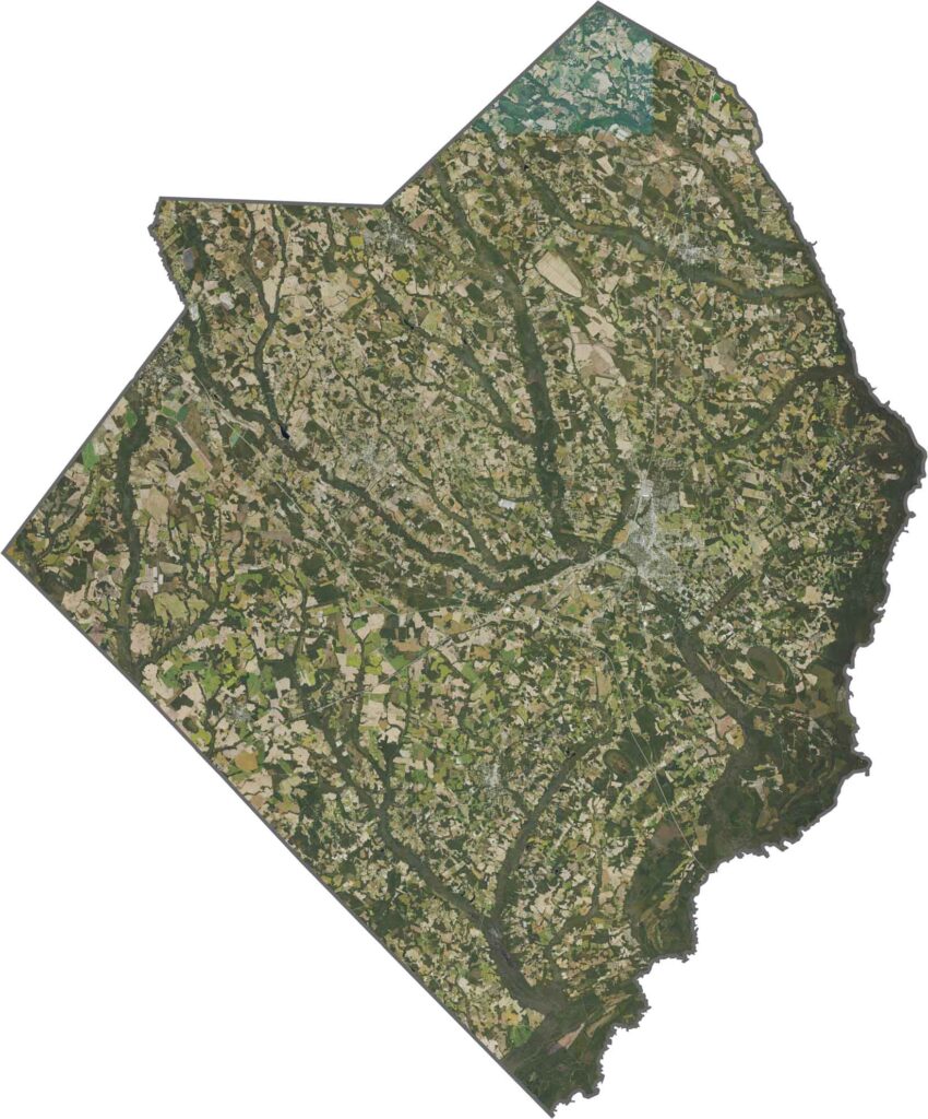
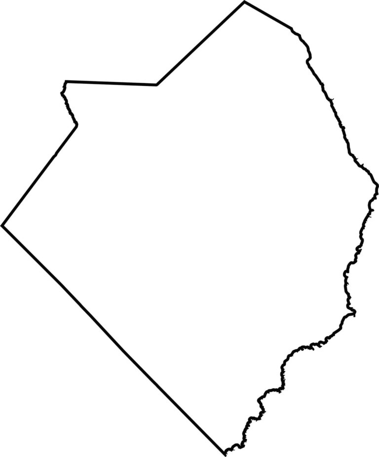
Robeson County has a blocky shape, but the eastern edge is curved by the Lumber River. It borders South Carolina to the west.









North Carolina’s 100 counties each have their own personality. Some embrace beach life, while others are known for barbecue or bluegrass. Sometimes, you’ll find all three in one place. Across the state, there are waterfalls, farmland, and NASCAR.