
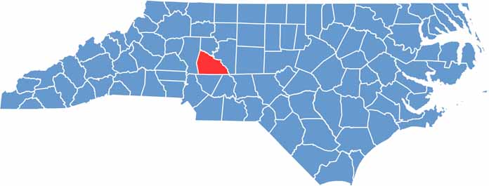
History comes alive in Rowan County, located in the Piedmont region of North Carolina. Salisbury, the county seat, boasts beautifully preserved 19th-century architecture.
The county played a significant role in the Revolutionary War and Civil War. Today, it's a blend of old and new. Salisbury is famous for its Cheerwine soda and unique barbecue style.
Education is a priority here, and Catawba College and Livingstone College call Rowan County home. The North Carolina Transportation Museum in Spencer brings in visitors too. Agriculture remains important, with a focus on dairy and crops.
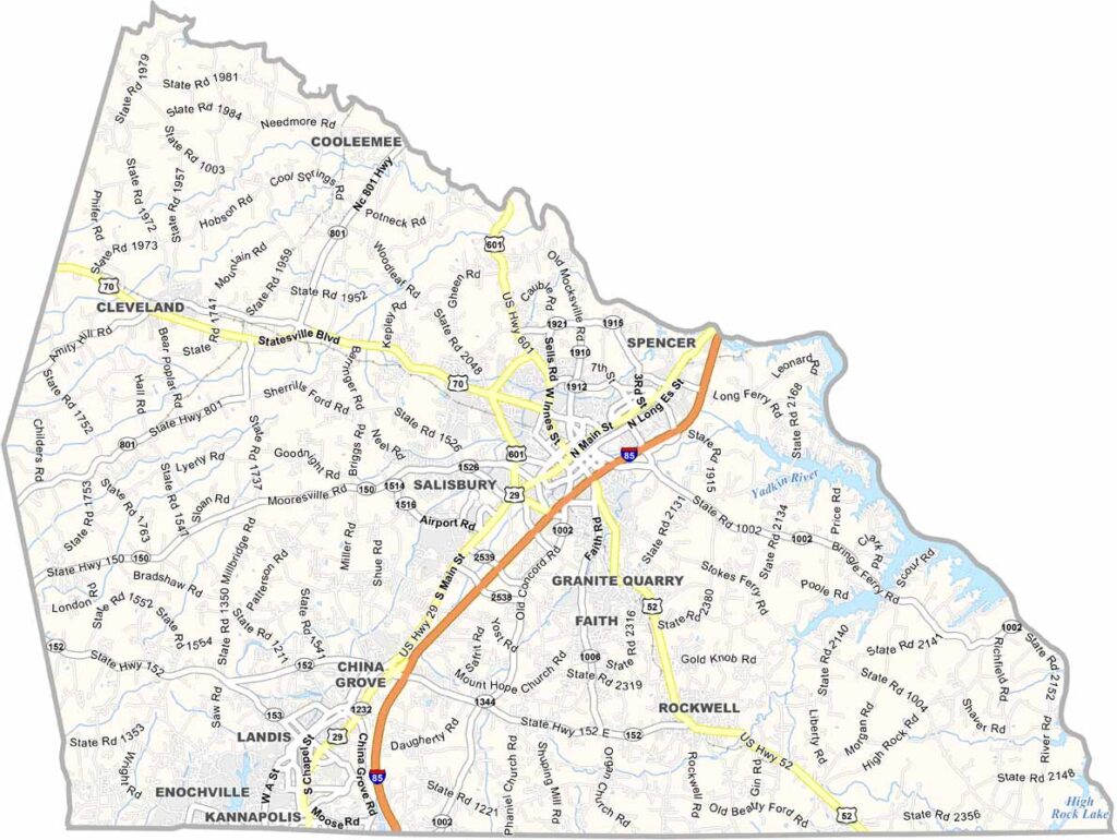
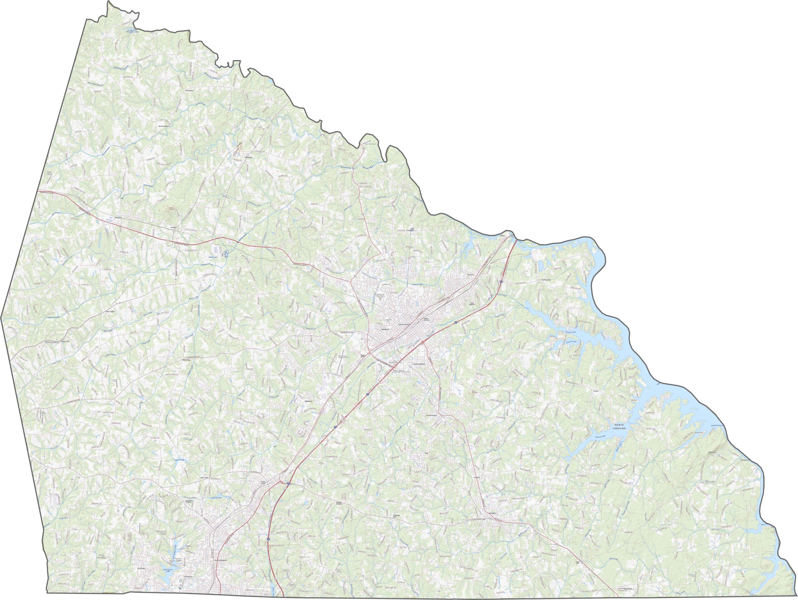
Rowan County sits along a major transportation corridor. Interstate 85 cuts through the heart of the county, slicing past Salisbury and heading toward Charlotte. U.S. Route 52, U.S. Route 29, and U.S. Route 70 help travel through the county. Use our zoom tool to see how these routes connect towns and industries.
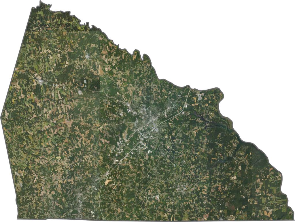
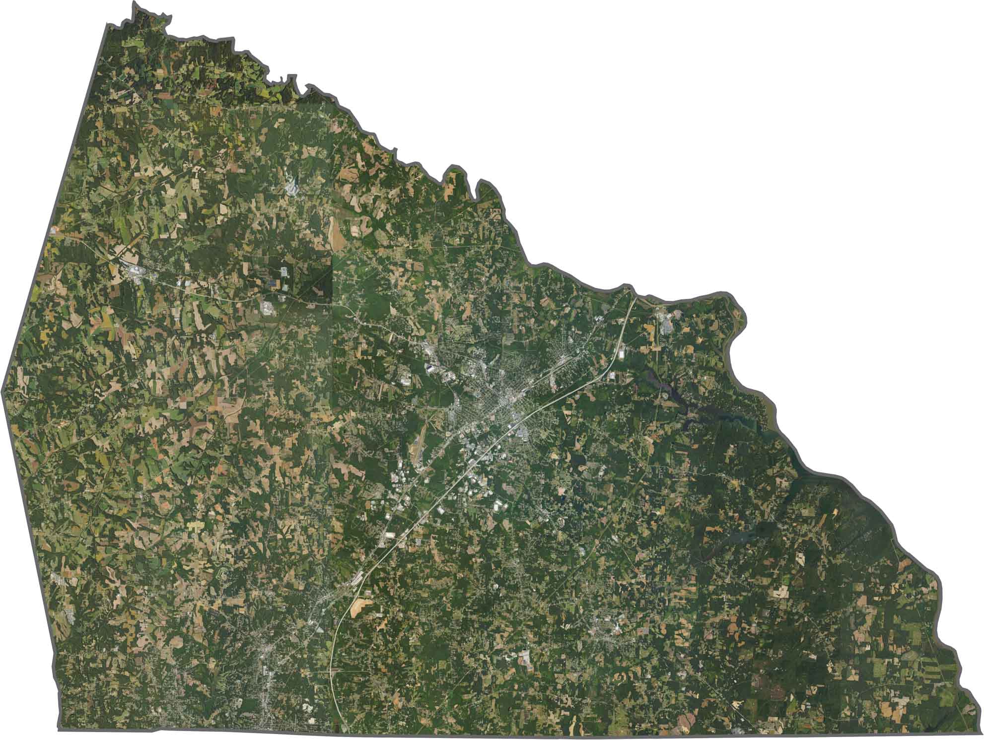
Salisbury appears front and center. It's bright and dense, with roads stretching outward. Beyond the city, fields dominate the south and forests fill the north. The Yadkin River flows on the east side.
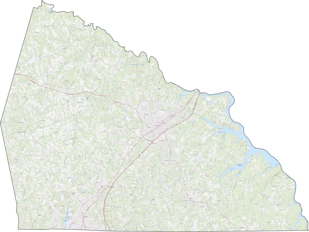
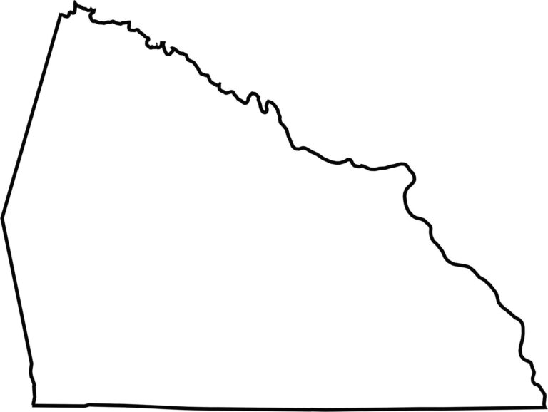
Rowan County looks like a tilted wedge, with its longest edge along the Yadkin River. That river helps define the border with Davie County and Davidson County. There are no state lines here, but it's boxed in by neighbors on all sides.









North Carolina’s 100 counties each have their own personality. Some embrace beach life, while others are known for barbecue or bluegrass. Sometimes, you’ll find all three in one place. Across the state, there are waterfalls, farmland, and NASCAR.