
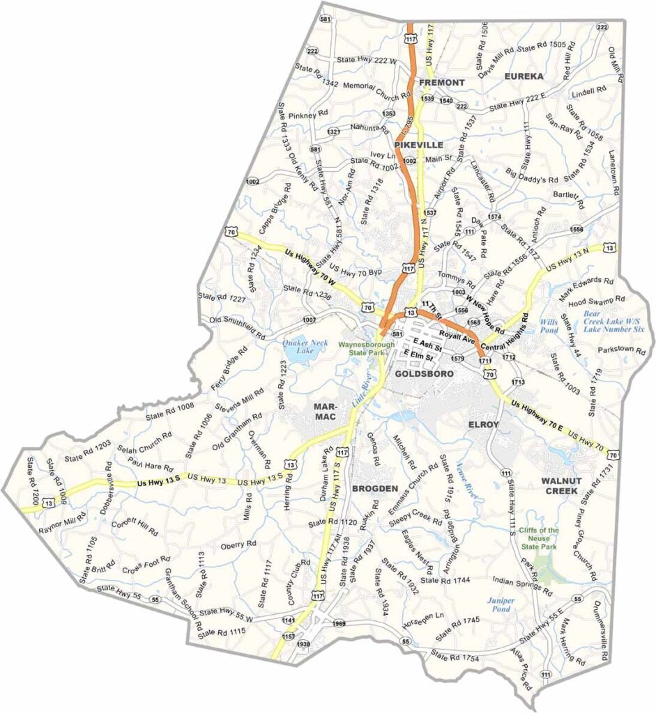
Eastern North Carolina is home to Wayne County. Goldsboro serves as its hub and county seat. It's a place where old and new collide.
Seymour Johnson Air Force Base brings a global perspective, but you'll still find plenty of down-home charm. BBQ is religion here. Argue about eastern vs. western style at your own risk.
The county has deep agricultural roots, and you'll see it in the fields that surround the towns. The arts are alive and well, with murals brightening downtown walls. Wayne County isn't fancy, but it's genuine. People here work hard and play hard.
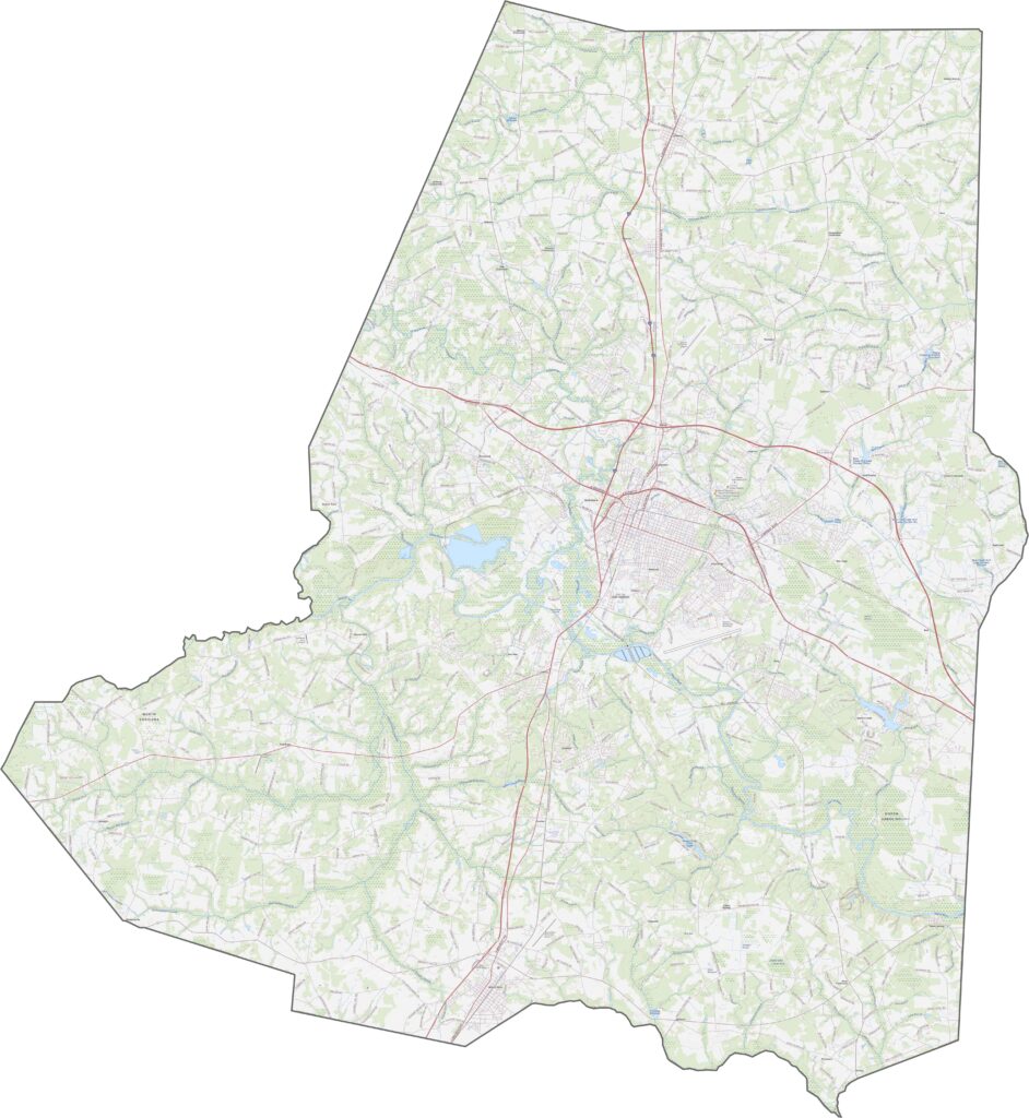
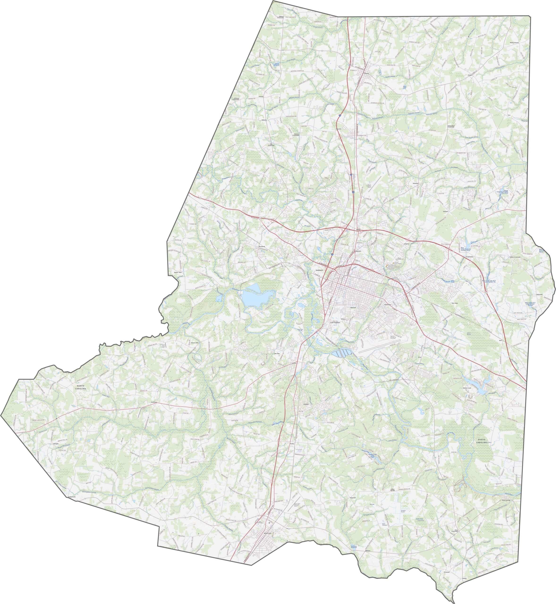
Set in eastern North Carolina, Wayne County balances local roads with regional routes. U.S. Route 70 runs straight through Goldsboro, connecting east and west. Zoom in to spot the transportation network of Wayne County.
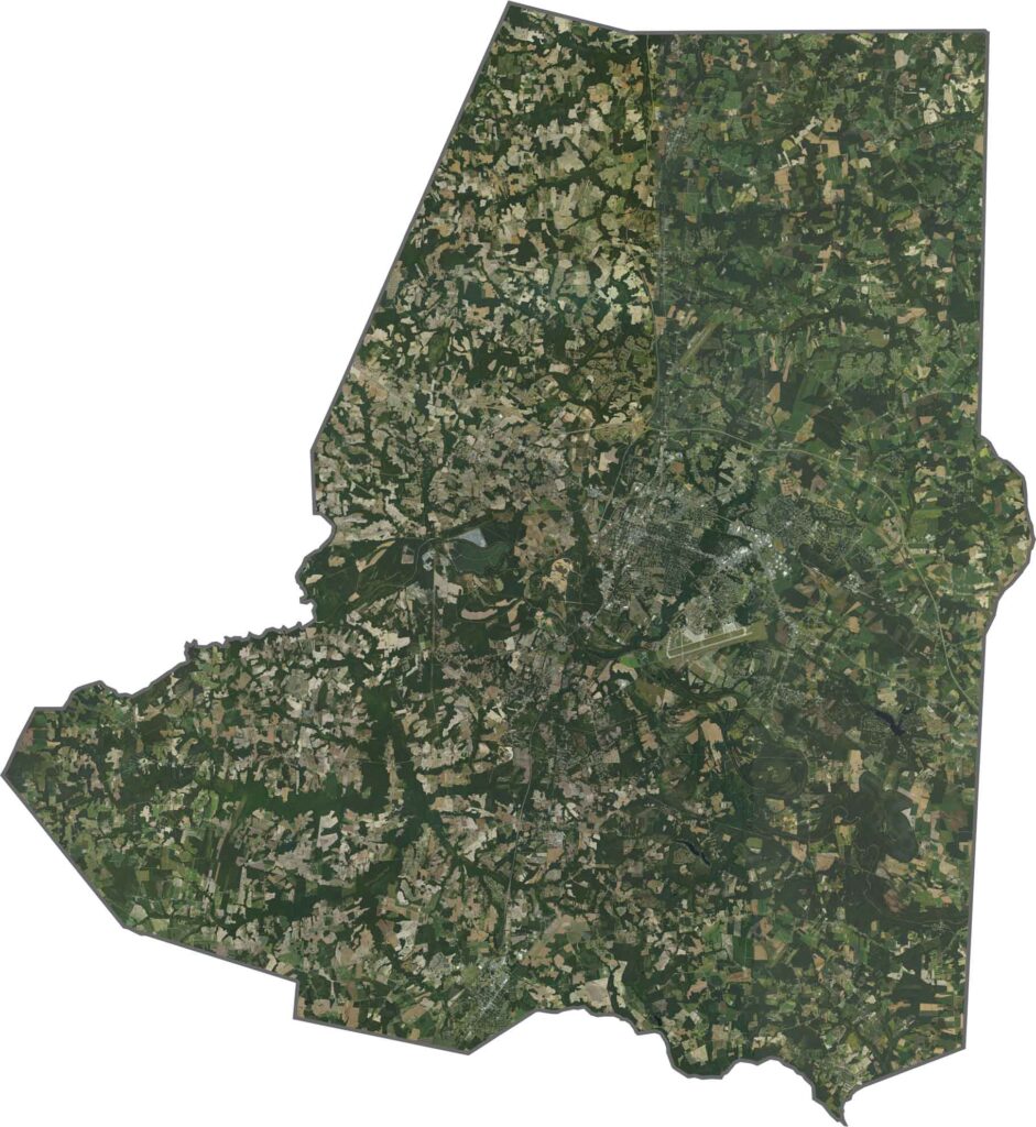
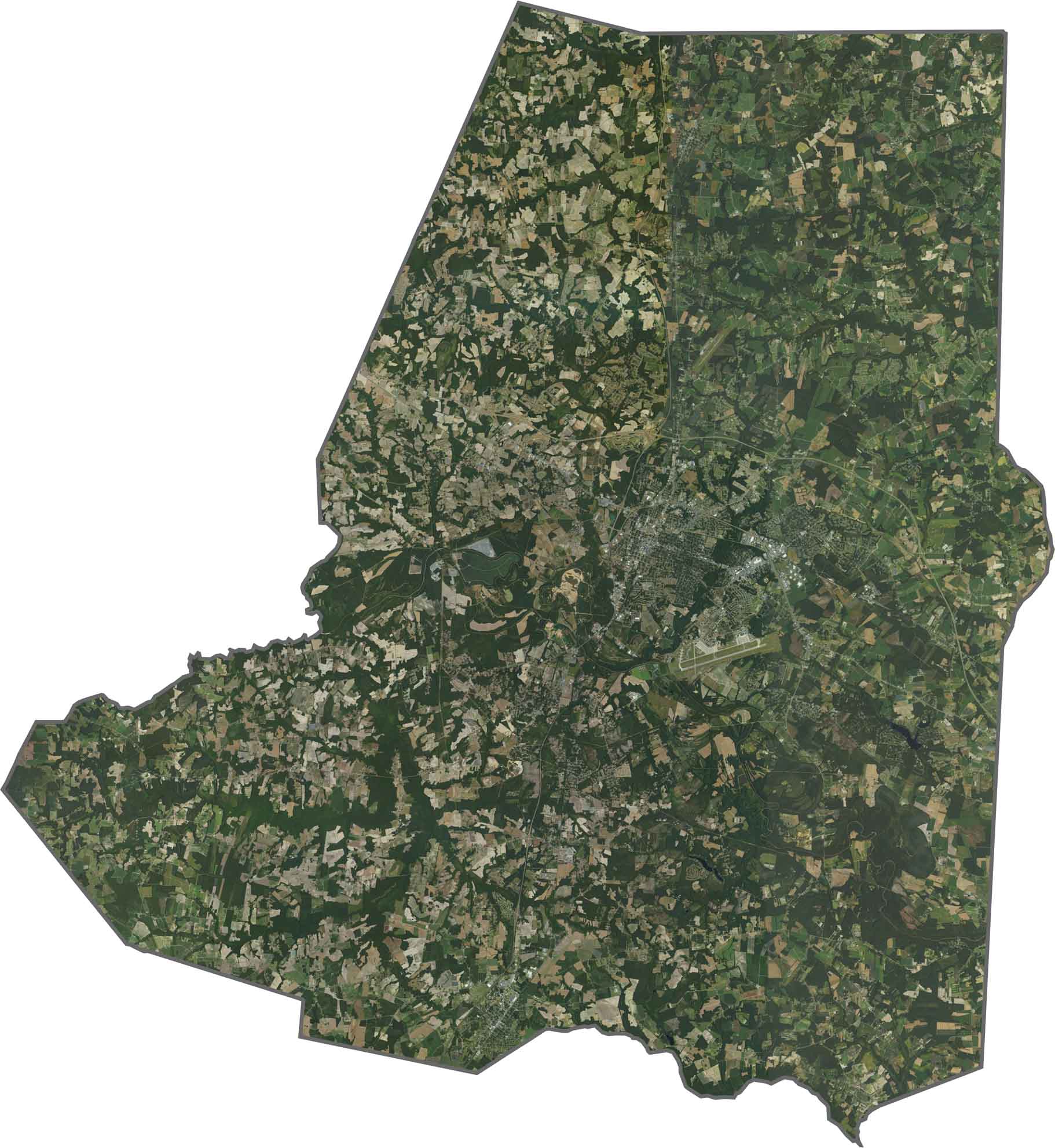
Goldsboro is a bright, central patch surrounded by farmland. Fields and roads form clean patterns across the county. The Neuse River winds through the county. Seymour Johnson Air Force Base takes up a wide, structured spot near the city.
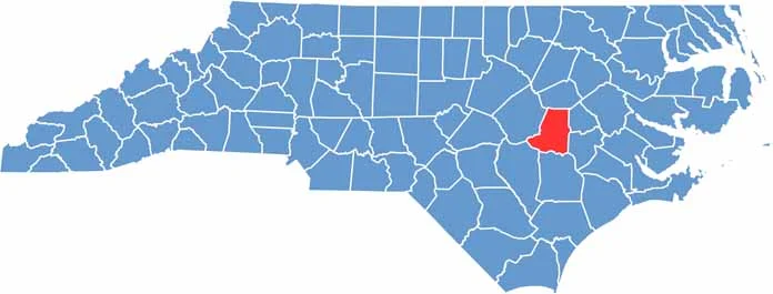
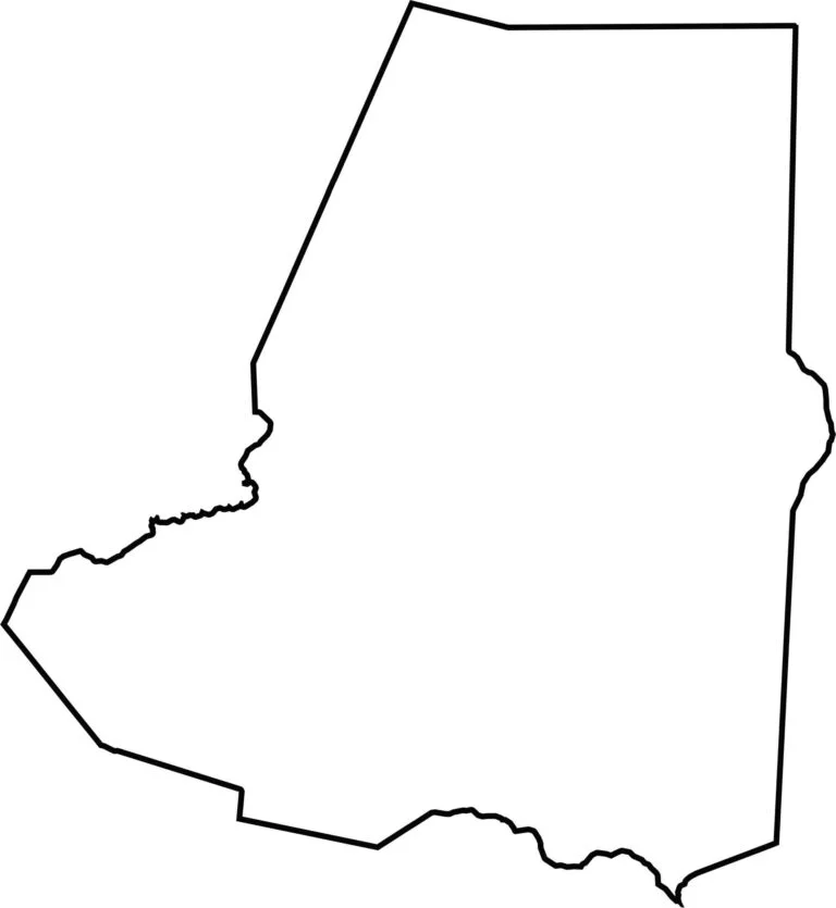
Wayne County has a soft-edged rectangular shape, stretched north to south. It touches no other states, and the shape is simple.









North Carolina’s 100 counties each have their own personality. Some embrace beach life, while others are known for barbecue or bluegrass. Sometimes, you’ll find all three in one place. Across the state, there are waterfalls, farmland, and NASCAR.