
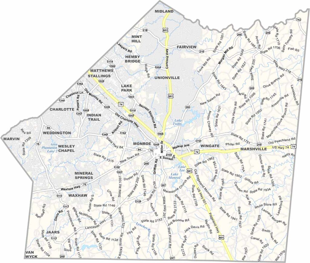
Union County sits just southeast of Charlotte. It's one of the fastest-growing counties in North Carolina. Monroe, the county seat, has a beautifully preserved downtown.
The county has a rich agricultural heritage, but it's rapidly urbanizing, with new subdivisions popping up all over. The county is also home to Wingate University.
Union County has some unique claims to fame, including Jesse Helms, who hailed from here. Cane Creek Park is a local favorite because it's great for fishing, camping, and boating.
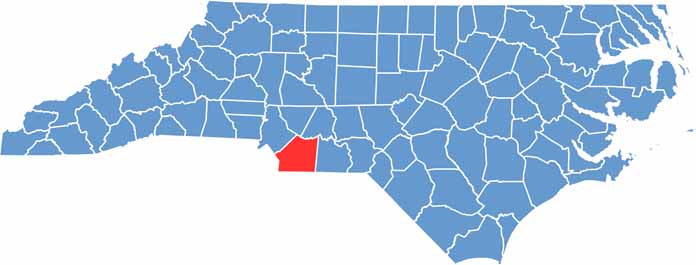
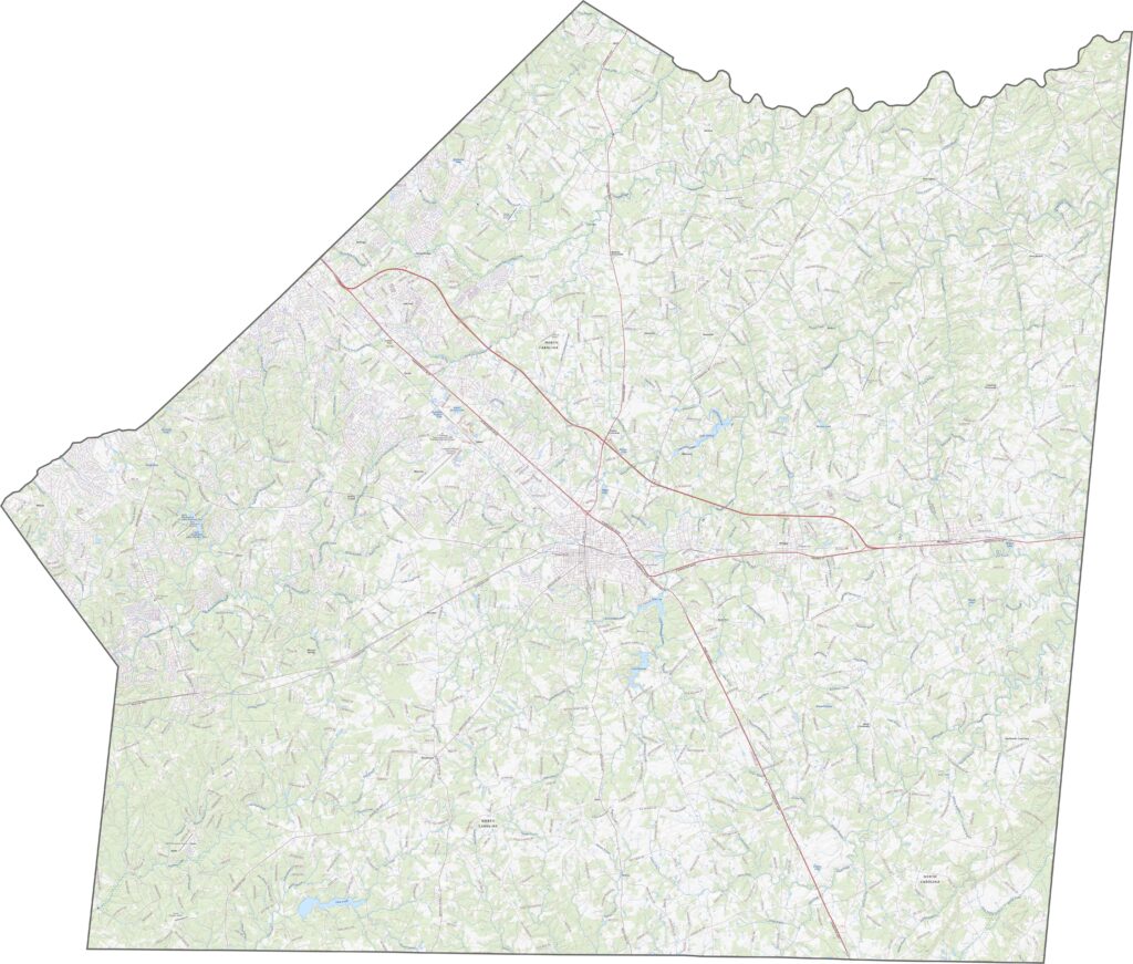
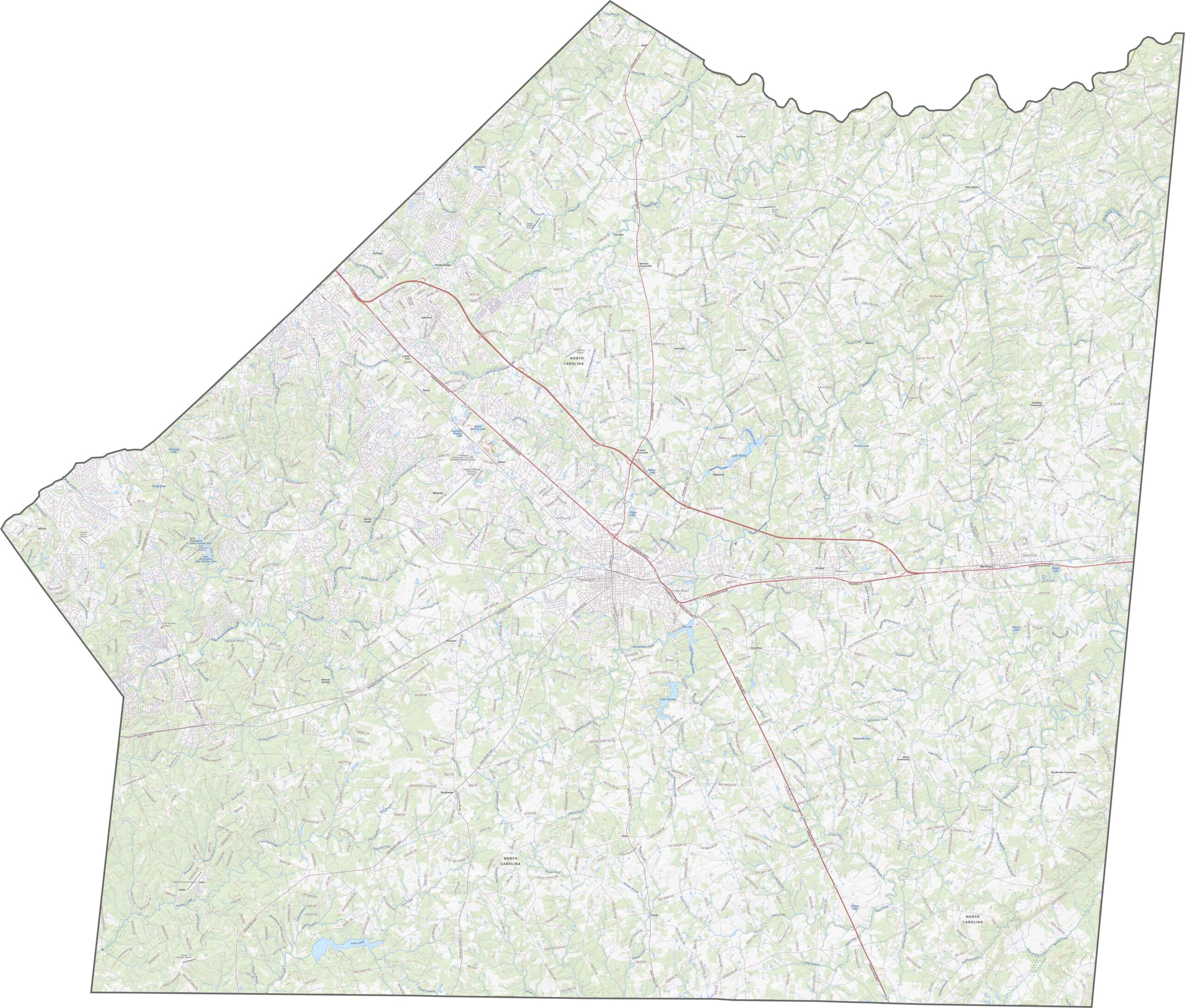
Union County is just southeast of Charlotte, and its road system is built for both commuters and farmland. Our zoom tool shows how fast this county has grown. Just follow the new roads in our road map below.
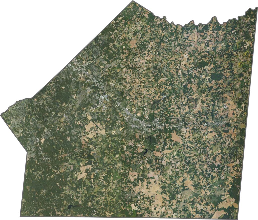
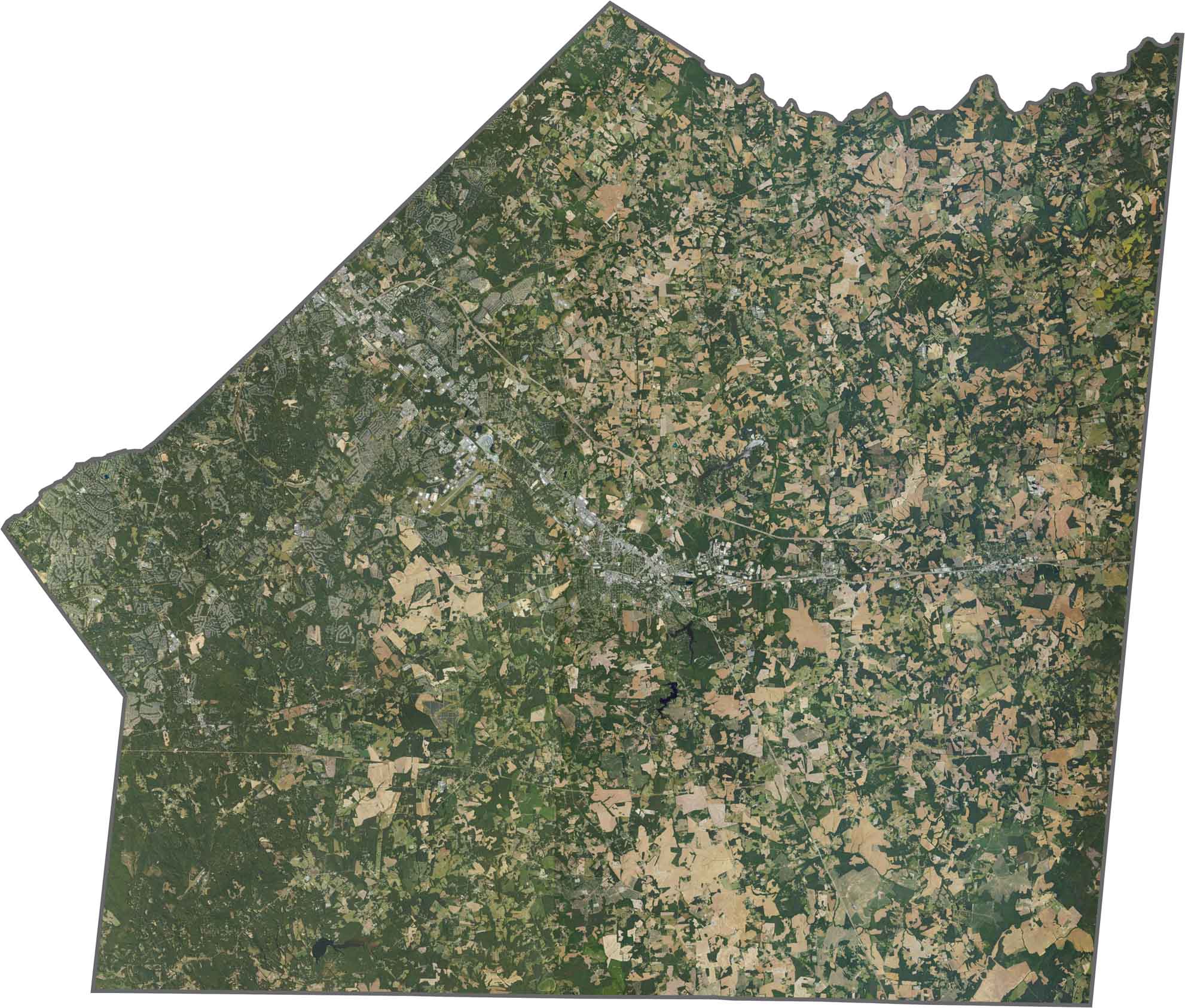
Subdivisions and rooftops stretch across the western edge near Charlotte. Monroe makes a dense splash in the middle, while farmland surrounds it. Forests cluster in the southwest and along creek corridors. It's easy to spot the suburban shift from west to east.
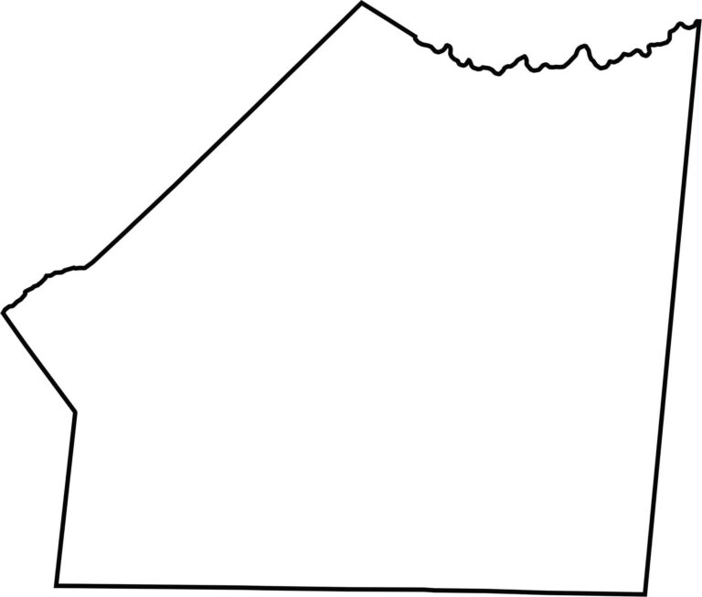
Union County's shape is wide and low. It has a long stretch of its southern border touching South Carolina. Most edges follow straight survey lines, but rivers and creeks curl through the northeast.









North Carolina’s 100 counties each have their own personality. Some embrace beach life, while others are known for barbecue or bluegrass. Sometimes, you’ll find all three in one place. Across the state, there are waterfalls, farmland, and NASCAR.