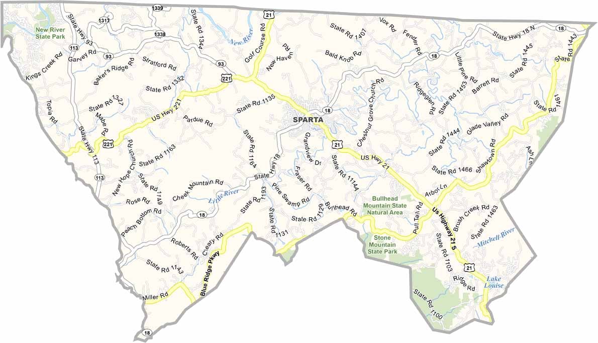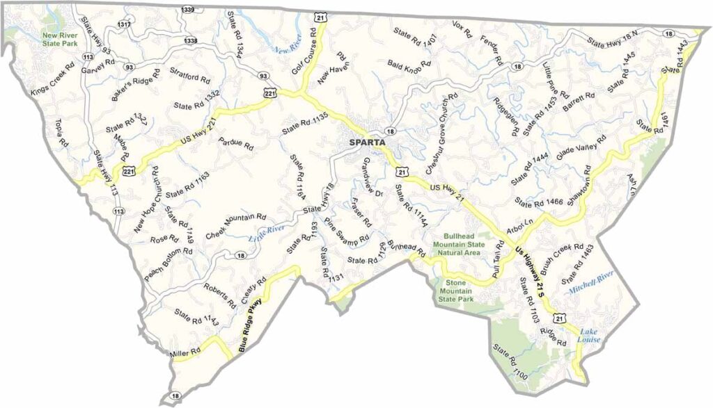
Alleghany County Map, North Carolina

Alleghany County, North Carolina

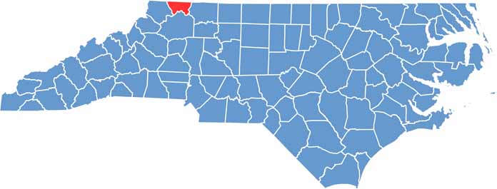
Alleghany County sits in the northwestern corner of North Carolina, bordering Virginia. It lies in the Blue Ridge Mountains, with fantastic views and plenty of outdoor adventure.

Sparta is the only town and serves as the county seat. The New River, one of the oldest rivers in the world, flows through the county. The area is quiet and rural, and locals take great pride in their heritage.

Christmas tree farms blanket the hillsides, and the Blue Ridge Parkway skirts the southern edge of the county. Visitors come to Stone Mountain State Park for hiking and rock climbing, and the county offers some of the best trout fishing in the state.

CategoryDetails
County NameAlleghany County
County SeatSparta
EtymologyNamed after the Alleghany Mountains, which are located in the area
Cities, Towns, and CommunitiesSparta, Laurel Springs, Glade Valley
Interstates and HighwaysU.S. Route 21, North Carolina State Route 18, North Carolina State Route 113
FIPS Code37-005
Total Area (Land and Water)285 square miles (283 sq mi land, 2 sq mi water)
Adjacent Counties (and Direction)Grayson County, Virginia (North), Ashe County (West), Surry County (East), Wilkes County (South)
Time ZoneEastern Time Zone (ET)
StateNorth Carolina
Coordinates36.5000° N, 81.4000° W
Major LandmarksNew River, Doughton Park, Stone Mountain State Park
PopulationApproximately 12,000
Scroll to Top