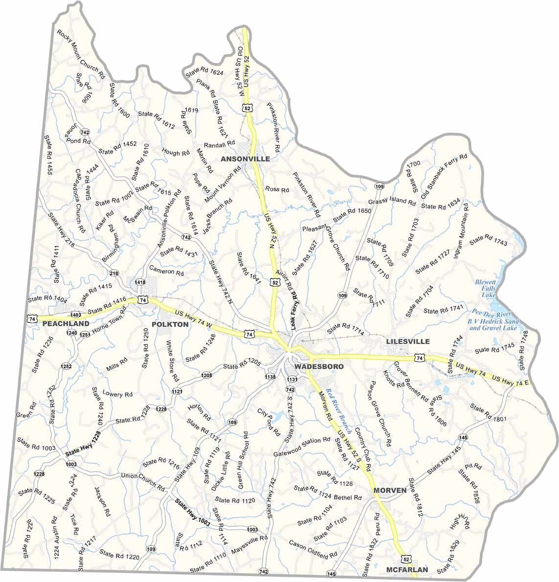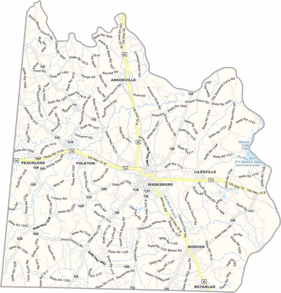
Anson County Map, North Carolina

Anson County, North Carolina

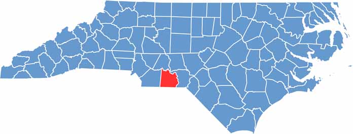
Anson County stretches across the southern Piedmont of North Carolina. Wadesboro, the county seat, has a rich history that dates back to the 18th century.

The county is named after Lord Anson, a British admiral. The area played a role in the American Revolution, and today agriculture remains important to the local economy.

The county has a laid-back, rural feel, and some great BBQ joints can be found here. Blewett Falls Lake, a popular spot for fishing and boating, sits along the Pee Dee River, which forms the county’s eastern border.

CategoryDetails
County NameAnson County
County SeatWadesboro
EtymologyNamed after George, Lord Anson, a celebrated English admiral who circumnavigated the globe
Cities, Towns, and CommunitiesWadesboro, Polkton, Lilesville, Ansonville
Interstates and HighwaysU.S. Route 74, North Carolina State Route 109, North Carolina State Route 52
FIPS Code37-007
Total Area (Land and Water)542 square miles (528 sq mi land, 14 sq mi water)
Adjacent Counties (and Direction)Stanly County (North), Union County (West), Richmond County (East), Chesterfield County, South Carolina (South), Marlboro County, South Carolina (Southeast)
Time ZoneEastern Time Zone (ET)
StateNorth Carolina
Coordinates34.9760° N, 80.0840° W
Major LandmarksAnson County Courthouse, Wadesboro Historic District
PopulationApproximately 25,000
Scroll to Top