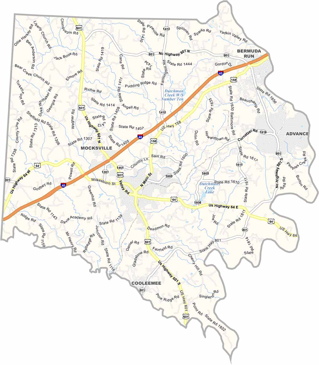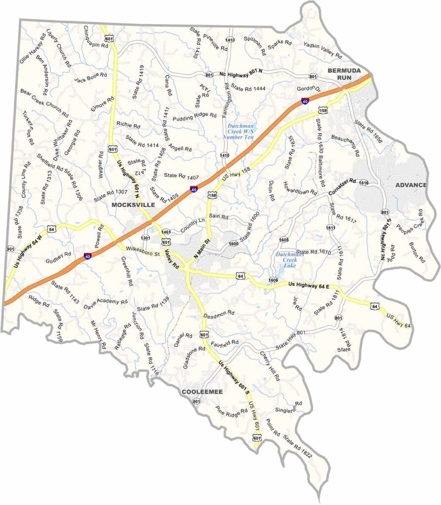
Davie County Map, North Carolina

Davie County, North Carolina

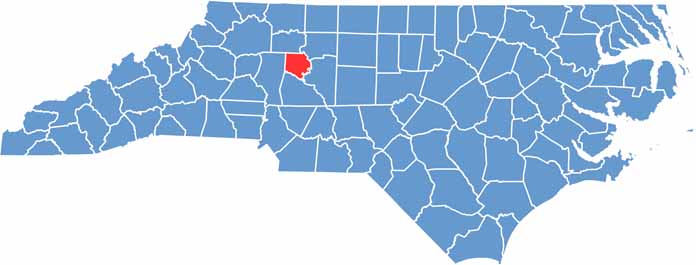
Davie County sits just west of Winston-Salem. It is small in size but big on charm, and Mocksville serves as the county seat. This is a place where everyone seems to know everyone else.

Rolling hills are dotted with farms and vineyards, and wine is a big deal here. The Yadkin River forms the eastern border and offers scenic views and recreation.

Visitors will enjoy exploring the area’s old homes and churches. The county has a strong agricultural heritage, which shows in its local farmers markets and fairs.

CategoryDetails
County NameDavie County
County SeatMocksville
EtymologyNamed after William Richardson Davie, former governor of North Carolina
Cities, Towns, and CommunitiesMocksville, Cooleemee, Bermuda Run, Farmington
Interstates and HighwaysU.S. Highway 64, U.S. Highway 158
FIPS Code37-059
Total Area (Land and Water)268 square miles (694 km²)
Adjacent Counties (and Direction)Yadkin County (North), Forsyth County (Northeast), Davidson County (East), Rowan County (South), Iredell County (West)
Time ZoneEastern Time Zone (ET)
StateNorth Carolina
Coordinates35.9114° N, 80.5924° W
Major LandmarksRichard Childress Racing Museum, Tanglewood Park
PopulationApproximately 43,000
Scroll to Top