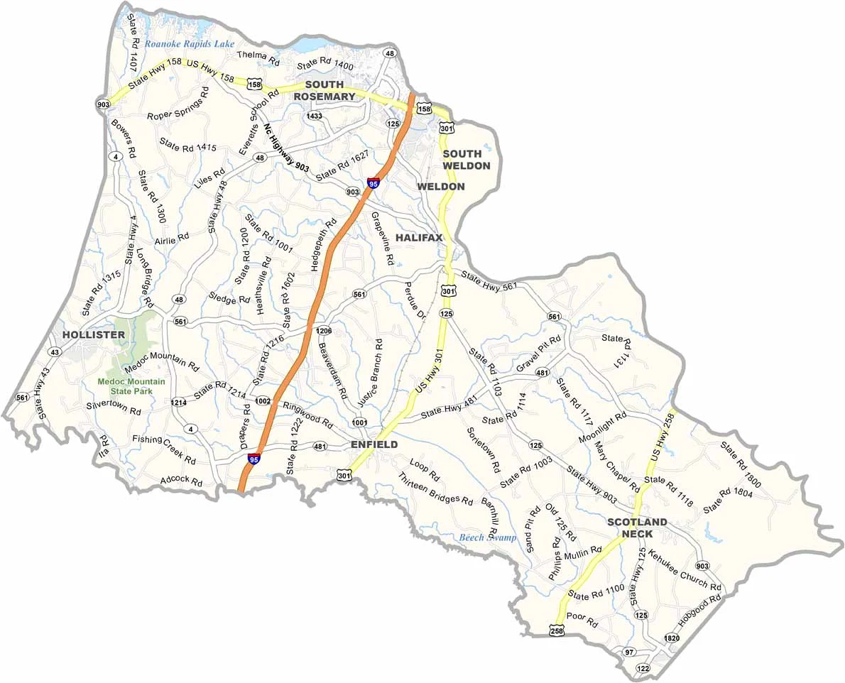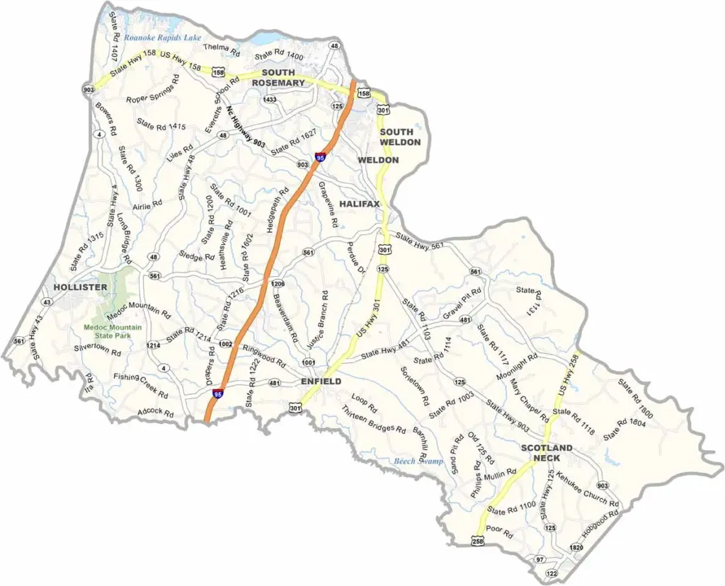
Halifax County Map, North Carolina

Halifax County, North Carolina

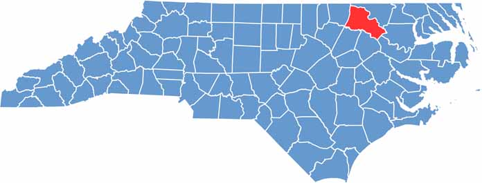
Halifax County lies in northeastern North Carolina and straddles the Roanoke River. Roanoke Rapids is the largest town in the county, but Halifax is the county seat.

This area breathes history. The Halifax Resolves, a forerunner of the Declaration of Independence, were signed here, and visitors can step back in time at the Historic Halifax State Historic Site.

Fishing at Roanoke Rapids Lake is excellent, since it is a prime spot for bass and crappie. The county has a strong agricultural heritage, and farmers commonly grow peanuts and cotton.

CategoryDetails
County NameHalifax County
County SeatHalifax
EtymologyNamed after George Montagu-Dunk, 2nd Earl of Halifax
Cities, Towns, and CommunitiesHalifax, Roanoke Rapids, Weldon, Enfield
Interstates and HighwaysU.S. Route 158, U.S. Route 301
FIPS Code37-083
Total Area (Land and Water)721 square miles (land and water)
Adjacent Counties (and Direction)Northampton County (North), Bertie County (East), Martin County (Southeast), Edgecombe County (South), Nash County (South), Franklin County (Southwest), Warren County (West)
Time ZoneEastern Time Zone
StateNorth Carolina
Coordinates36.2730° N, 77.6468° W
Major LandmarksHistoric Halifax Courthouse, Roanoke Canal Museum
PopulationApproximately 46,000
Scroll to Top