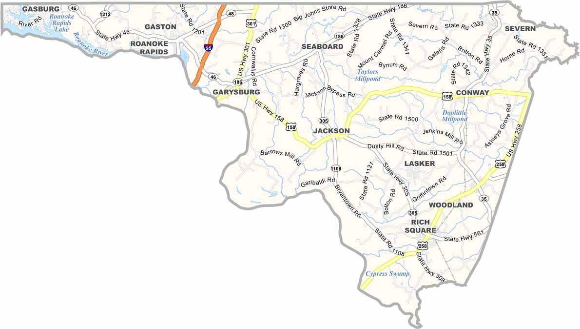
Northampton County Map, North Carolina

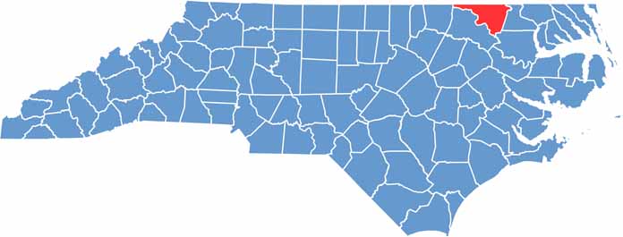
Northampton County, North Carolina

Northampton County sits in northeastern North Carolina, bordering Virginia. The Roanoke River defines its southern border, which includes Roanoke Rapids Lake.

The county is known for its rich farmland and rural beauty, and the area has a long history of peanut farming. Hunting is big here, especially for white-tailed deer. For recreation, Lake Gaston offers plenty of fishing and water sports.

You’ll find some of the oldest churches in the state here. The county hosts a couple of popular festivals each summer. It’s a place where time seems to move a little slower, and Northampton County prides itself on its small-town hospitality.

CategoryDetails
County NameNorthampton County
County SeatJackson
EtymologyNamed after James Compton, 5th Earl of Northampton
Cities, Towns, and CommunitiesJackson, Conway, Seaboard, Rich Square
Interstates and HighwaysU.S. Route 158, U.S. Route 258
FIPS Code37-131
Total Area551 square miles (land and water)
Adjacent CountiesGreensville County, Virginia (North), Southampton County, Virginia (Northeast), Hertford County (East), Bertie County (Southeast), Halifax County (Southwest), Warren County (Northwest), Brunswick County, Virginia (Northwest)
Time ZoneEastern Time Zone
StateNorth Carolina
Coordinates36.2817° N, 77.3986° W
Major LandmarksRoanoke River, Northampton County Historical Museum
PopulationApproximately 18,000
Scroll to Top