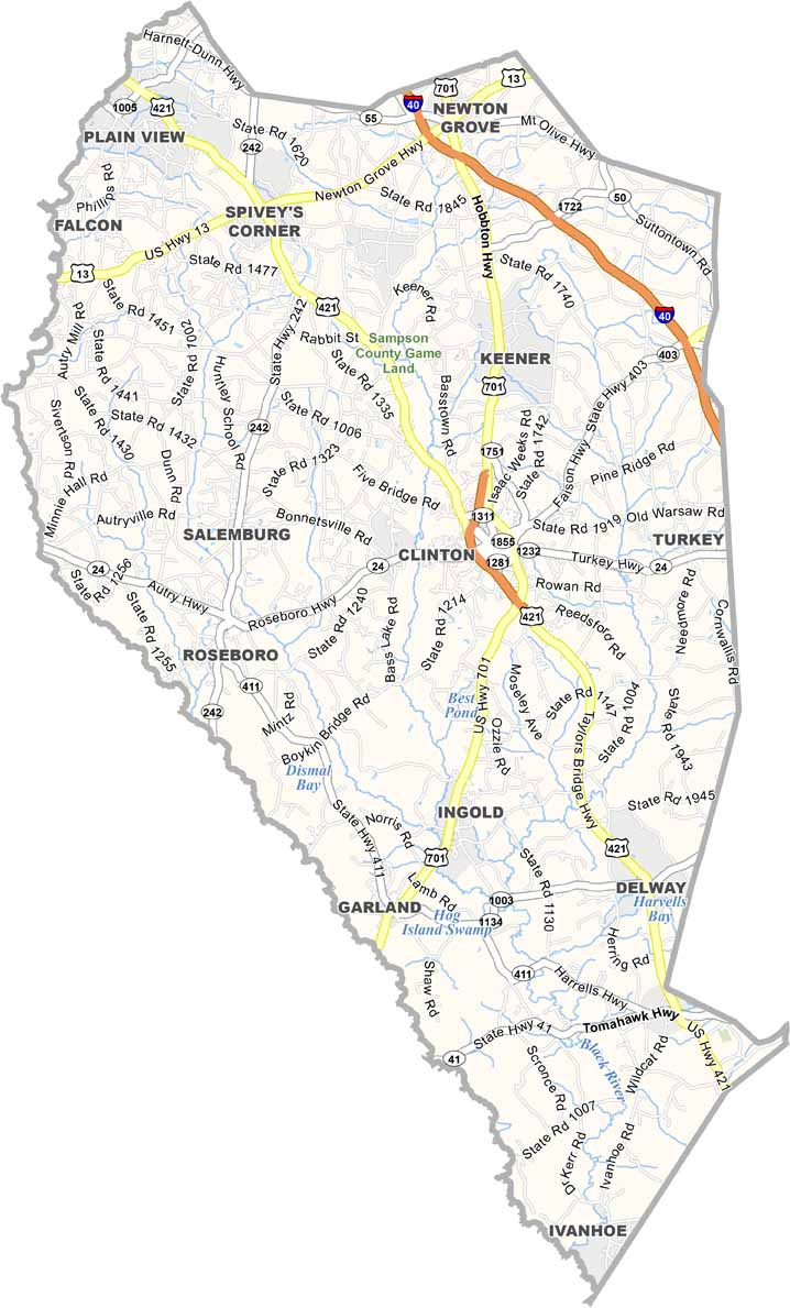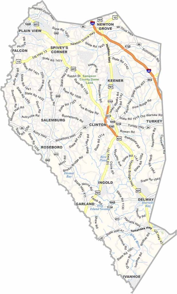
Sampson County Map, North Carolina

Sampson County, North Carolina

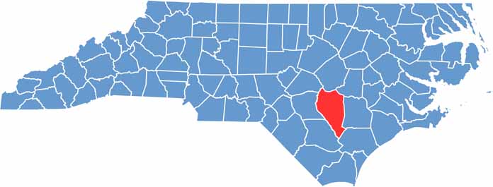
Sampson County is in the coastal plain of southeastern North Carolina. It’s one of the largest counties in the state by land area.

Farming is huge here. Drive around and you’ll see fields of tobacco, sweet potatoes, and soybeans stretching to the horizon. The county has deep agricultural roots, and you can still find plenty of quiet country roads.

Clinton, the county seat, is a friendly city in the center of the county with a beautifully preserved downtown. New industries are moving in, and the population is growing. Sampson Community College is expanding opportunities for locals.

CategoryDetails
County NameSampson County
County SeatClinton
EtymologyNamed after John Sampson, a member of Josiah Martin's council
Cities, Towns, and CommunitiesClinton, Roseboro, Garland, Newton Grove
Interstates and HighwaysInterstate 40, U.S. Route 421, U.S. Route 13
FIPS Code37-163
Total Area964 square miles (land and water)
Adjacent CountiesJohnston County (North), Wayne County (Northeast), Duplin County (East), Pender County (Southeast), Bladen County (Southwest), Cumberland County (West), Harnett County (Northwest)
Time ZoneEastern Time Zone
StateNorth Carolina
Coordinates35.0020° N, 78.3414° W
Major LandmarksSampson County History Museum, Clinton City Market
PopulationApproximately 65,000
Scroll to Top