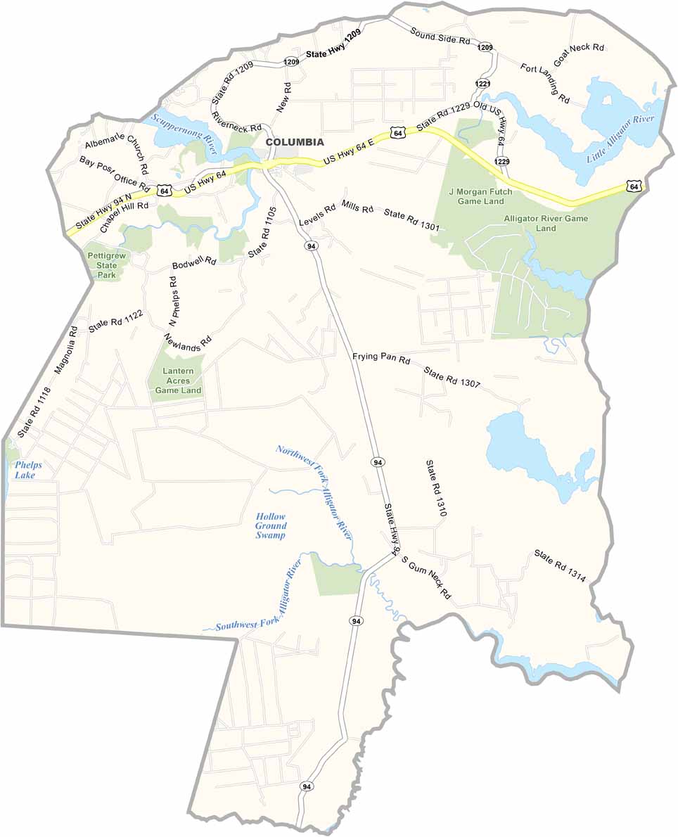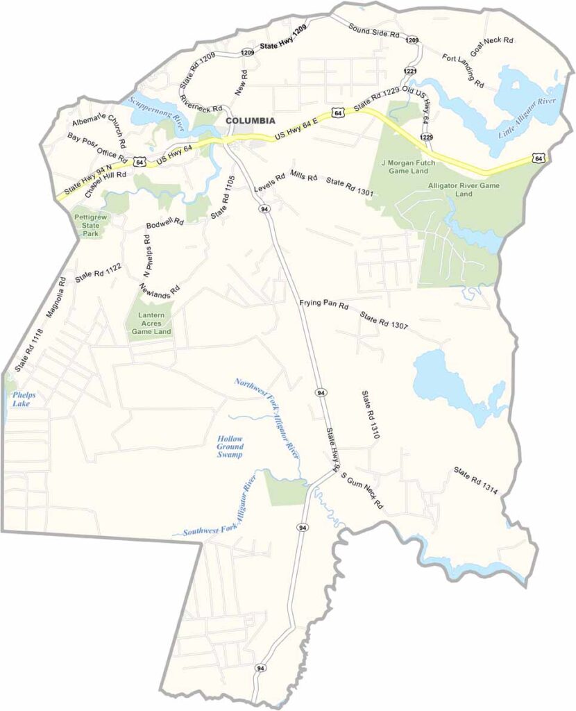
Tyrrell County Map, North Carolina

Tyrrell County, North Carolina

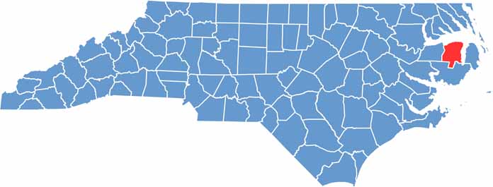
Tyrrell County hugs the coast in northeastern North Carolina. It’s one of the least populous counties in the state, but what it lacks in people, it makes up for in natural beauty.

The county is mostly wetlands and forests. Lake Phelps, the second largest natural lake in the state, lies partly within its borders in the west, with the Alligator River along the east.

Columbia, the county seat, is a tiny town with a lot of character. The county has deep roots in commercial fishing, but tourism is becoming more important. Pocosin Lakes National Wildlife Refuge is a haven for birds and wildlife.

CategoryDetails
County NameTyrrell County
County SeatColumbia
EtymologyNamed after John Tyrrell, at one time was a Lords Proprietor
Cities, Towns, and CommunitiesColumbia, Kilkenny, Gum Neck, Scuppernong
Interstates and HighwaysU.S. Route 64, North Carolina Highway 94
FIPS Code37-177
Total Area1,356 square miles (land and water)
Adjacent CountiesPerquimans County (North), Pasquotank County (North), Camden County (North), Currituck County (Northeast), Dare County (East), Hyde County (South), Washington County (West), Chowan County (Northwest)
Time ZoneEastern Time Zone
StateNorth Carolina
Coordinates35.9254° N, 76.2726° W
Major LandmarksAlligator River National Wildlife Refuge, Pocosin Lakes National Wildlife Refuge
PopulationApproximately 4,000
Scroll to Top