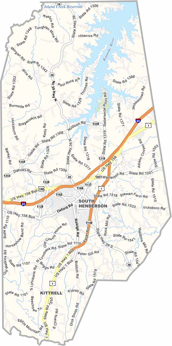
Vance County Map, North Carolina

Vance County, North Carolina

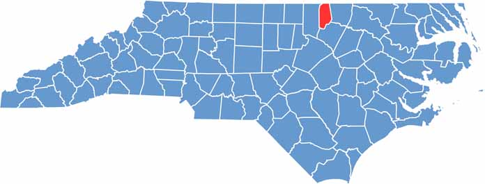
Vance County sits in the north-central part of North Carolina, right on the Virginia border. It’s a place with deep roots, and tobacco fields stretch for miles.

The county seat, Henderson, buzzes with small-town charm. Kerr Lake is a major draw, including its recreation area. Locals and visitors come to its shores for fishing, boating, and camping.

Visitors love exploring the area’s old plantations and Civil War sites. The county has its share of challenges too, but folks here are resilient. They look out for each other, and community spirit runs strong in Vance County.

CategoryDetails
County NameVance County
County SeatHenderson
EtymologyNamed after Zebulon Baird Vance
Cities, Towns, and CommunitiesHenderson, Kittrell, Middleburg, Williamsboro
Interstates and HighwaysU.S. Route 1, U.S. Route 158, North Carolina Highway 39
FIPS Code37-181
Total Area266 square miles (land and water)
Adjacent CountiesMecklenburg County, Virginia (North), Warren County (East), Franklin County (South), Granville County (West)
Time ZoneEastern Time Zone
StateNorth Carolina
Coordinates36.3328° N, 78.3910° W
Major LandmarksKerr Lake, Vance County Historical Museum
PopulationApproximately 40,000
Scroll to Top