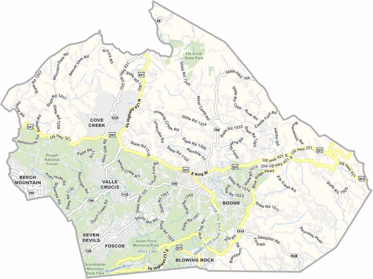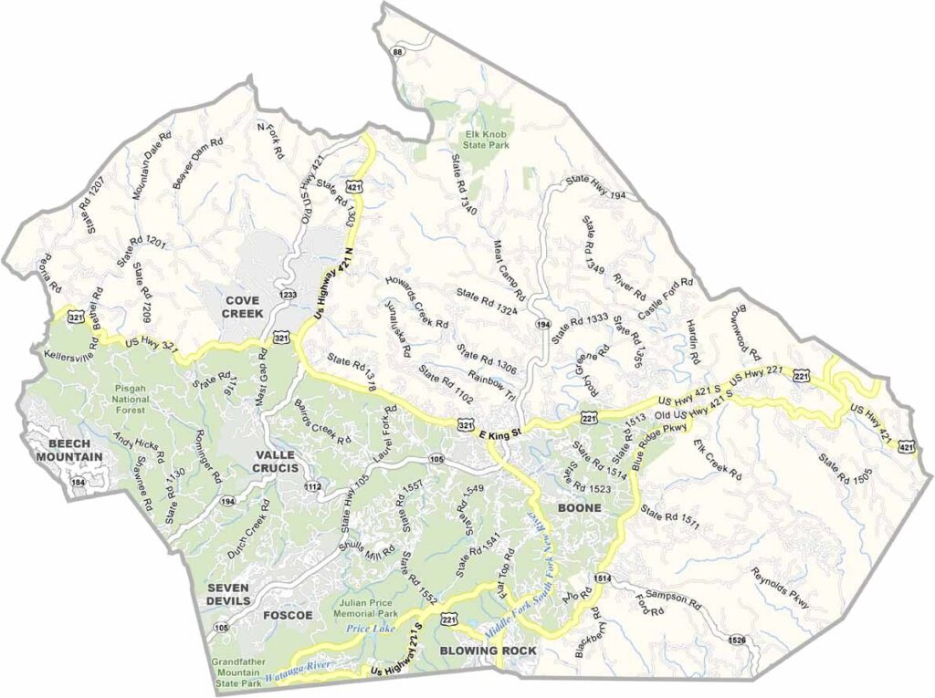
Watauga County Map, North Carolina

Watauga County, North Carolina

Watauga County sits high in the Blue Ridge Mountains of northwestern North Carolina. Hiking trails crisscross the landscape, and in winter, skiers hit the slopes.

Boone is home to Appalachian State University. The music scene is hopping, with old-time and bluegrass tunes filling the air at local venues. Agriculture still plays a role, especially Christmas tree farms.

The fall colors here are spectacular, and tourists come from far and wide to see them. Watauga County has a way of stealing hearts, and many visitors end up staying for good.
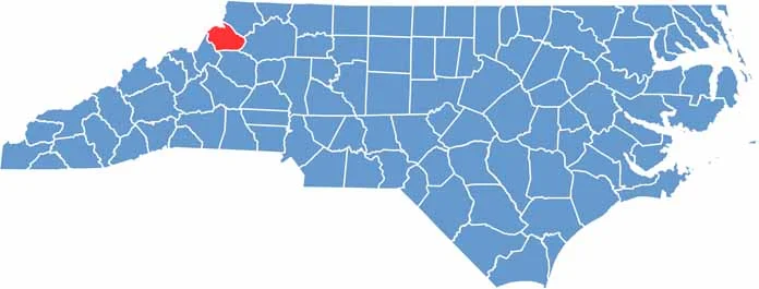

CategoryDetails
County NameWatauga County
County SeatBoone
EtymologyNamed after the Watauga River
Cities, Towns, and CommunitiesBoone, Blowing Rock, Seven Devils, Vilas
Interstates and HighwaysU.S. Route 321, North Carolina Highway 105
FIPS Code37-189
Total Area313 square miles (land and water)
Adjacent CountiesAshe County (Northeast), Wilkes County (East), Caldwell County (South), Avery County (Southwest), Johnson County, Tennessee (Northwest)
Time ZoneEastern Time Zone
StateNorth Carolina
Coordinates36.2160° N, 81.6746° W
Major LandmarksAppalachian State University, Tweetsie Railroad
PopulationApproximately 60,000
Scroll to Top