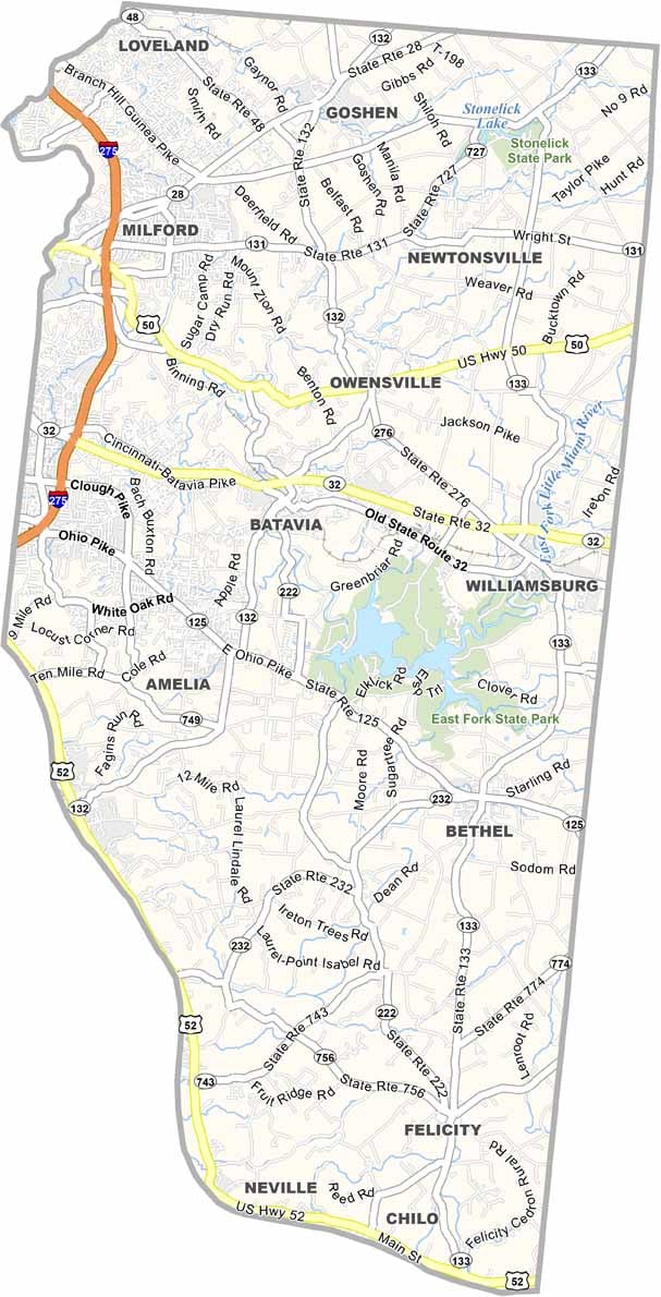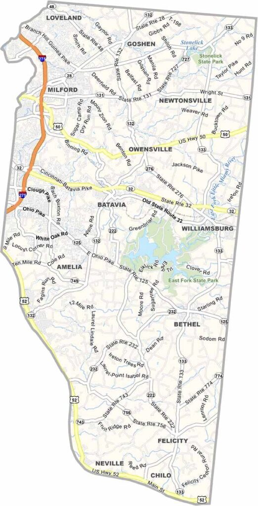
Clermont County Map, Ohio

Clermont County, Ohio

Clermont County hugs the Ohio River in the southwestern corner of the state, with Kentucky directly to the south. Rural farmland fills the east, while the bustling suburbs of Cincinnati stretch across the west.

The county has a rich history dating back to the days of the Underground Railroad. These days, it’s known for its excellent parks and nature preserves. East Fork State Park is a local favorite for boating and hiking, and William H Harsha Lake is the park’s main attraction.

Clermont County is also home to the Clermont County Fairgrounds, which hosts events year-round. The villages of New Richmond and Neville sit nicely along the Ohio River in the south, and wineries dot the countryside, taking advantage of the area’s unique microclimate.
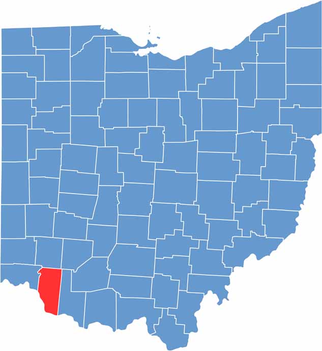

Clermont County location map of Ohio
CategoryDetails
County NameClermont County
County SeatBatavia
EtymologyNamed after the French words for “clear mountain”
Cities, Towns, and CommunitiesBatavia, Milford, Amelia, Goshen
Interstates and HighwaysInterstate 275, U.S. Highway 50, State Route 32
FIPS Code39-025
Total Area459 square miles (land and water)
Adjacent CountiesBrown County (East), Bracken County, Kentucky (South), Pendleton County, Kentucky (Southwest), Campbell County, Kentucky (Southwest), Hamilton County (West), Warren County (North), Clinton County (Northeast)
Time ZoneEastern Time Zone
StateOhio
Coordinates39.0505° N, 84.2126° W
Major LandmarksEast Fork State Park, Cincinnati Nature Center
PopulationApproximately 210,000
Scroll to Top