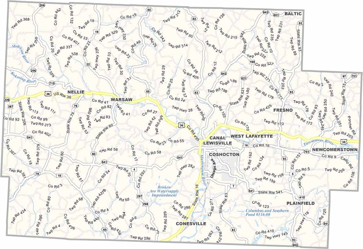
Coshocton County Map, Ohio

Coshocton County, Ohio

Coshocton County lies in east-central Ohio, a place where history comes alive. The county was once home to a thriving canal system, and you can still ride a canal boat today at Roscoe Village.

Coshocton is also known for its beautiful covered bridges. Agriculture plays a big role in the local economy, with the county producing everything from corn to Christmas trees.

For anyone who loves the outdoors, there’s plenty to do. Woodbury Wildlife Area offers hunting and fishing, and the Walhonding Valley is a kayaker’s paradise. Coshocton’s annual Hot Air Balloon Festival is a sight to behold.
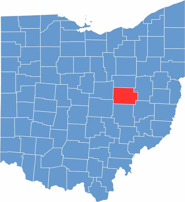

Coshocton County location map of Ohio
CategoryDetails
County NameCoshocton County
County SeatCoshocton
EtymologyName derived from Delaware Indian word meaning “union of waters”
Cities, Towns, and CommunitiesCoshocton, Newcomerstown, Warsaw, West Lafayette
Interstates and HighwaysU.S. Highway 36, U.S. Highway 62, State Route 16
FIPS Code39-031
Total Area564 square miles (land and water)
Adjacent CountiesHolmes County (North), Tuscarawas County (East), Guernsey County (Southeast), Muskingum County (South), Licking County (Southwest), Knox County (West)
Time ZoneEastern Time Zone
StateOhio
Coordinates40.2706° N, 81.8494° W
Major LandmarksRoscoe Village, Coshocton County Fairgrounds
PopulationApproximately 35,000
Scroll to Top