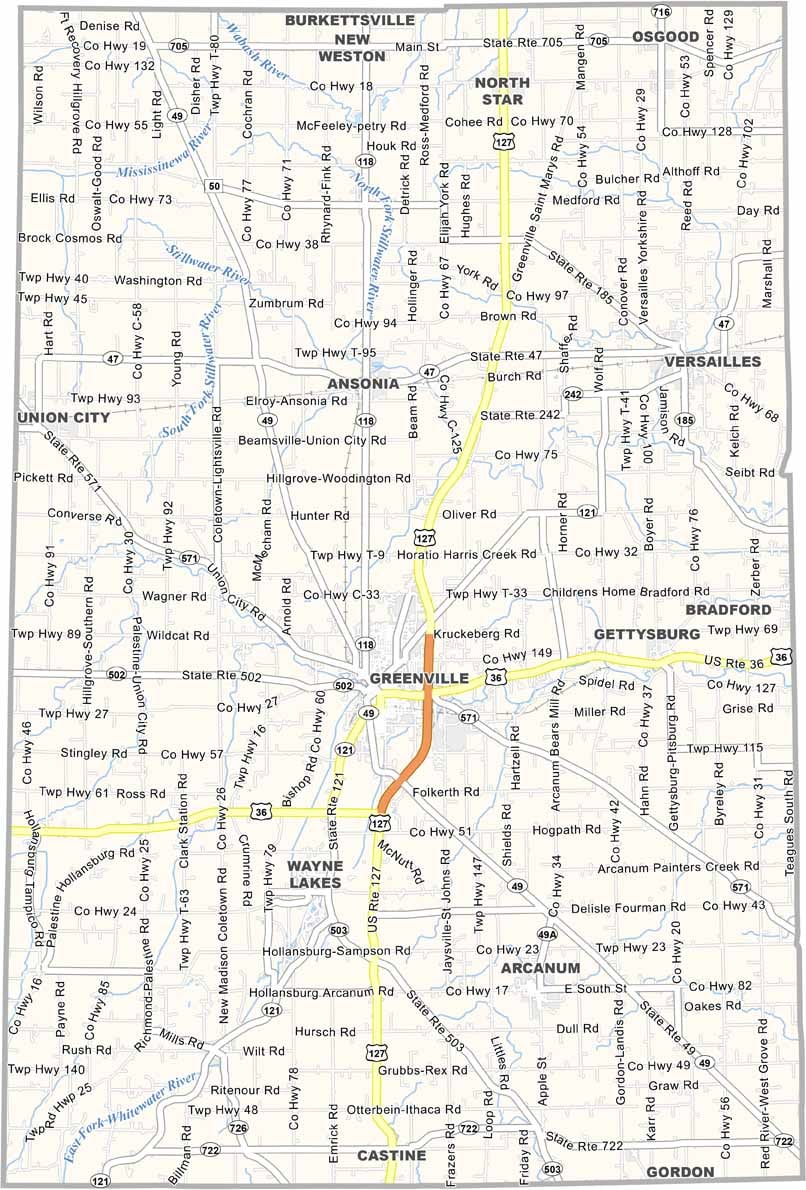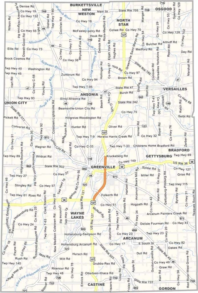
Darke County Map, Ohio

Darke County, Ohio

Darke County sits in western Ohio, right up against the Indiana border, and it’s all about rural beauty. Greenville, the county seat, is famous as the hometown of sharpshooter Annie Oakley, and her legacy is celebrated every year with a festival.

Agriculture is the backbone of Darke County, with fields of corn, soybeans, and wheat stretching to the horizon. The Great Darke County Fair is a big deal around here, and it’s one of the oldest and largest county fairs in Ohio.

For nature lovers, Shawnee Prairie Preserve is a great spot for hiking and bird watching. Darke County also has a strong Amish community. Despite its rural character, the county holds a few surprises, including the fact that the KitchenAid stand mixer is manufactured right here in Greenville.
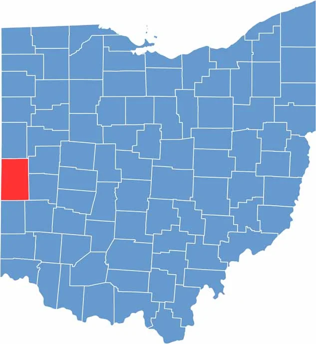

Darke County location map of Ohio
CategoryDetails
County NameDarke County
County SeatGreenville
EtymologyNamed after General William Darke
Cities, Towns, and CommunitiesGreenville, Versailles, Ansonia, Arcanum
Interstates and HighwaysU.S. Highway 36, U.S. Highway 127, State Route 49
FIPS Code39-037
Total Area604 square miles (land and water)
Adjacent CountiesMercer County (North), Shelby County (Northeast), Miami County (East), Montgomery County (Southeast), Preble County (South), Wayne County, Indiana (Southwest), Randolph County, Indiana (West), Jay County, Indiana (Northwest)
Time ZoneEastern Time Zone
StateOhio
Coordinates39.7560° N, 84.6299° W
Major LandmarksDarke County Fairgrounds, Garst Museum
PopulationApproximately 55,000
Scroll to Top