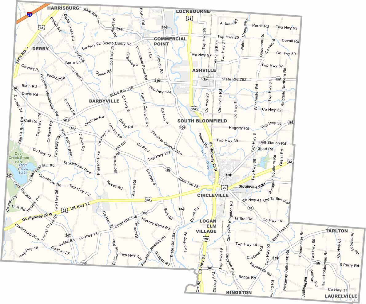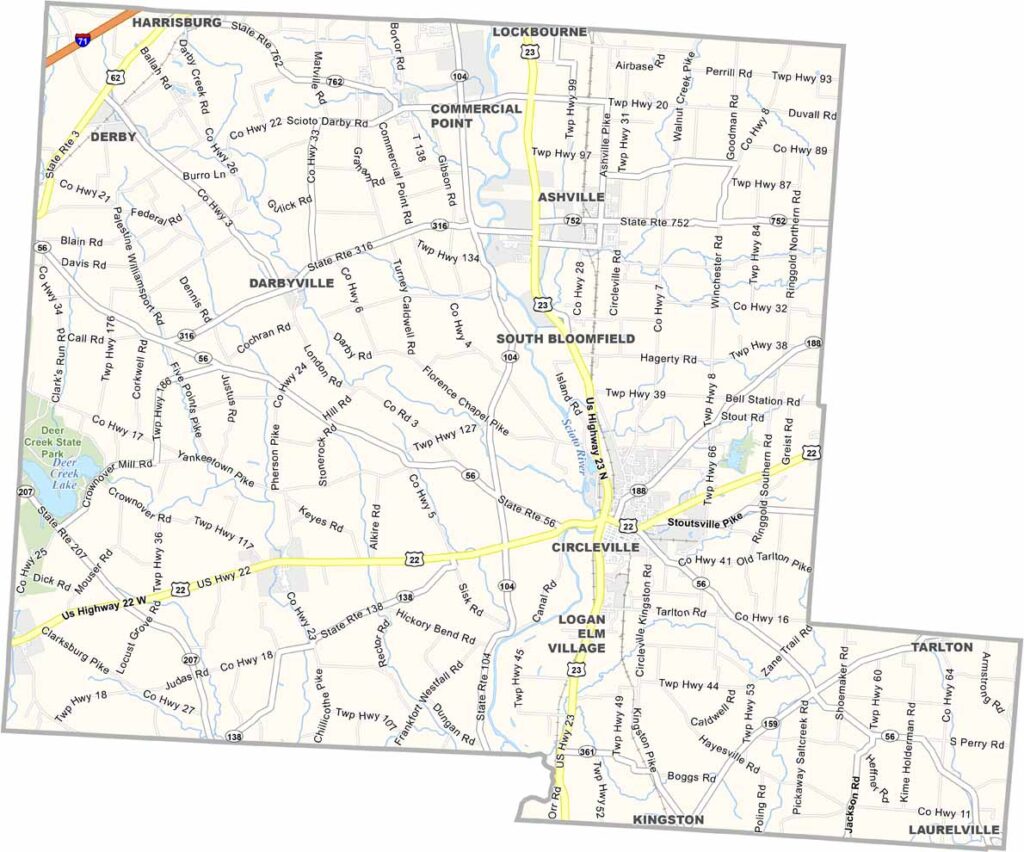
Pickaway County Map, Ohio

Pickaway County, Ohio

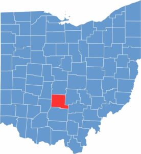
Pickaway County is in the heart of Ohio, south of Columbus. Circleville, the county seat, is famous for its Pumpkin Show, which is a big deal around here.

The county has deep agricultural roots, and you can see it in the vast farmlands. Manufacturing plays a role in the local economy too. Deer Creek State Park is a nice escape for nature lovers in the west.

The county is named after a band of the Shawnee people. Pickaway County has seen some growth due to its proximity to Columbus, but it still maintains its rural charm. People here value their quality of life.

CategoryDetails
County NamePickaway County
County SeatCircleville
EtymologyNamed after the Pickaway (Piqua) tribe of Native Americans
Cities, Towns, and CommunitiesCircleville, Ashville, South Bloomfield, Williamsport
Interstates and HighwaysU.S. Highway 23, U.S. Highway 22, State Route 104
FIPS Code39-129
Total Area502 square miles (land and water)
Adjacent CountiesFranklin County (North), Fairfield County (East), Hocking County (Southeast), Ross County (South), Fayette County (Southwest), Madison County (Northwest)
Time ZoneEastern Time Zone
StateOhio
Coordinates39.6066° N, 82.9343° W
Major LandmarksAdena Mansion and Gardens, Pickaway County Fairgrounds
PopulationApproximately 58,000
Scroll to Top