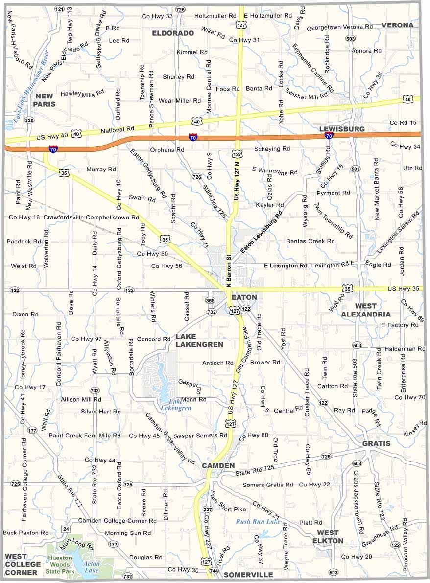
Preble County Map, Ohio

Preble County, Ohio

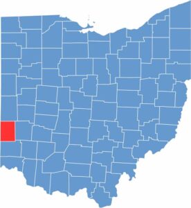
Preble County lies on Ohio’s western edge, bordering Indiana. Eaton serves as the county seat. The historic Fort St. Clair is a local point of pride, just outside Eaton.

It’s mostly rural, and farming is the main economic driver here. The Preble County Pork Festival draws crowds every year, celebrating the area’s agricultural and pork heritage. Manufacturing plays a role in the local economy too.

Preble County is named after Edward Preble, a naval commander. You’ll find some beautiful covered bridges scattered around. People here value their small-town way of life.

CategoryDetails
County NamePreble County
County SeatEaton
EtymologyNamed after Captain Edward Preble, a Naval commander in the Revolutionary War
Cities, Towns, and CommunitiesEaton, Camden, West Alexandria, New Paris
Interstates and HighwaysU.S. Highway 127, State Route 122, State Route 35
FIPS Code39-135
Total Area425 square miles (land and water)
Adjacent CountiesDarke County (North), Montgomery County (East), Butler County (South), Union County, Indiana (Southwest), Wayne County, Indiana (Northwest)
Time ZoneEastern Time Zone
StateOhio
Coordinates39.7387° N, 84.6203° W
Major LandmarksPreble County Fairgrounds, Twin Valley Distillery
PopulationApproximately 42,000
Scroll to Top