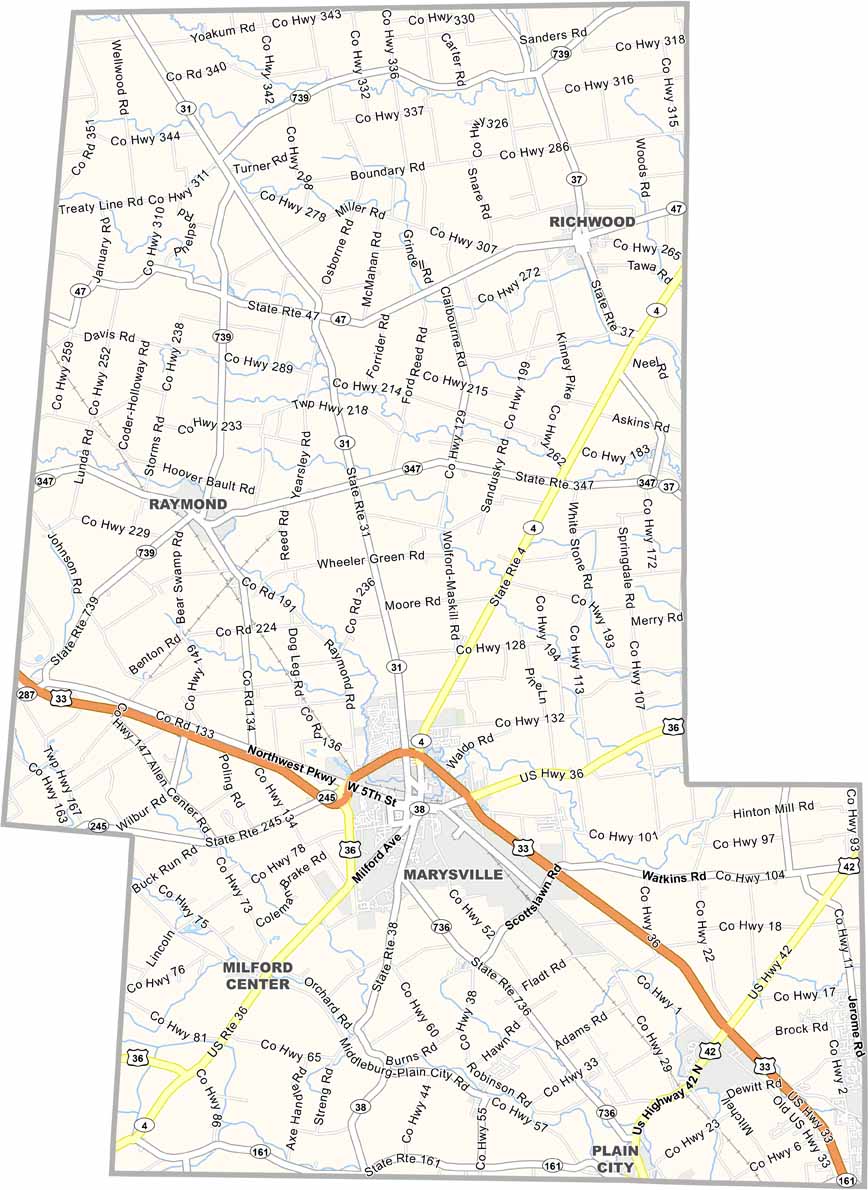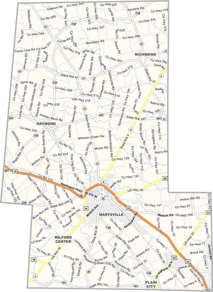
Union County Map, Ohio

Union County, Ohio

Union County is located in central Ohio, with Marysville serving as the county seat. It’s one of the state’s fastest-growing counties, while natural beauty can still be found along places like Big Darby Creek.

Honda has a significant presence in the county. Its manufacturing plant provides numerous jobs and contributes to the local economy. Despite the growth, Marysville’s uptown area still maintains much of its rural character.

While industry continues to thrive, agriculture remains important as well. Corn and soybeans are common across the landscape. The Scotts Miracle-Gro Company is also headquartered in Marysville.
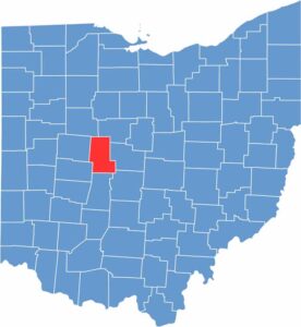

Union County location map of Ohio
CategoryDetails
County NameUnion County
County SeatMarysville
EtymologyNamed after its formation by a union of four counties
Cities, Towns, and CommunitiesMarysville, Plain City, Richwood, Magnetic Springs
Interstates and HighwaysU.S. Highway 33, State Route 4, State Route 36
FIPS Code39-159
Total Area437 square miles (land and water)
Adjacent CountiesMarion County (Northeast), Delaware County (East), Franklin County (Southeast), Madison County (South), Champaign County (Southwest), Logan County (West), Hardin County (Northwest)
Time ZoneEastern Time Zone
StateOhio
Coordinates40.2660° N, 83.3792° W
Major LandmarksUnion County Historical Society, Memorial Park
PopulationApproximately 60,000
Scroll to Top