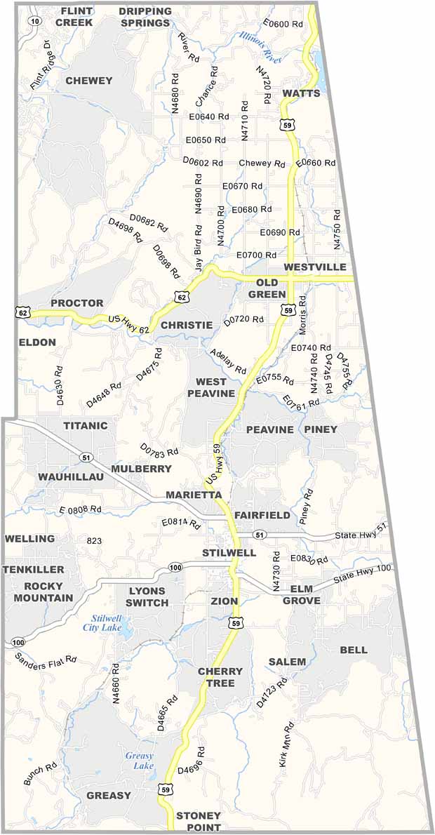
Adair County Map, Oklahoma

Adair County, Oklahoma

Adair County sits in the eastern part of Oklahoma, right along the Arkansas border. It's a place where the Ozark Mountains start to roll into the state.

Stilwell, the county seat, calls itself the "Strawberry Capital of the World." No joke, they grow some seriously good berries here.

The county has a rich Native American heritage, with a large Cherokee population. Outdoor lovers, listen up: this place is a playground for fishing, hiking, and camping. Stilwell City Lake is a big draw, perfect for a summer picnic.
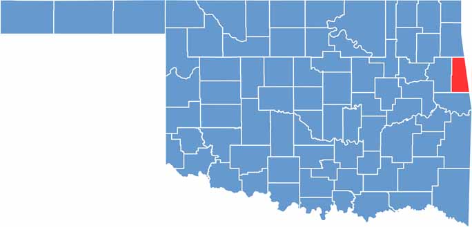

Location map of Adair County, Oklahoma
CategoryDetails
County NameAdair County
County SeatStilwell
EtymologyNamed after William Penn Adair, Cherokee tribal leader
Cities, Towns, and CommunitiesStilwell, Westville, Peggs, Cherokee
Interstates and HighwaysU.S. Highway 59, State Route 51, State Route 82
FIPS Code40-001
Total Area577 square miles (land and water)
Adjacent CountiesDelaware County (North), Benton County, Arkansas (Northeast), Washington County, Arkansas (East), Crawford County, Arkansas (Southeast), Sequoyah County (South), Cherokee County (West)
Time ZoneCentral Time Zone
StateOklahoma
Coordinates35.7518° N, 94.7106° W
Major LandmarksOzark National Forest, Tenkiller Ferry Lake
PopulationApproximately 23,000
Scroll to Top