
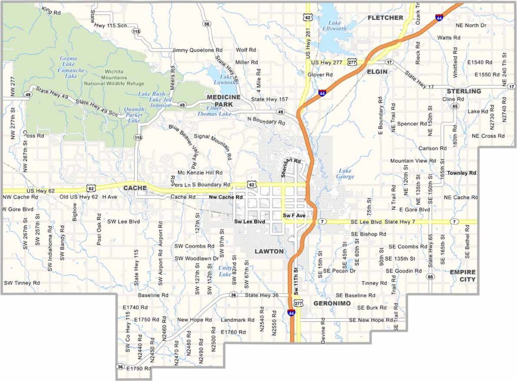
Comanche County lies in southwestern Oklahoma, where the plains meet the Wichita Mountains. It is a place of surprising contrasts.
Lawton, the county seat, is home to Fort Sill, a major Army post, and the military presence is huge. Drive a few miles out of town, though, and you're in bison country.
The Wichita Mountains Wildlife Refuge is a standout, with rugged peaks rising from the prairie, and visitors love it. Hikers, climbers, and wildlife photographers come year-round. Medicine Park is a quirky little town that has turned into a tourist hotspot.
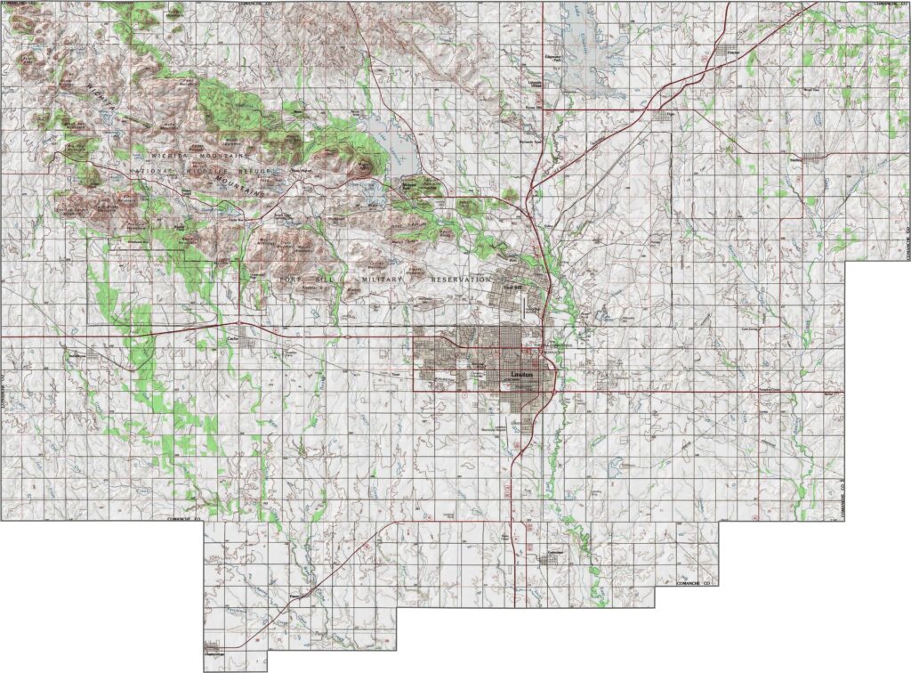
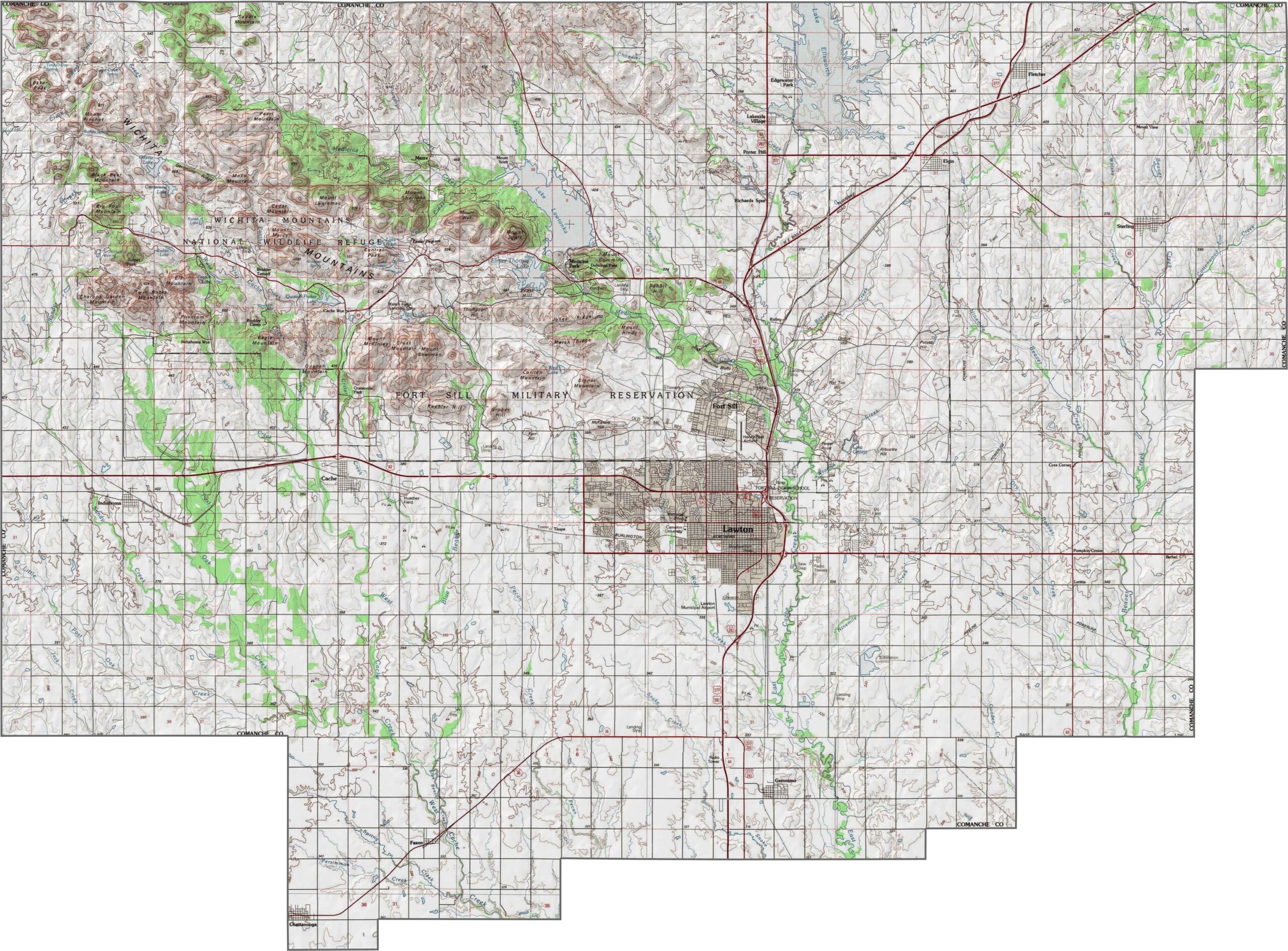
Comanche County is anything but flat. The Wichita Mountains rise in the northwest, and elevations vary widely, especially around the wildlife refuge. It is one of the most geologically interesting areas in Oklahoma.
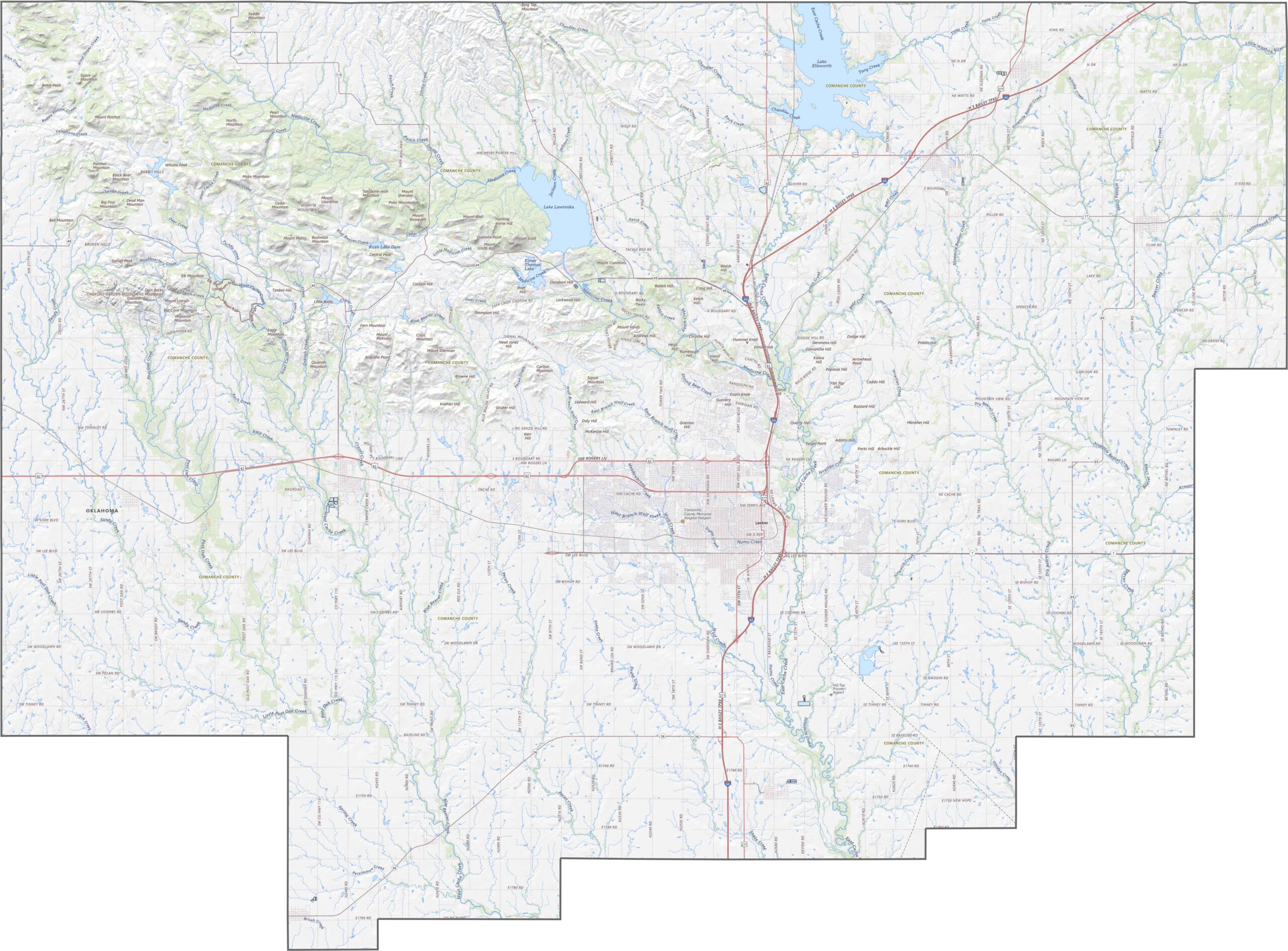
Comanche County has a strong road network anchored by Interstate 44, which cuts through the county from northeast to southwest. U.S. Highway 62 also runs east to west, but it makes a wider sweep through Lawton.
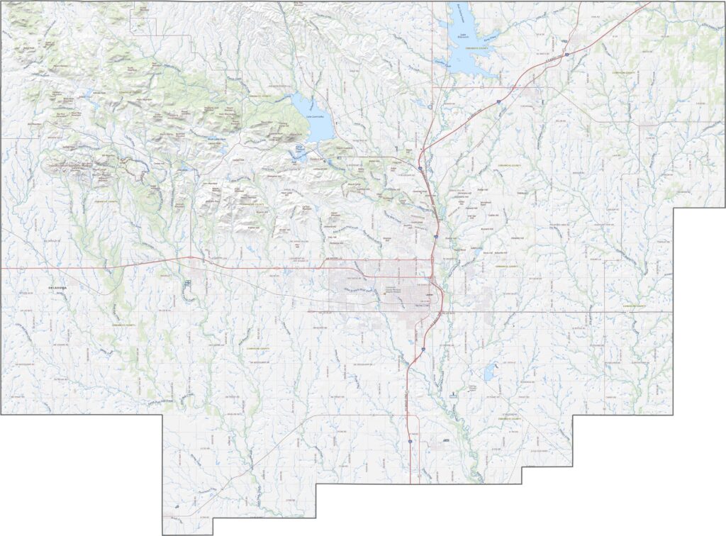
The urban area of Lawton fills the middle, though green parks and military land break up the grid. Elsewhere in the county you'll see farms, scattered trees, and straight-line roads. It is a mix of wild terrain and human-made order.
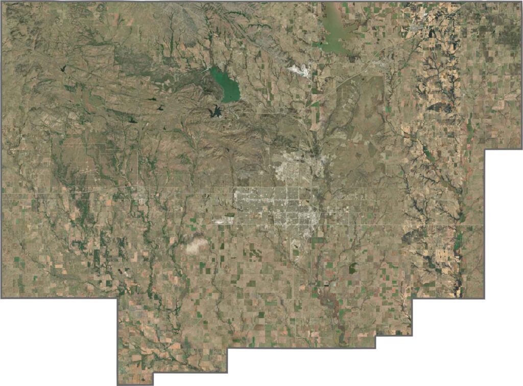
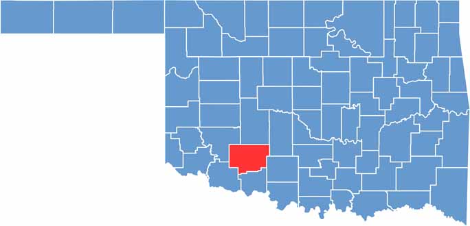
Comanche County has a blocky look, like a jagged rectangle. It lies close to Texas but does not share a border with it. Its unusual shape makes it stand out on any map.









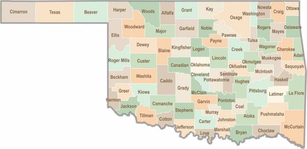
Oklahoma’s 77 counties are all a little different. One might welcome you with a grain elevator, while another greets you with murals, fry bread, and a packed Friday night football crowd.