
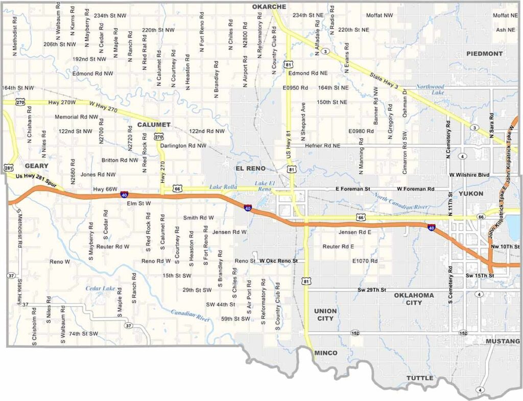
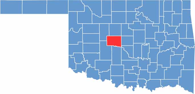
Canadian County lies just west of Oklahoma City, where the suburbs fade into open prairie. It is one of the fastest-growing counties in the state.
New residents are arriving in large numbers. El Reno is one of the larger towns and is well known for its onion burgers, which are worth the drive.
The county's history runs deep. Fort Reno, a former cavalry post, still stands, and it's easy to imagine the echo of horse hooves. The Chisholm Trail once passed straight through the area.
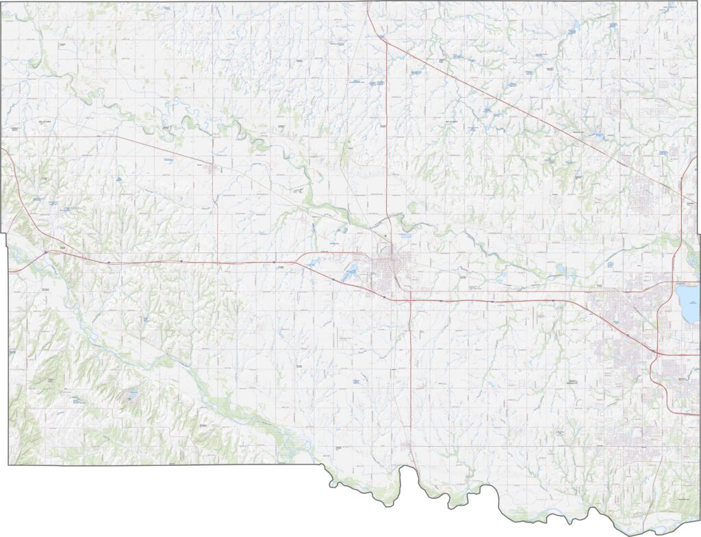
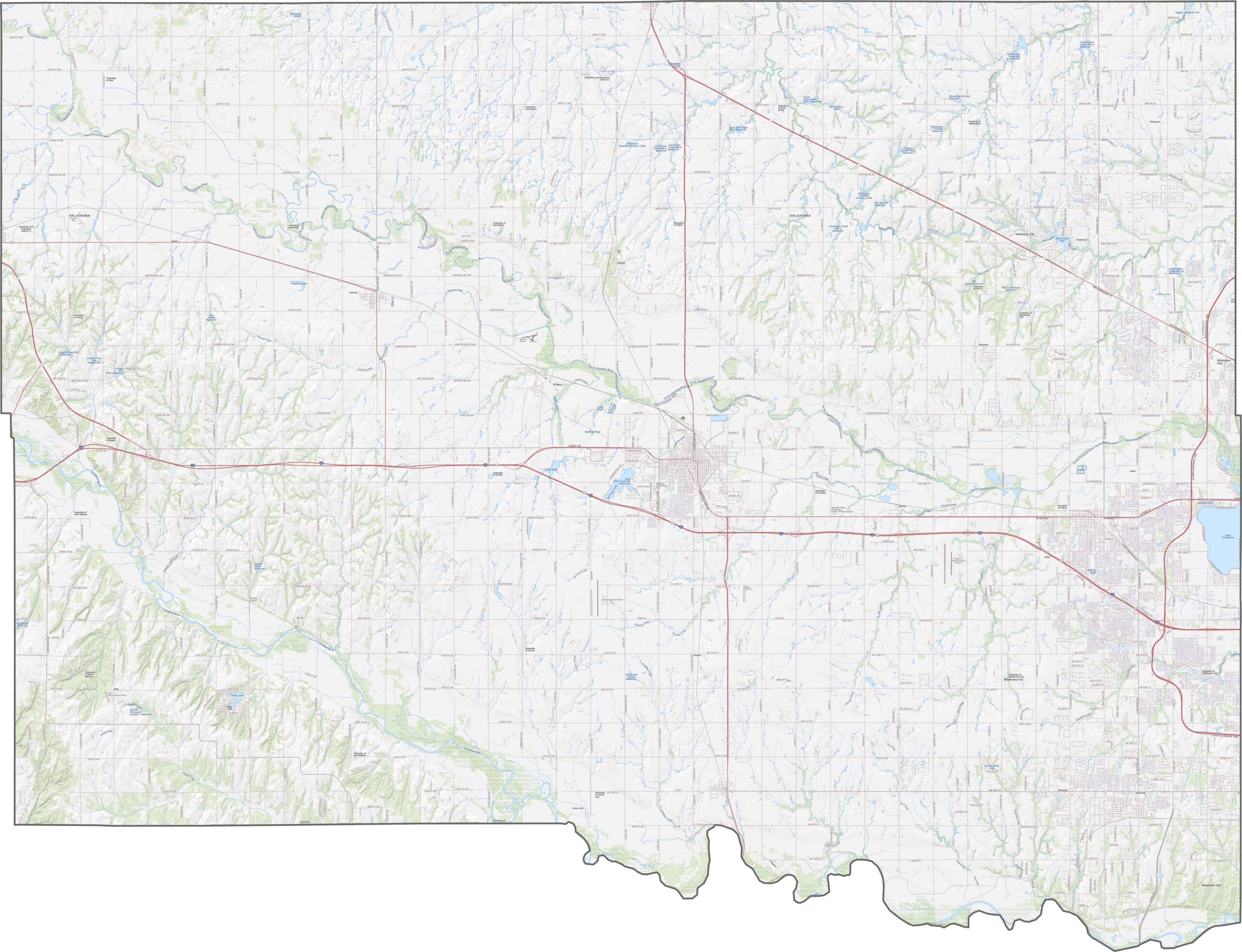
Canadian County is crisscrossed by major routes. Interstate 40 runs east to west straight through the middle, and State Highway 66, the old Route 66, still carries travelers across the county. Use the zoom tool on our map for a closer look at how everything connects.
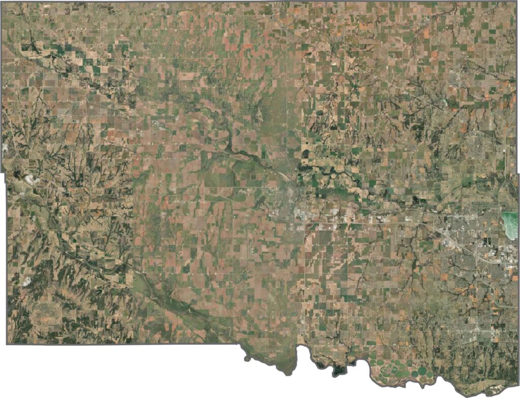
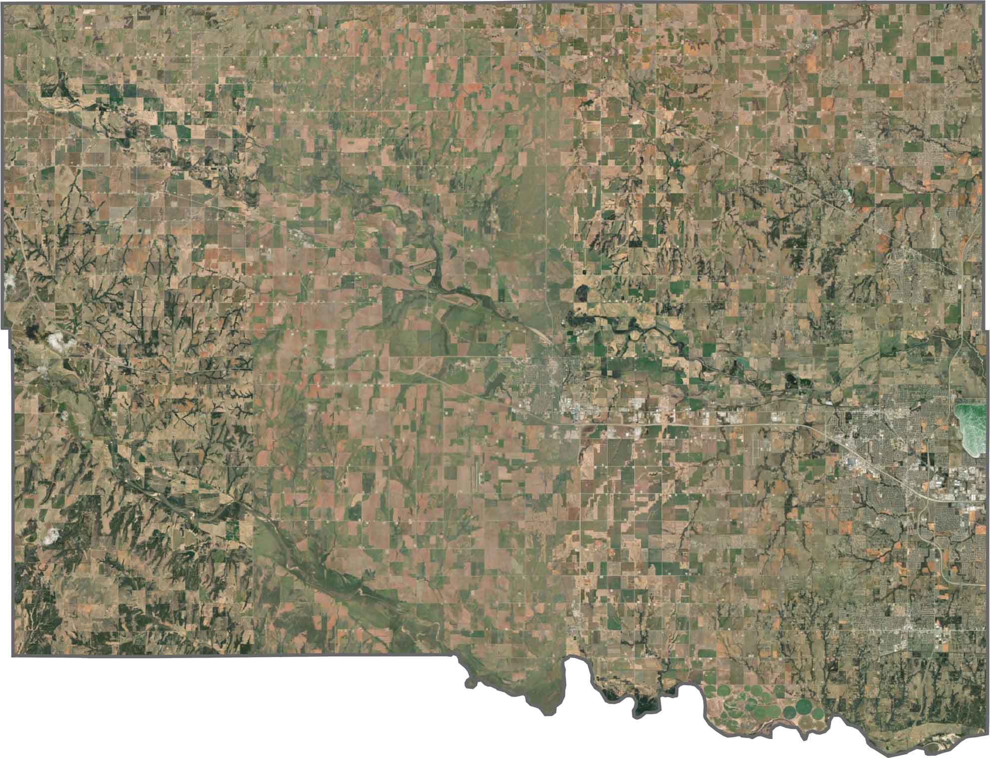
From above, Canadian County shows a blend of rural land and growing suburbs. El Reno and Yukon stand out in the east with dense development, but most of the county remains open farmland. Fields cover the west, with roads tracing tidy grids.
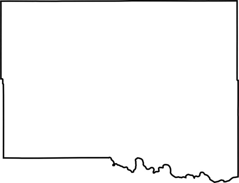
Canadian County has a broad, blocky shape with some curves along its southern edge. The Canadian River defines half of the southern boundary. Most borders follow survey lines, but the river gives the county its name and a bit of extra character.








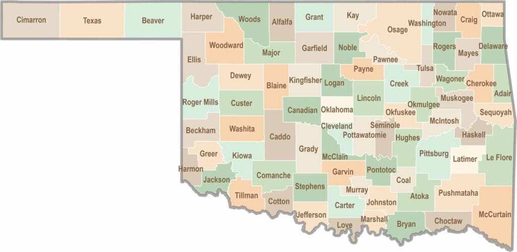
Oklahoma’s 77 counties are all a little different. One might welcome you with a grain elevator, while another greets you with murals, fry bread, and a packed Friday night football crowd.