
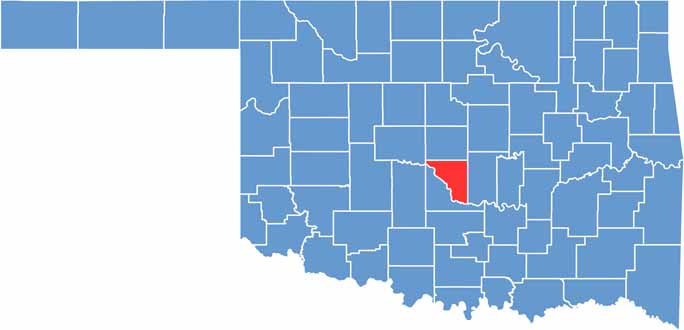
Cleveland County sits in the middle of Oklahoma and belongs to the Oklahoma City metro area, though it is far from all urban sprawl.
Norman, the county seat, is home to the University of Oklahoma, and game days when the Sooners play are full of energy. The Sam Noble Oklahoma Museum of Natural History is a must-see stop.
Its collections range from dinosaur bones to Native American artifacts. Lake Thunderbird State Park offers an easy escape from city life, with hiking, fishing, or simply relaxing by the water. The National Weather Center is also based here, tracking Oklahoma's notorious storms.
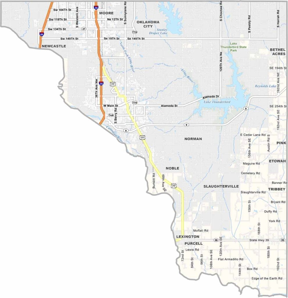
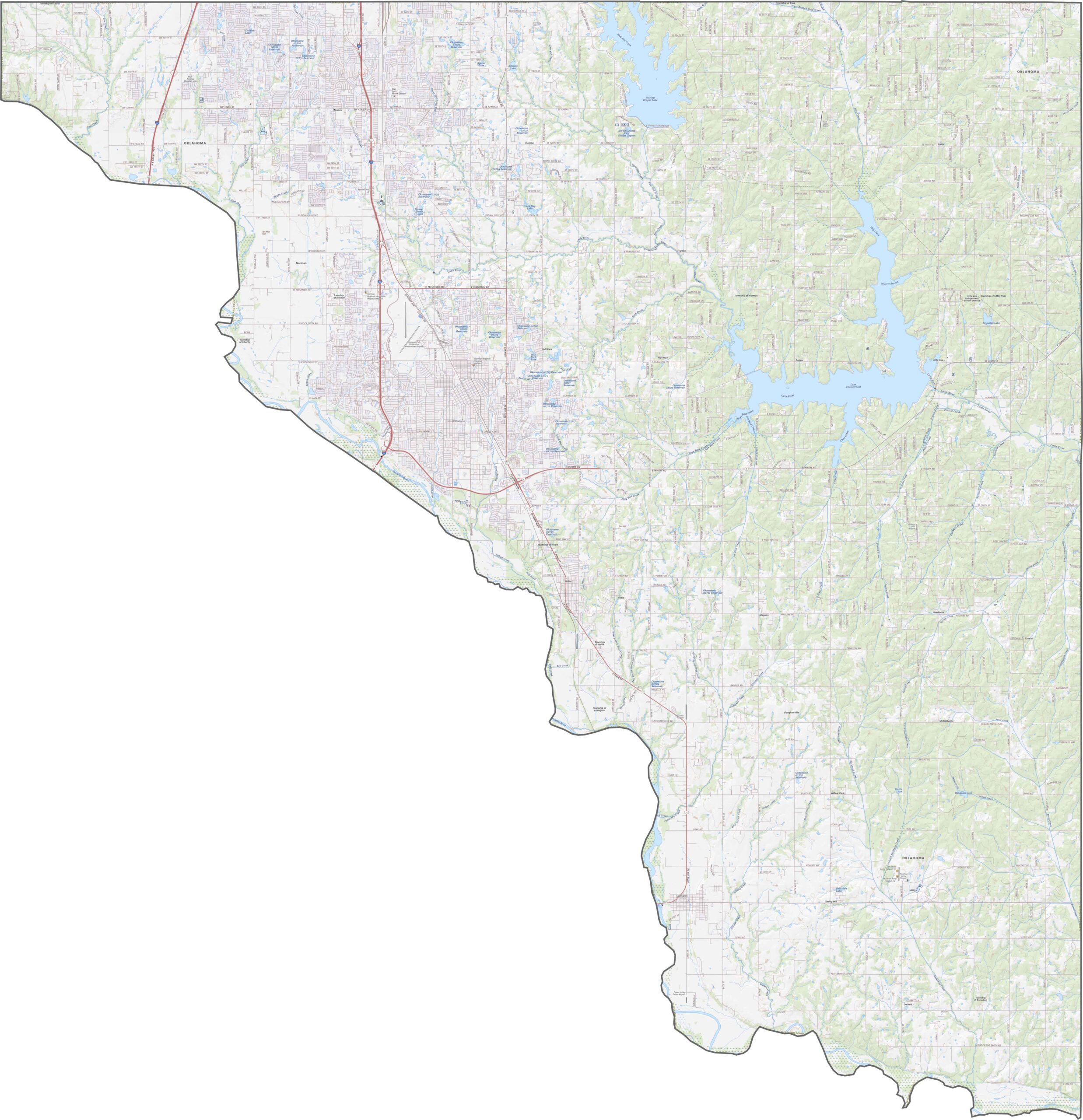
Cleveland County has a busy highway system for its size. Interstate 35 and Interstate 44 run straight through the western half. Although it is not the largest county in Oklahoma, it holds a great many roads. Zoom in on the map to follow each one.
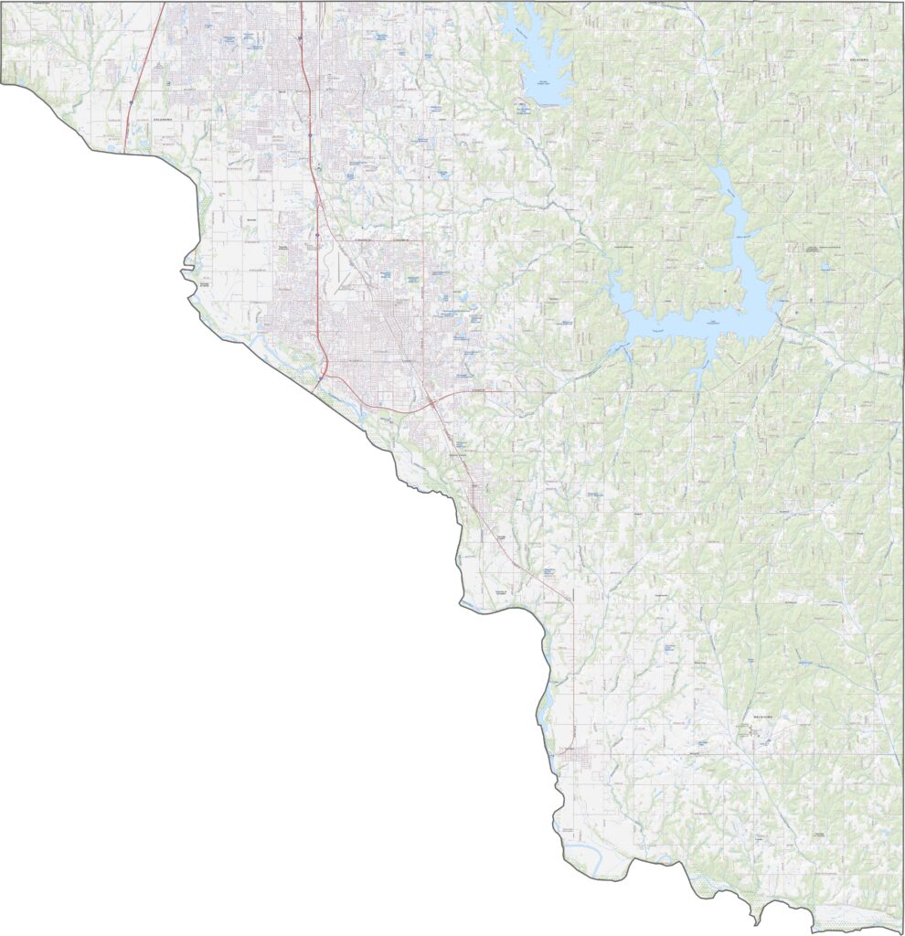
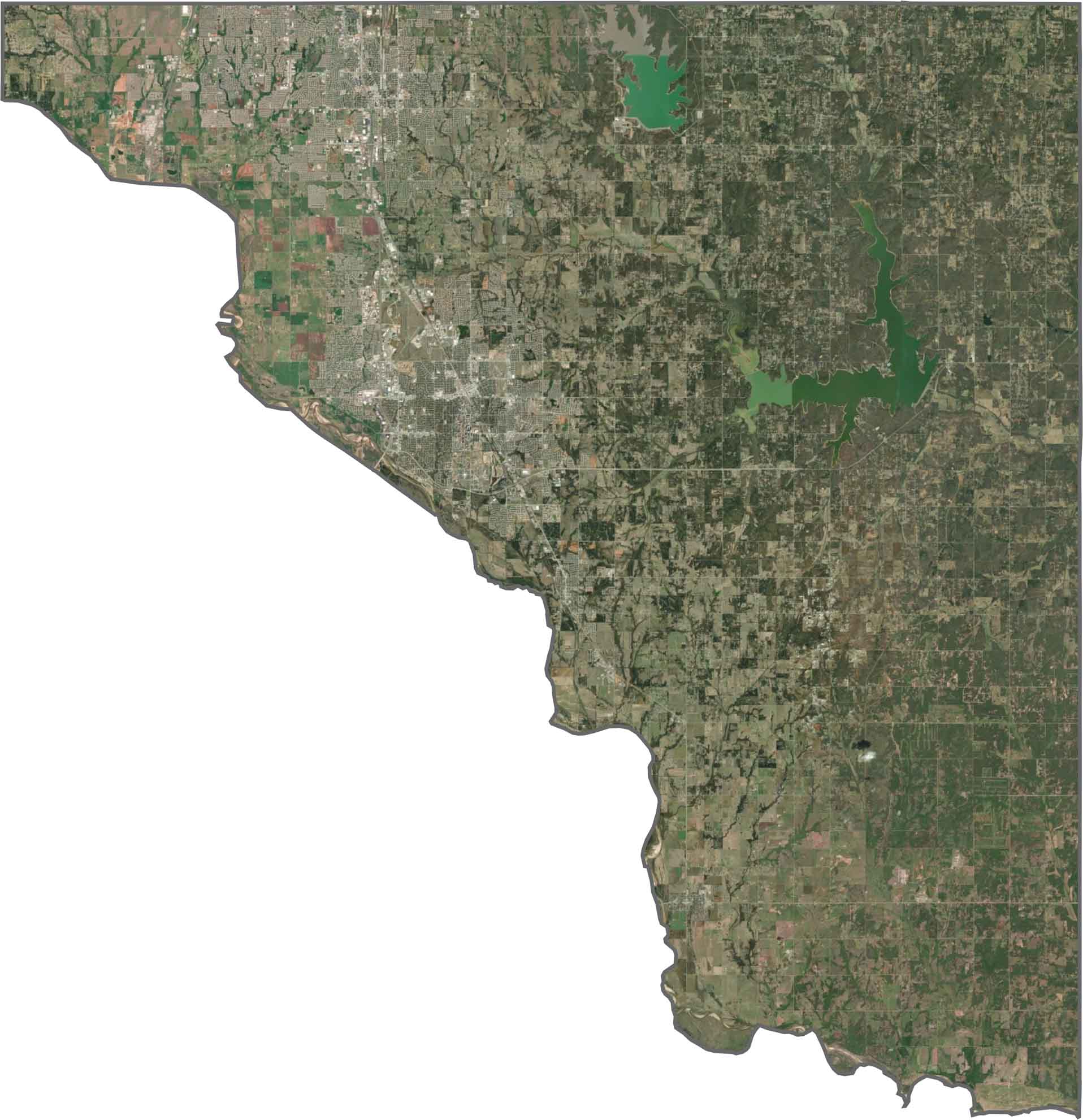
Urban development covers much of the center, but plenty of green space remains. The Canadian River marks the western border. The eastern side looks more rural, with fields and scattered lakes such as Lake Thunderbird.
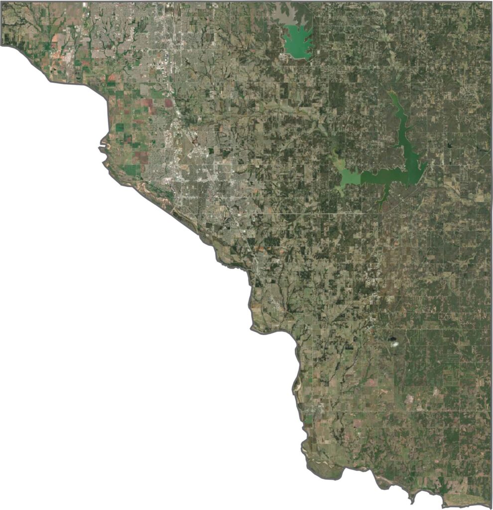
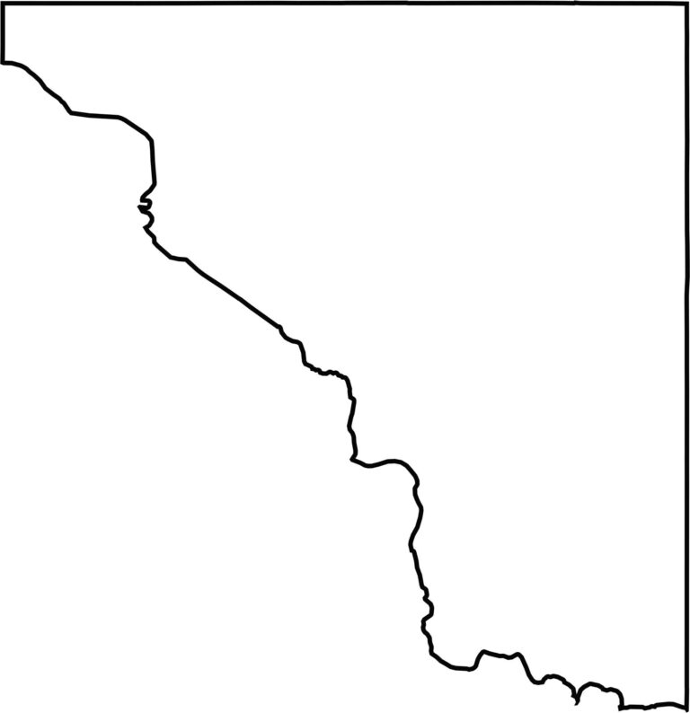
Cleveland County has a triangular shape. The southern boundary follows the Canadian River, which gives it a curved edge. Unlike many counties, it combines both natural and straight-line boundaries.








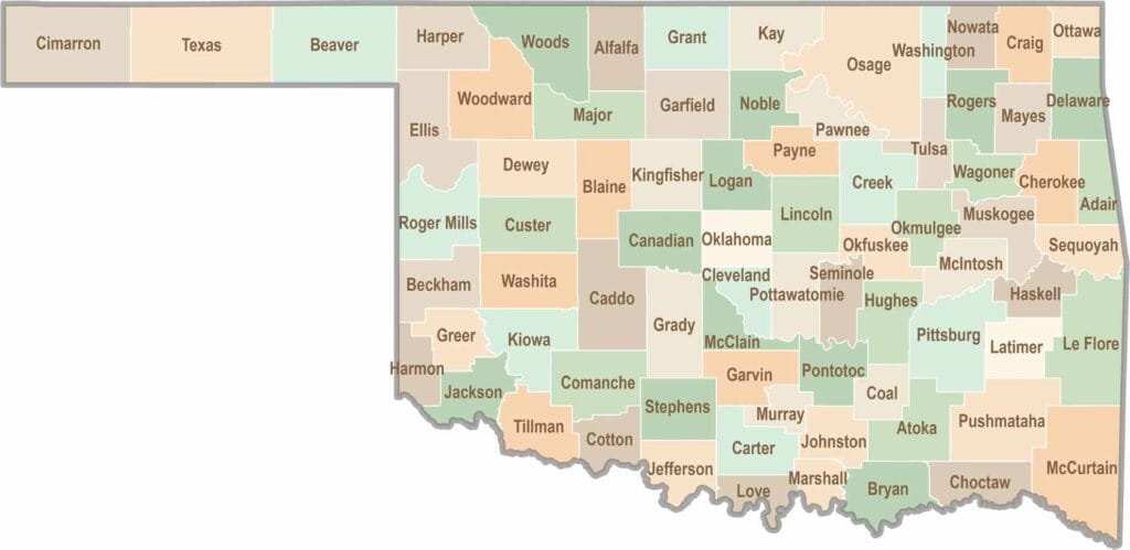
Oklahoma’s 77 counties are all a little different. One might welcome you with a grain elevator, while another greets you with murals, fry bread, and a packed Friday night football crowd.