
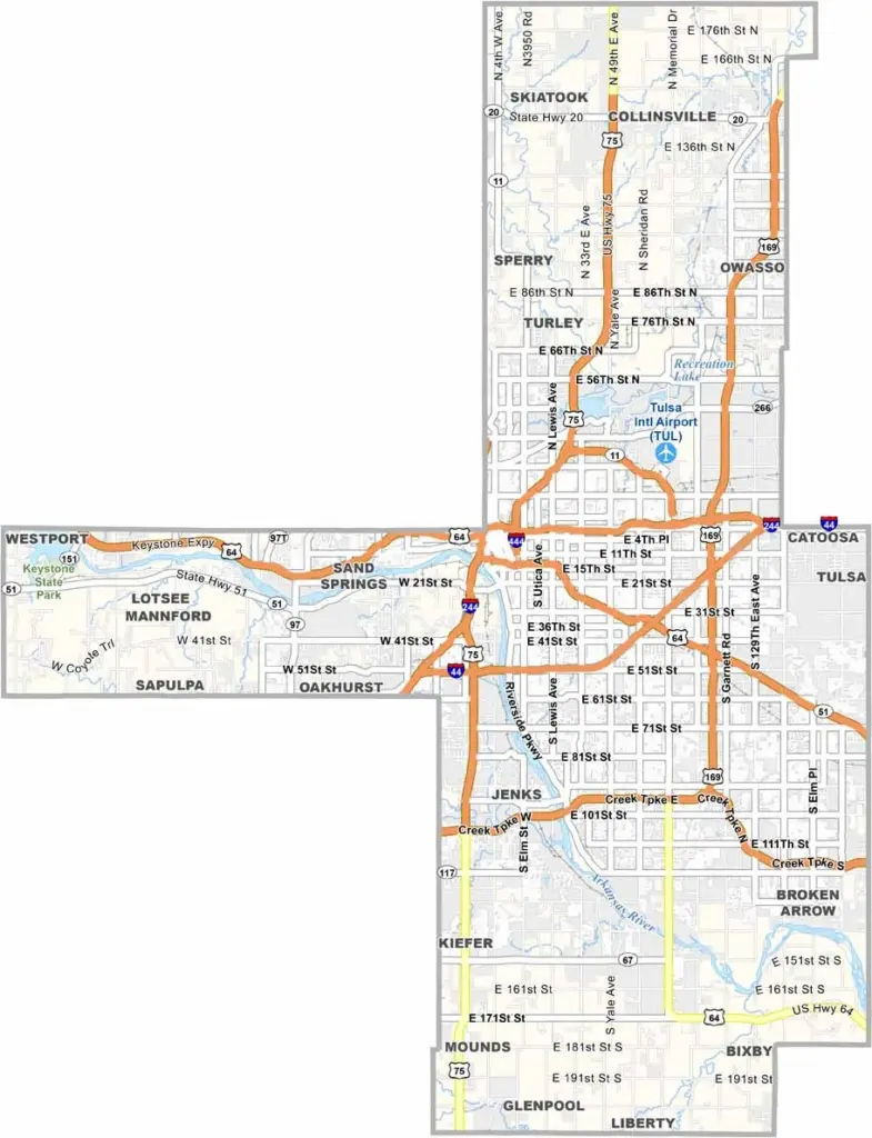
The beating heart of northeastern Oklahoma is Tulsa County, where old oil wealth blends with modern tech startups. Downtown Tulsa’s Art Deco skyline reflects a history of boom times and ambitious dreams.
The Arkansas River runs through the county, forming the city’s backbone. But it’s not all urban development. Turkey Mountain provides miles of trails just minutes from downtown. In the county’s southeast, Broken Arrow has grown rapidly and now feels like a city in its own right.
Oil remains important here, but aerospace has become a major industry. Tulsa’s food scene is thriving, with everything from food trucks to fine dining. And the music runs deep, from Bob Wills to Leon Russell, giving the area strong musical roots. Tulsa County has something for everyone.
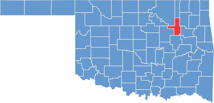
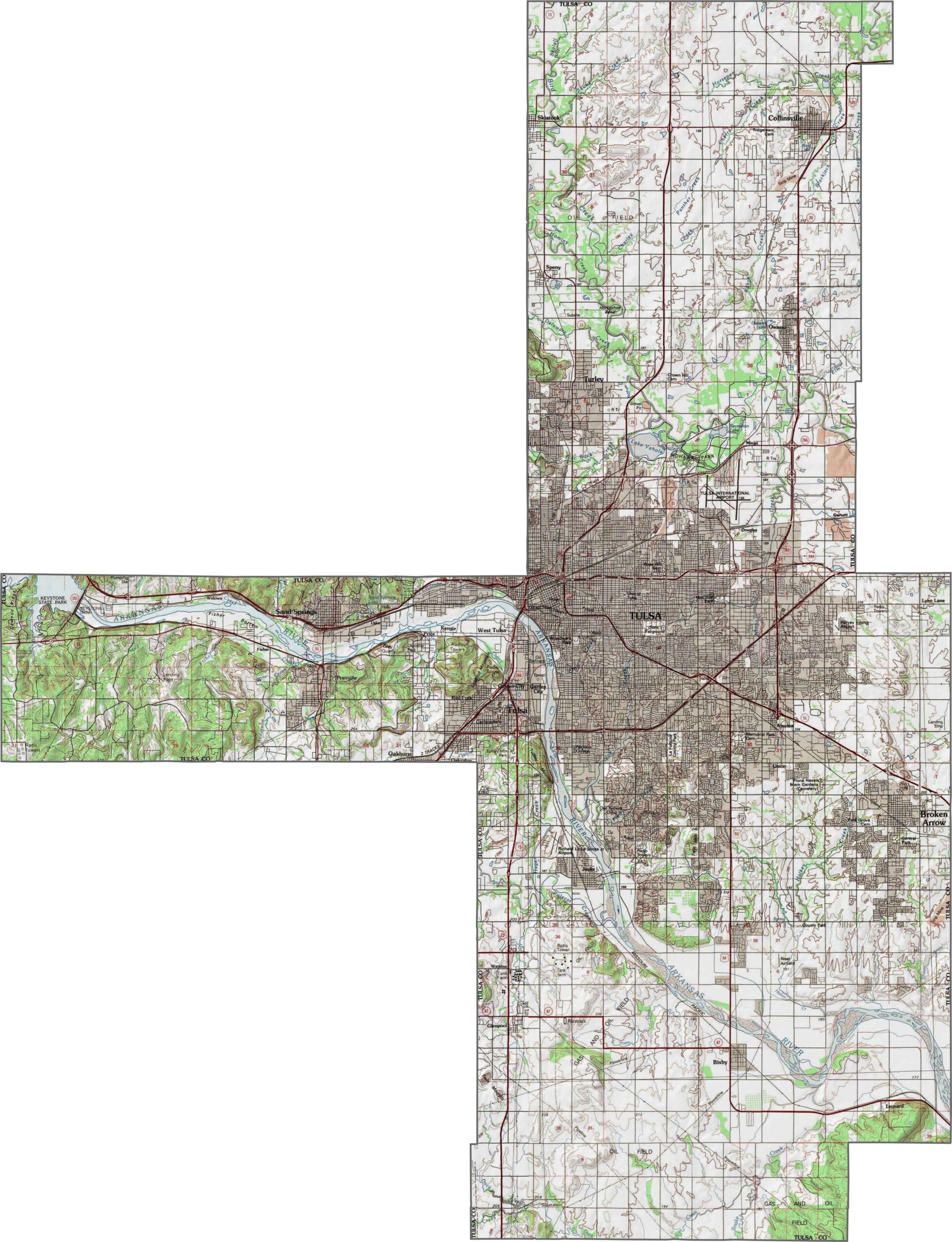
Tulsa County has gentle hills and broad stream valleys. The terrain isn’t mountainous, but it’s not completely flat either. The Arkansas River runs through the western half, giving the landscape a gradual slope.
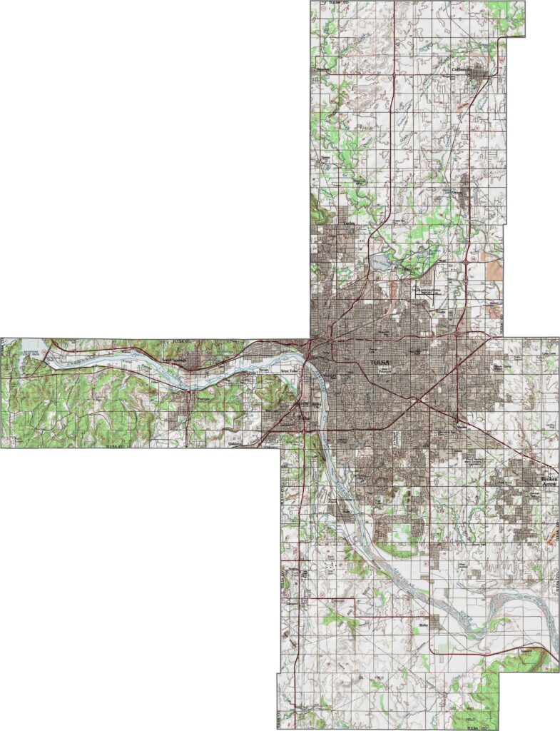
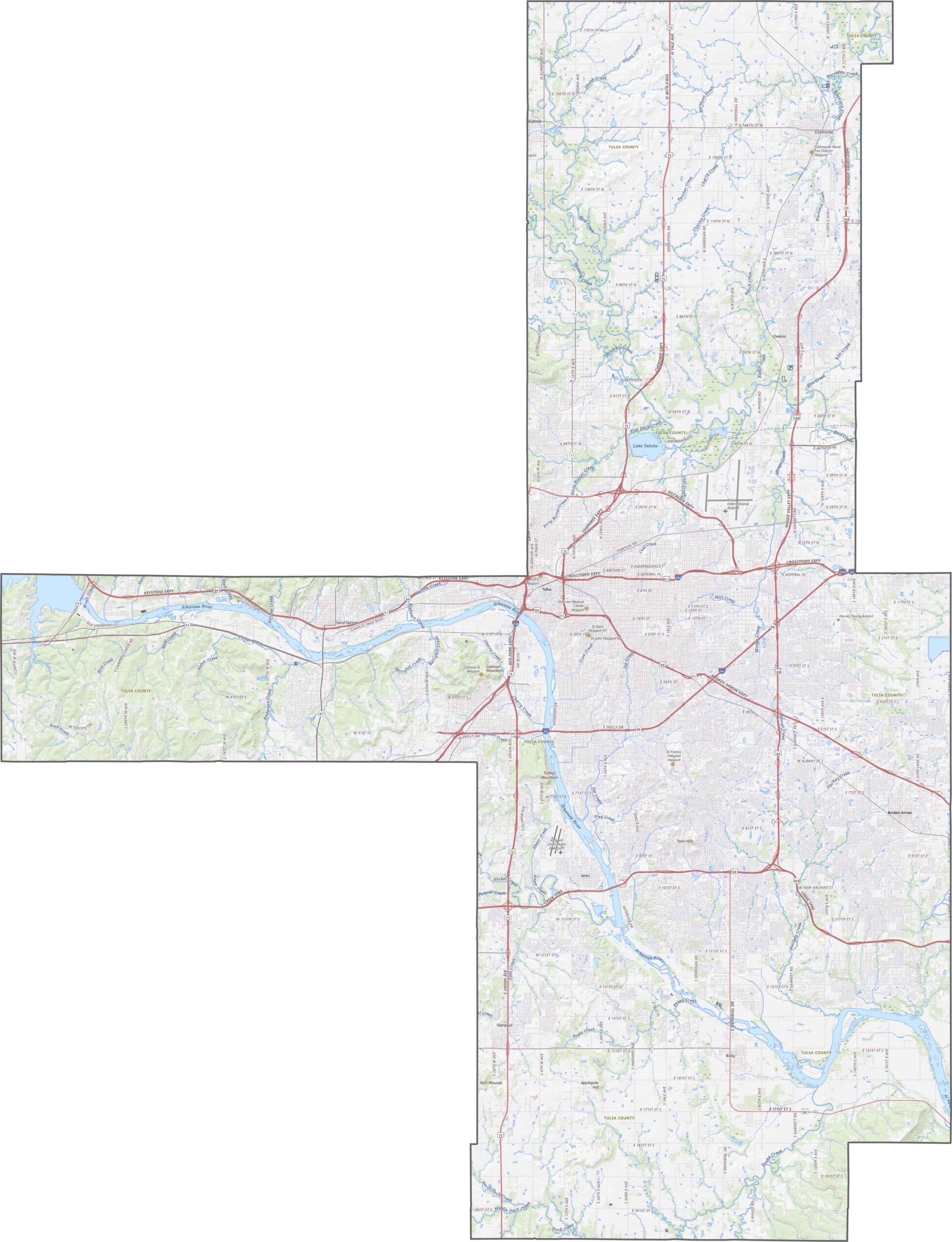
Tulsa County has an extensive highway network. I-44 runs from the southwest toward the northeast, while U.S. 75 travels north to south through Tulsa. Other major routes include U.S. 64, U.S. 169, and I-244. Our zoom tool makes it easy to explore the county’s highways and roads.
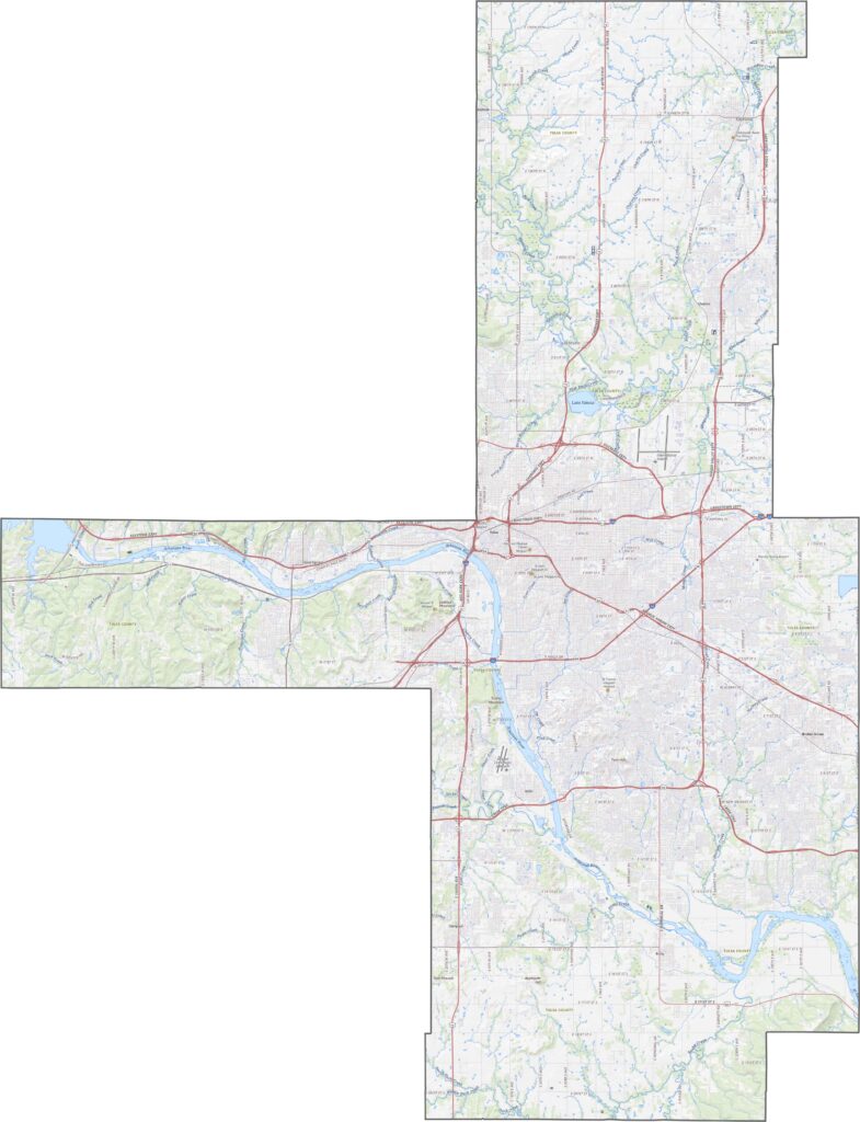
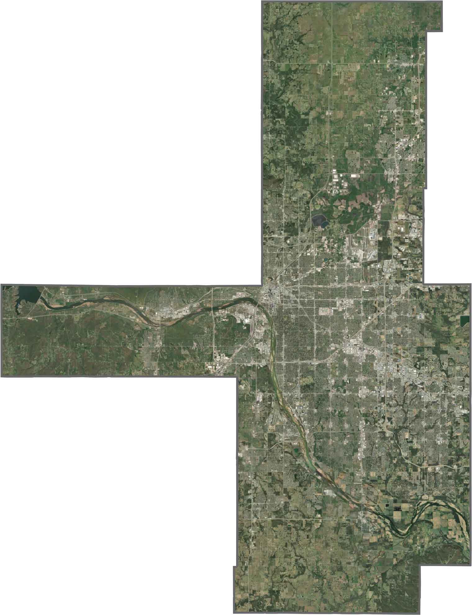
The city of Tulsa covers a large portion of the satellite view, with dense development and roads crossing in every direction. Patches of green stand out, especially along the Arkansas River. Farther from the city, the landscape gradually becomes more suburban.
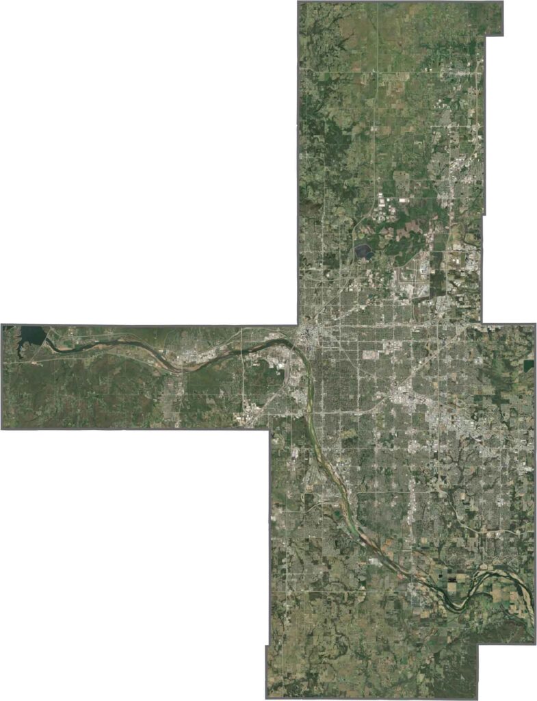
Tulsa County has a shape that looks like several rectangles fitted together. Its boundaries mostly follow surveyed lines rather than natural features. The county also does not border another state.









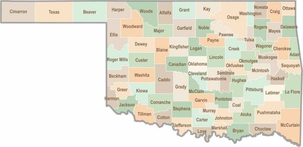
Oklahoma’s 77 counties are all a little different. One might welcome you with a grain elevator, while another greets you with murals, fry bread, and a packed Friday night football crowd.